 Shea CullenNSW Registered Architect 9748 · Updated 28 October 2026
Why does it matter how steep the property is?
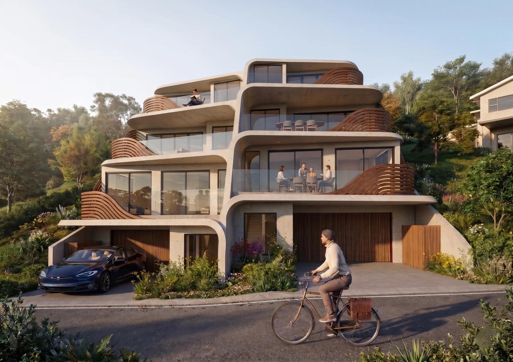
If you are planning to do a project on your site it will be more expensive the more steep it is, it may even mean that the site is unfeasible. It could also make it very difficult to make it accessible or design it so that you can age in place. Steep slopes in bushfire areas can also have higher bushfire attack level (BAL) ratings as the fire races up steep slopes. It is really important to know what your slope is before you purchase because it does have cost and feasibility implications. This is how to get contours so that you can determine what the slope is. Here are the different slope types:
- Gentle: Under 5% is a fairly flat block, and a slab on ground is usually straightforward.
- Moderate: 5% to 10% usually means cut and fill, a stepped slab or a drop edge beam, and some retaining.
- Steep: 10% to 20% usually needs a split level design or a raised floor, and engineered retaining.
- Very steep: Over 20% often needs pole or suspended floor construction and a geotechnical report before anything is designed.
For a quick first reading, type your address into the free slope calculator below. It measures your block from government elevation data, mostly LiDAR (laser measurements of the ground taken from a plane), down both side boundaries and across the front and rear, and gives you the fall in metres as well as the percentage. It is a guide, not a survey, so use the contour method further down to check it.
Check your site slope
Type your address and we will read the slope of your block from government elevation data, along with the fall in metres your builder will price against. NSW only.
How to find countour lines in NSW?
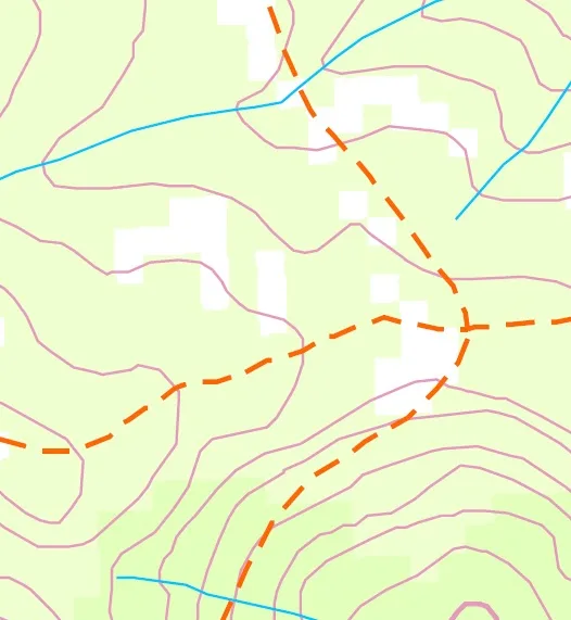
- Click on six maps with Topo. Click on your site, this will zoom you out to the topomap for your area. This is a way to get a rough sense of the fall across the site, the best and most accurate way is to get a contour survey of the site.
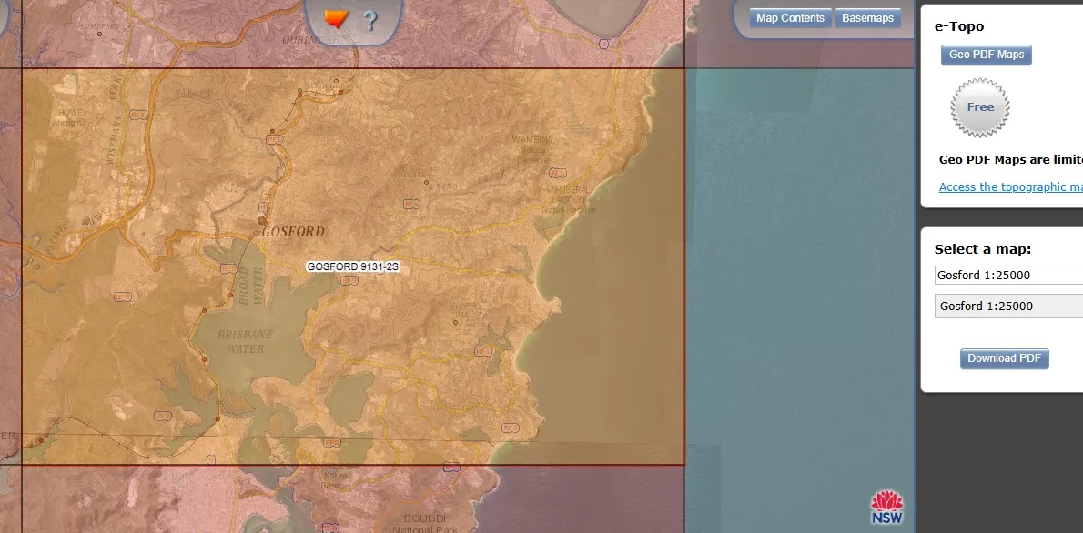
- Download the topomap for your area.
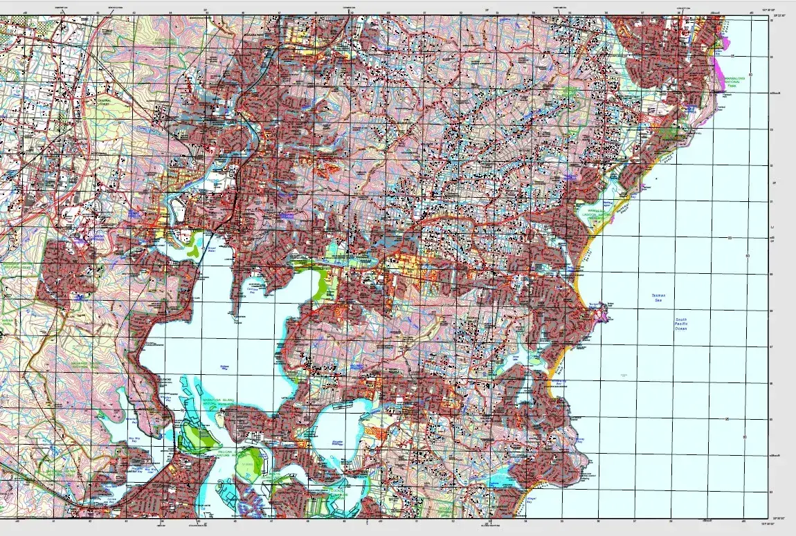
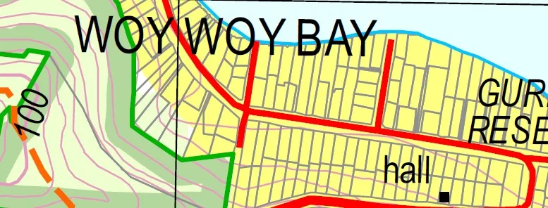
- Zoom into your property. Have a look at the contours and work out how high each contour is, in this case each contour is 10m, this was found by looking at the contours near high points. In the site below there are 2 x 10m contours so there is 20m fall across the site. To find the percentage of fall, use this guide to find the site width. The percentage fall is the fall across the site is 20m/ Site width (in this case 40m) so the fall percentage is 50%, a very steep site indeed.
How do i calculate how steep my site is?
Site steepness percentage=
Rise or fall across the site (number of contours)
Site length
To find the percentage of fall, use this guide to find the site width.