Open this walk on the interactive map
Central Coast Bushwalk
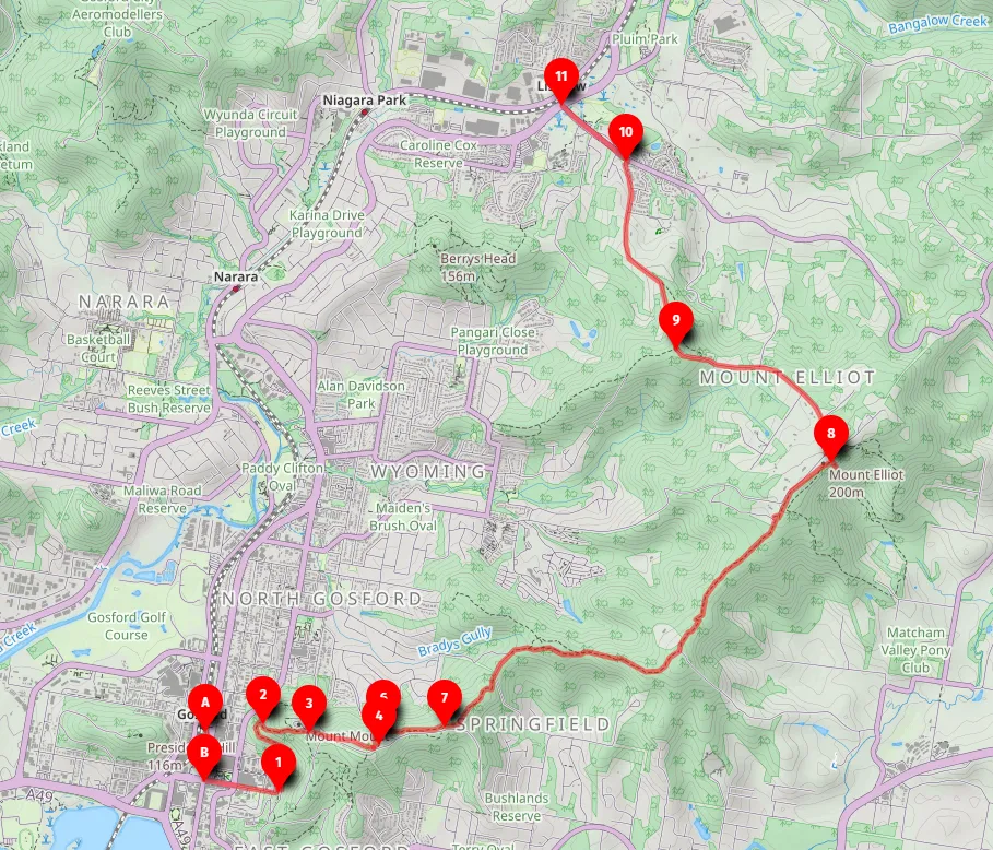
Gosford Station to Lisarow Station (13km)
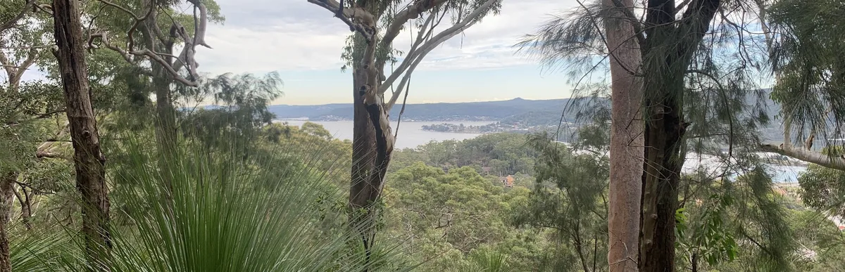
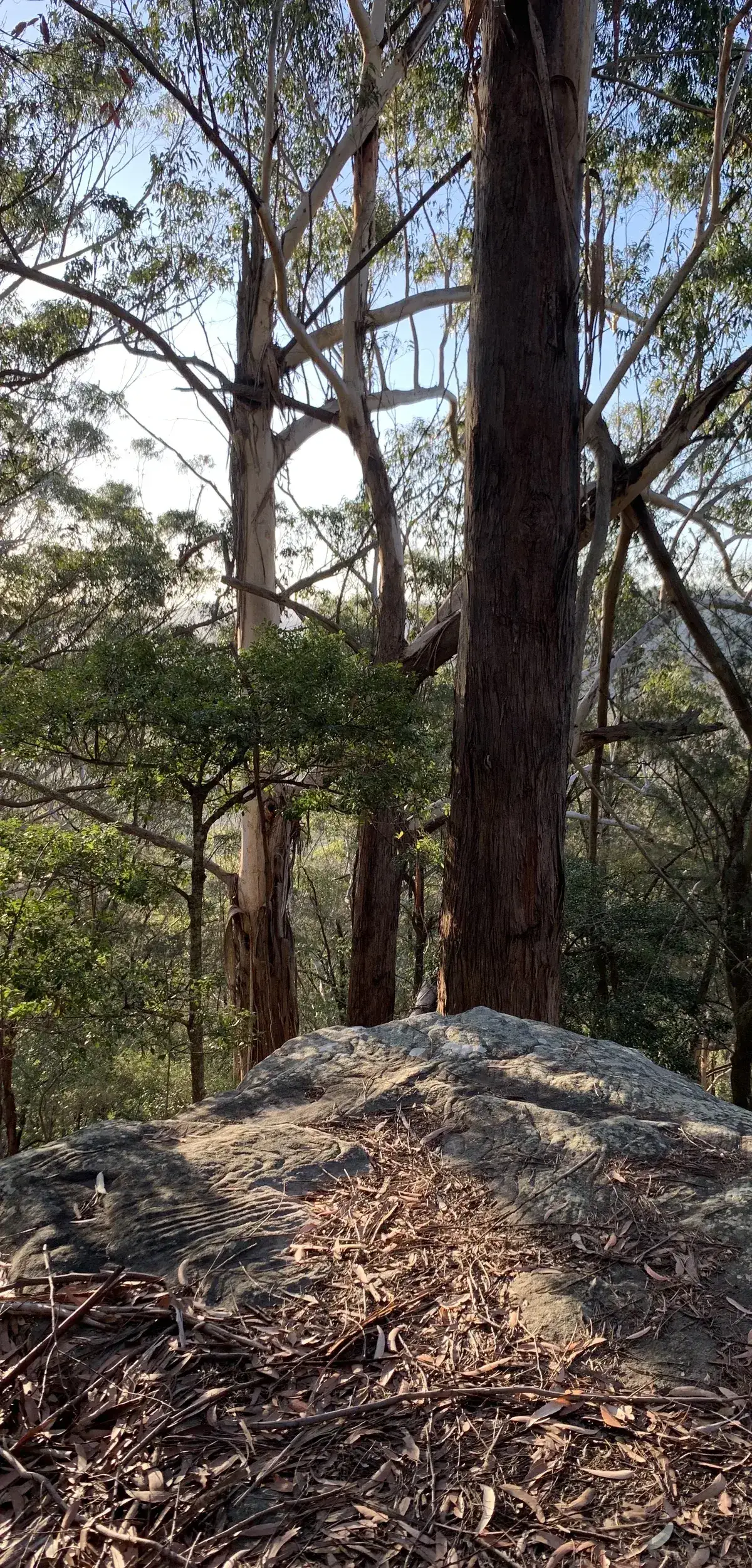
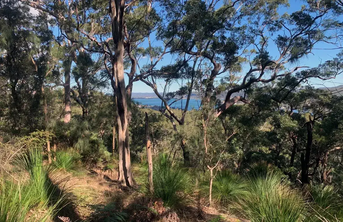
A 13km ridgeline traverse between Gosford and Lisarow stations with beautiful lookouts and wildlife spotting.
Elevation change: Up 440m, Down 210m
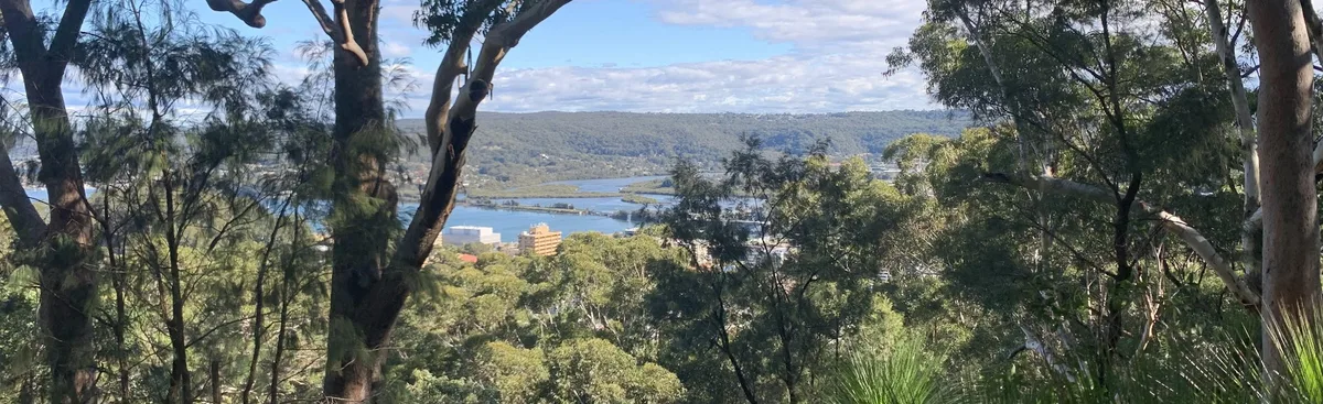
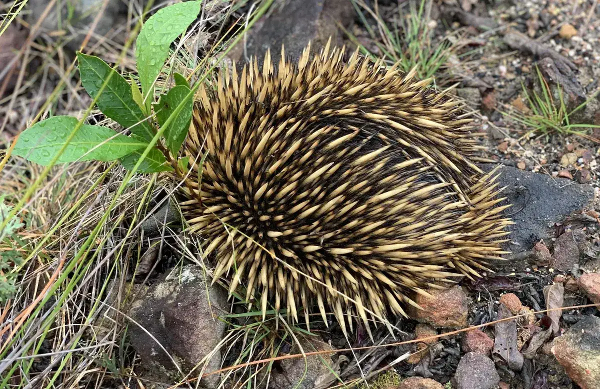
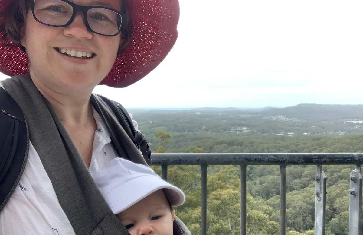
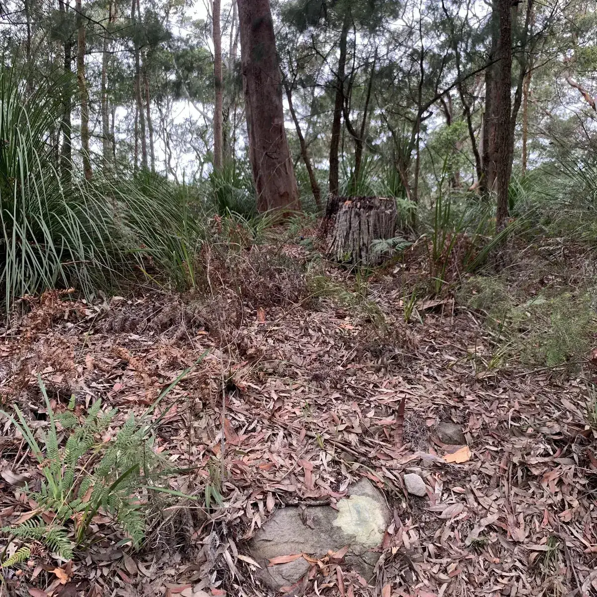
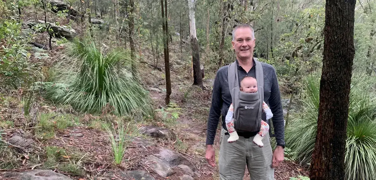
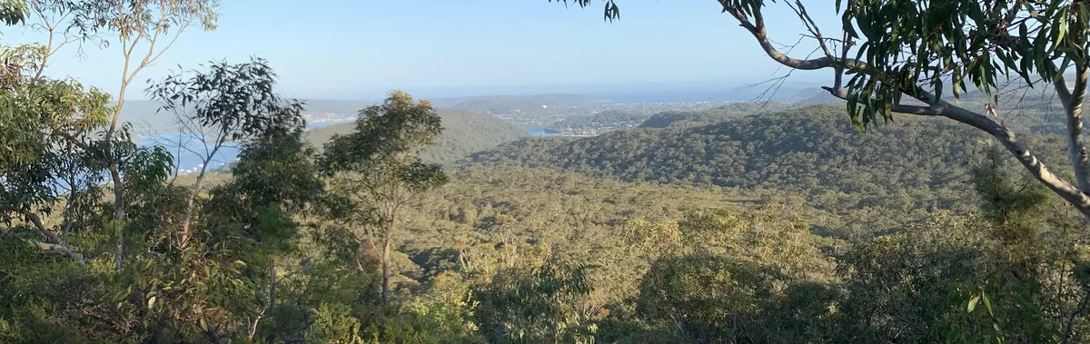
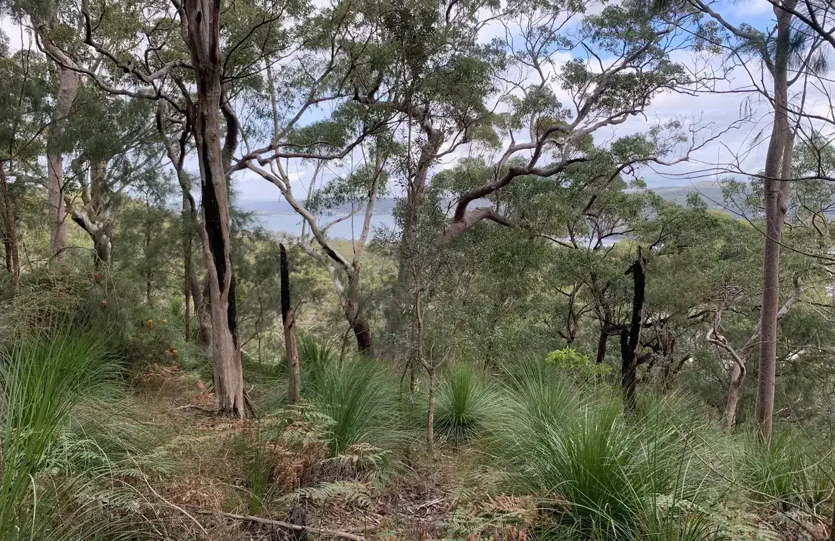
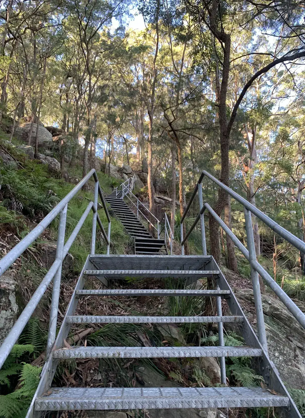
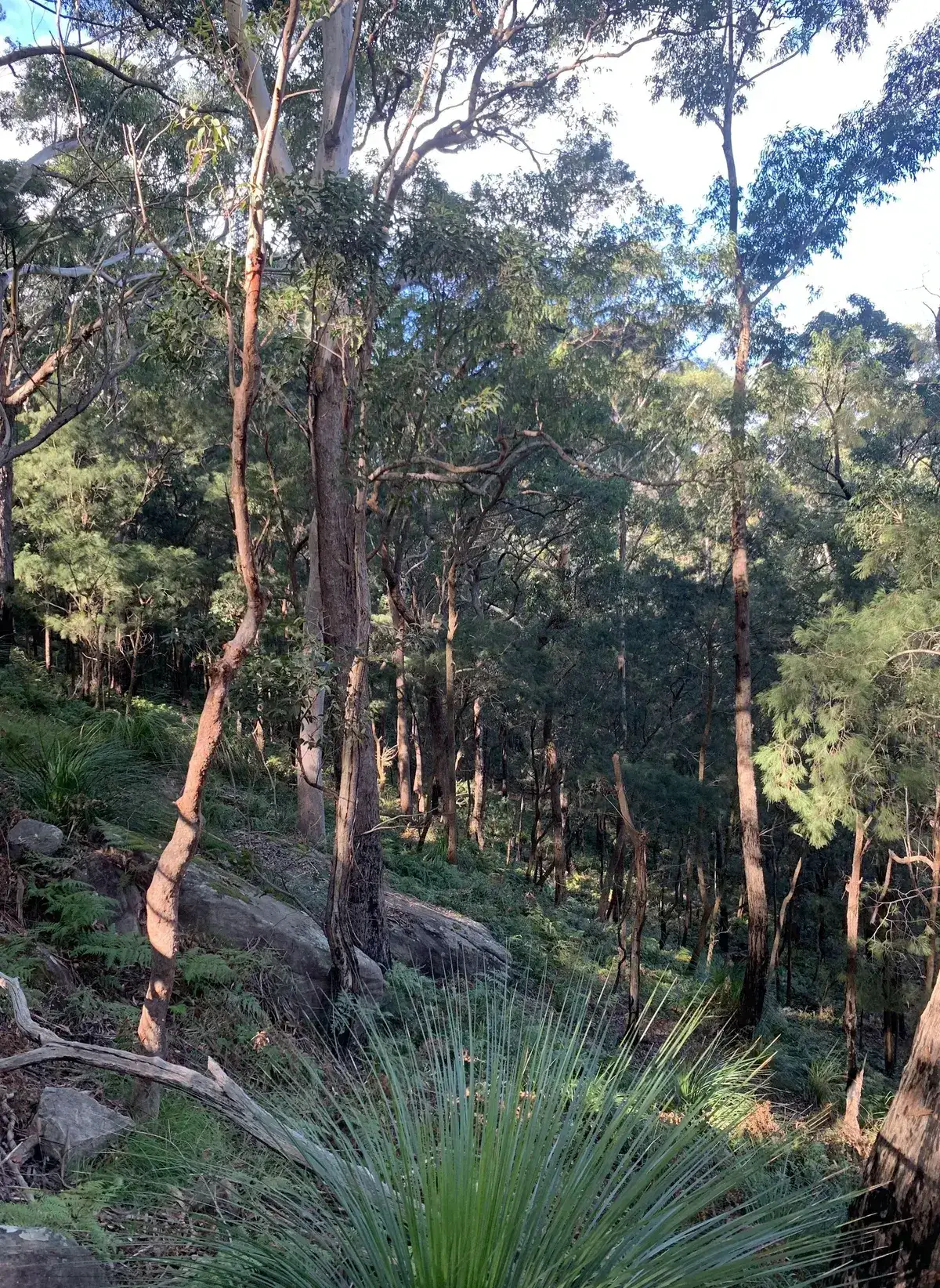
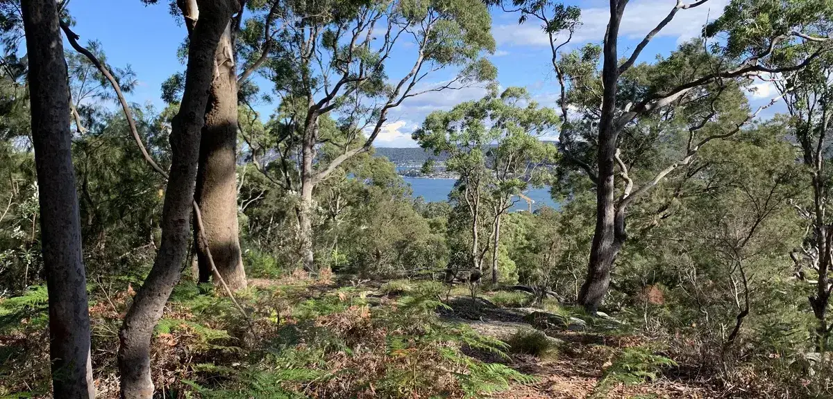
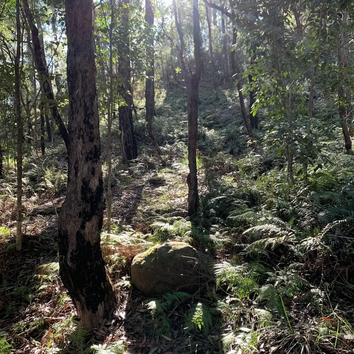
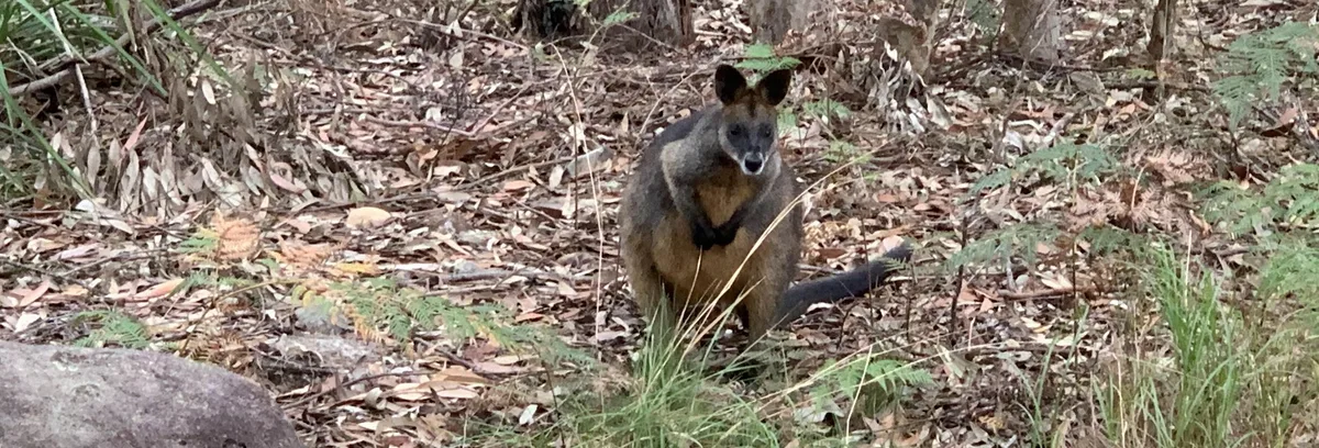
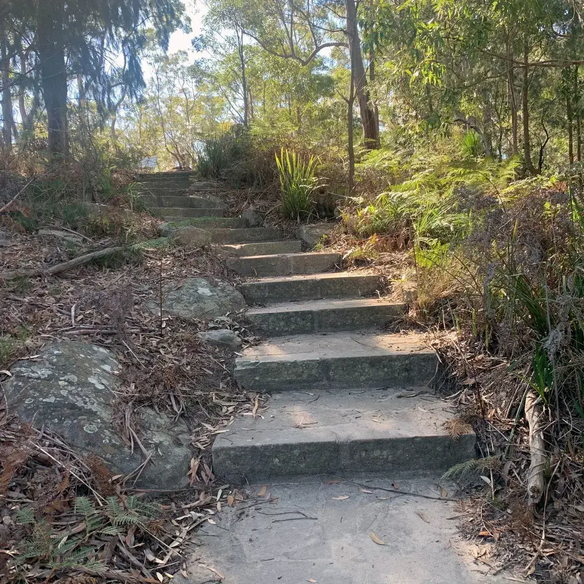
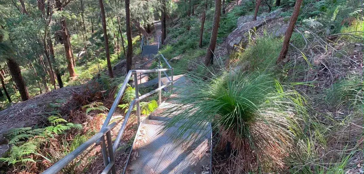
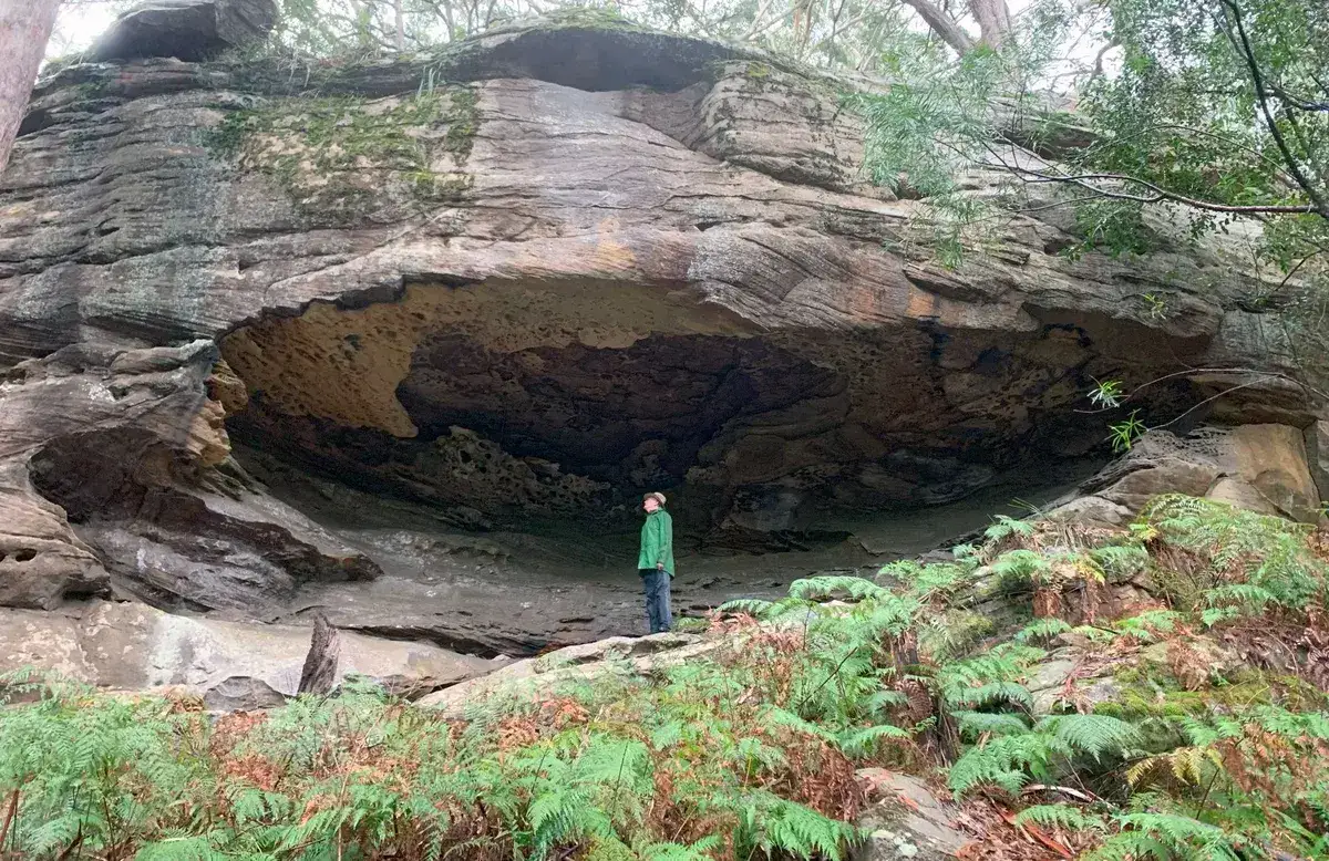
This traverse goes along the ridgeline between Gosford and Lisarow and has some beautiful lookouts. In Rumbalara I'm always struck by how beautiful this area is, have spotted echidnas, wallabies and diamond pythons along here. Always an enjoyable walk.
A. Start, Gosford Station: -33.423848, 151.3419914 Google Maps Link
B. Turn left at Donnison St: -33.426946, 151.341884 Google Maps Link
Walk directions
- Start at the base of Rumbalara: -33.427623, 151.347774 Google Maps Link
- Turn right: -33.42309,151.34649 Google Maps Link
- Cross the road and continue on the path on the other side: -33.42374,151.35025 Google Maps Link
- Turn right along the fire trail: -33.42407,151.35186 Google Maps Link
- Turn Left down the hill: -33.42451,151.35559 Google Maps Link
- Turn Right back up the hill: -33.42334,151.35600 Google Maps Link
- Turn Left along the Muat Walk: -33.42339158282182, 151.36076152324677 Google Maps Link
- Take the Time to have a look at the beautiful At John Lookout and picnic area, leave the picnic area and walk long Atkinson Road and then continue up even when it turns into a firetail: -33.406170306533404, 151.39008879661563 Google Maps Link
- Go straight down the firetrail (Barduk Rd), North, down the hill: -33.39855710967195, 151.37894153594974 Google Maps Link
- Turn left along the Ridgeway: -33.386195, 151.37503623 Google Maps Link
- Yay! You've reached the end at Lisarow Station: -33.382540, 151.369972 Google Maps Link


Get Started
Thinking about a
project?
Good Architect only takes a limited number of projects a year to keep the quality high.
Talk to Us