The book
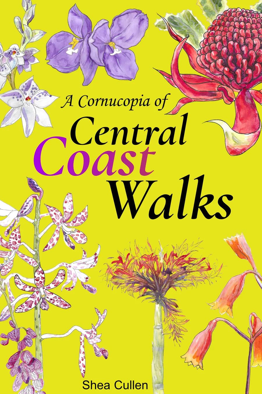
Over 100 Central Coast walks in one book
A Cornucopia of Central Coast Walks gathers the walks on this site into a book you can keep in the car. Each walk has a map, the distance and climb, and numbered directions from the start point, with a wildflower guide at the back.
See the book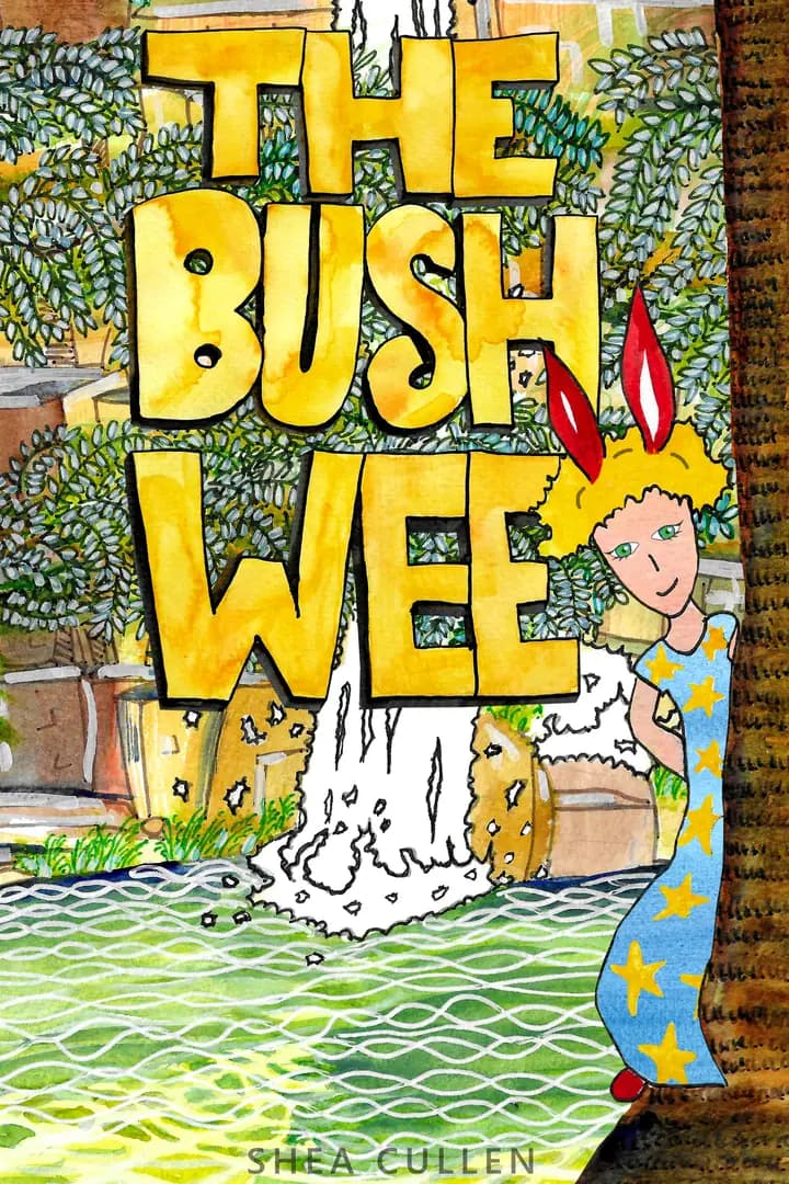
A picture book
A picture book for little walkers
The Bush Wee is my read aloud picture book for children aged 2 to 7. A little explorer sets off on a big walk in the Central Coast bush, then realises there is no toilet for miles. Along the way it teaches real bush skills, like which soft leaves make good toilet paper.
See the picture bookThis walk is on Darkinung country. Good Architect acknowledges the Darkinung people as the Traditional Custodians of this land and we pay our respects to Elders, past, present and emerging. Darkinjung Land Council.