Berrys Head - Explorer (2.5km)
A 2.5km bushwalk through rainforest reserve with rocky outcrops, ridge tracks and off-track navigation at Berry Head Road, Central Coast.
Elevation change: 110m up 110m down
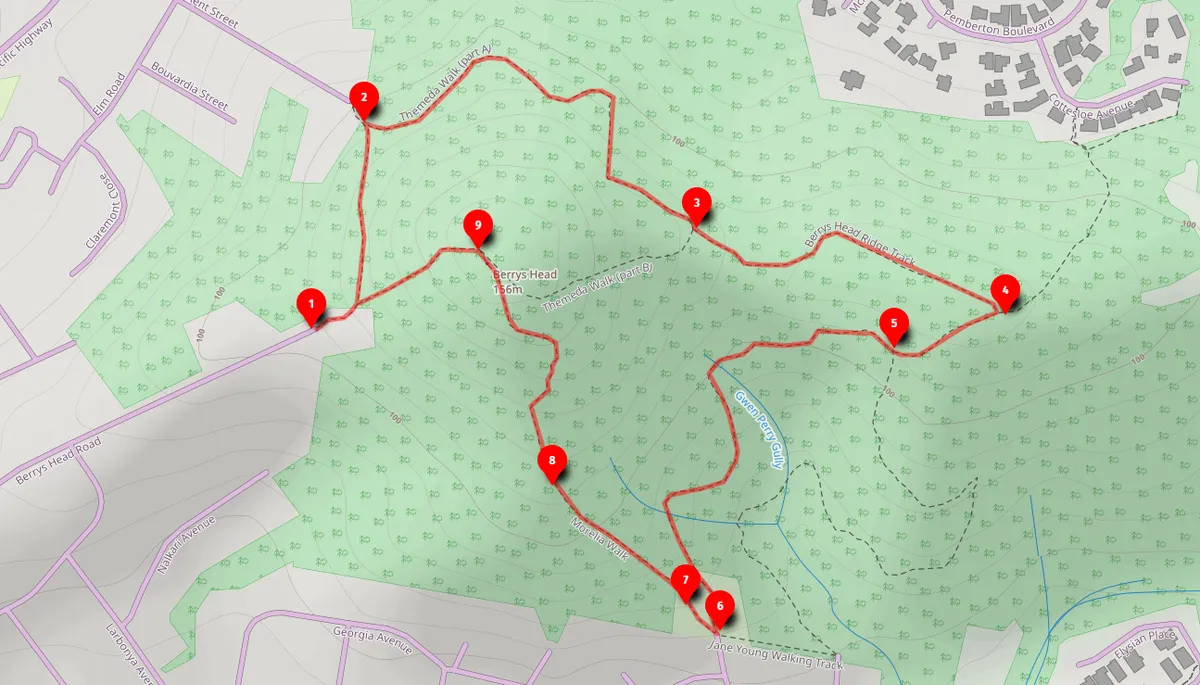
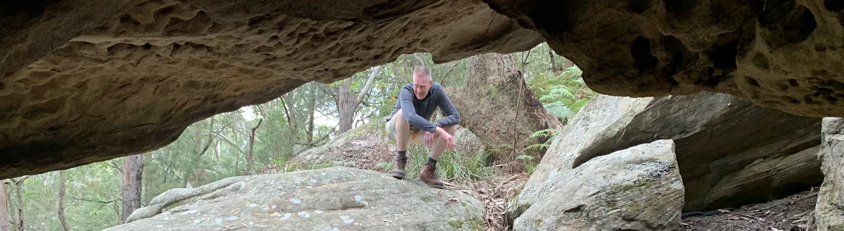
This is a beautiful piece of rainforest reserve, a lush valley worth exploring with different rocky outcrops to explore as well. As this has the Jane Young Loop as part of it, beware leeches. There is a small section of this walk that is not on a track so do not undertake if you are not comfortable with off track walking. Note: It is possible to do this bushwalk via public transport by taking the train to Narara Train Station and walking to the end of Berry Head Road from there.
Berrys Head is located at the intersection of three beautiful leafy green Central Coast Suburbs; Niagara Park, Lisarow and Wyoming.
How do you pronounce Niagara Park?
Niagara Park generally get shortened and Ausified to "Nia-gra".
Walk directions
- Start, end of Berry Head Road, turn left at the start: -33.392501, 151.357957 Google Maps Link
- Turn right to stay on the track: -33.390572, 151.358473 Google Maps Link
- Turn left to walk to the top of the Berrys Head Ridge Track: -33.391600, 151.362375 Google Maps Link
- Turn right to head down the hill: -33.392461, 151.365938 Google Maps Link
- Turn right along the Jane Young Loop (note, you can turn left here and it will take you back to the same place as well): -33.392797, 151.364390 Google Maps Link
- Turn Right and head up the hill to the Morella walk: -33.395448, 151.362663 Google Maps Link
- Continue along the Morella walk which is signposted: -33.395046, 151.361980 Google Maps Link
- The official part of the Morella track runs out so head up the hill to the top of Berrys Head (there is no track until you get to the top): -33.394403, 151.361004 Google Maps Link
- Head west back down to Berry Head Road: -33.392016, 151.359743 Google Maps Link

Thinking about a
project?
Good Architect only takes a limited number of projects a year to keep the quality high.
Talk to Us