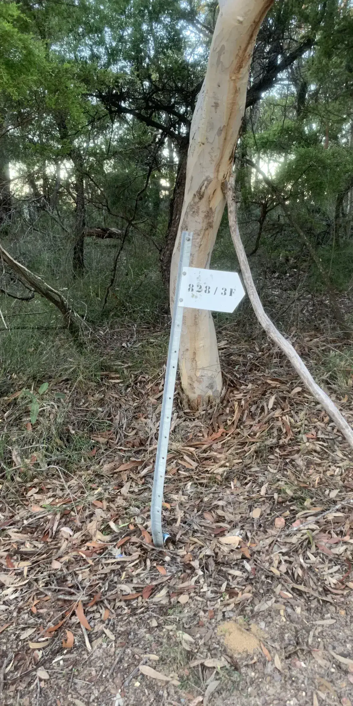
- Turn off to Spion Kop from fire trail
- Turn off to Spion Kop from red creek
A 13km return walk to Spion Kop via Bambina Road through Brisbane Water National Park. A Central Coast favourite.
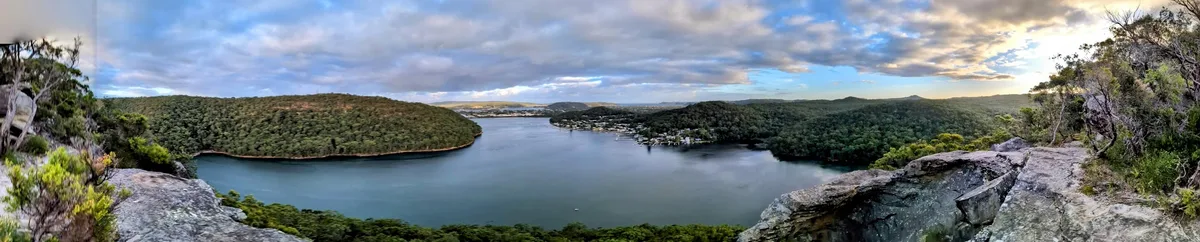
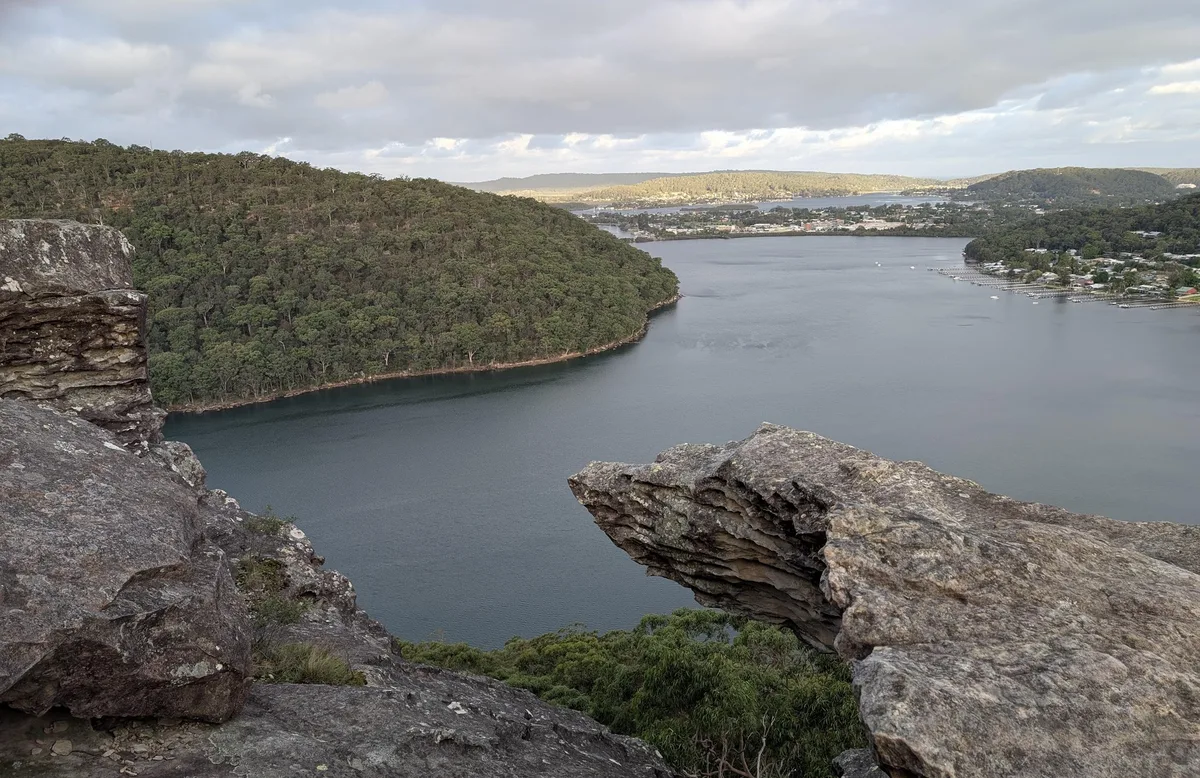
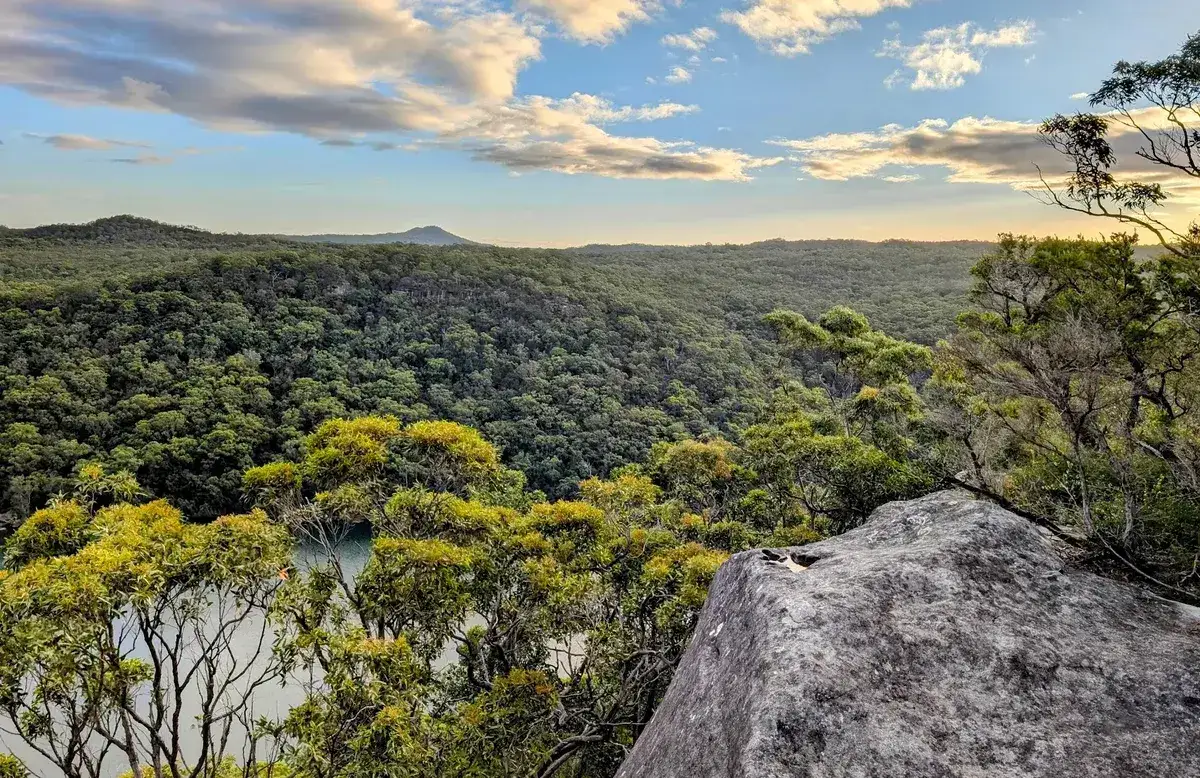
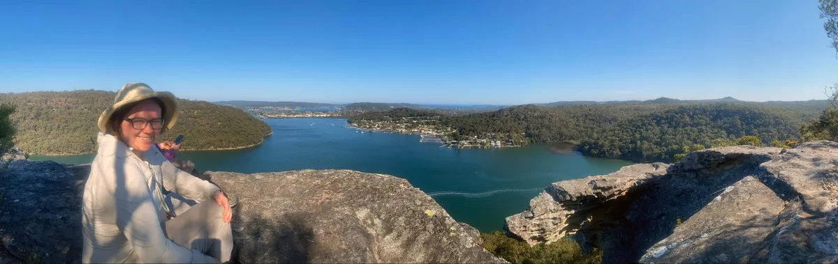
This is by far my favourite walk on the Central Coast. The trail leads to a dramatic rock formation called Spion Kop, which looks a bit like a skull. It sits between two bays and gives you sweeping views all the way to Lion Island and beyond. It’s the kind of spot that makes you stop and take it all in — quiet, wild, and high above everything.
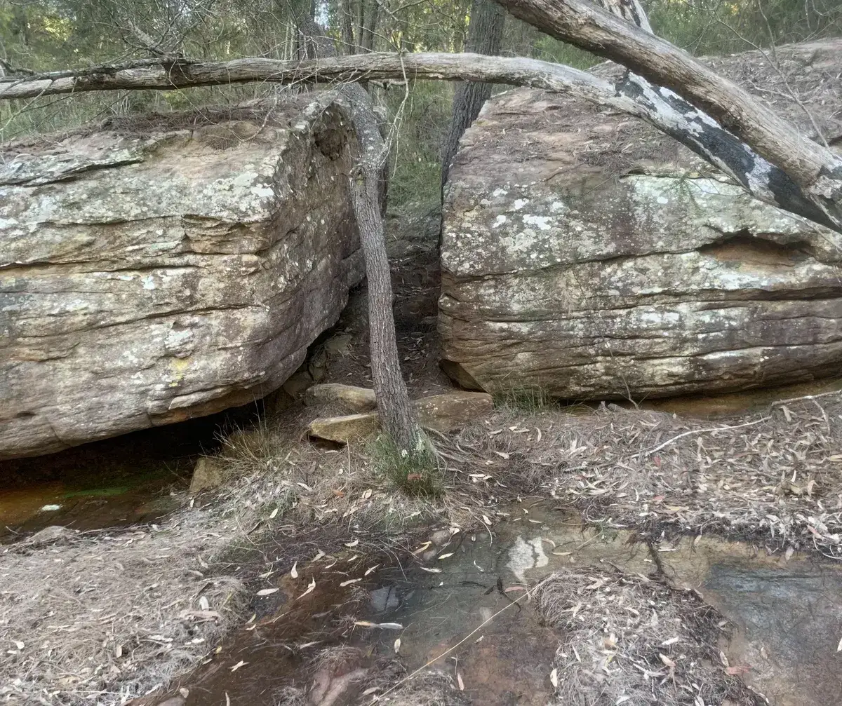
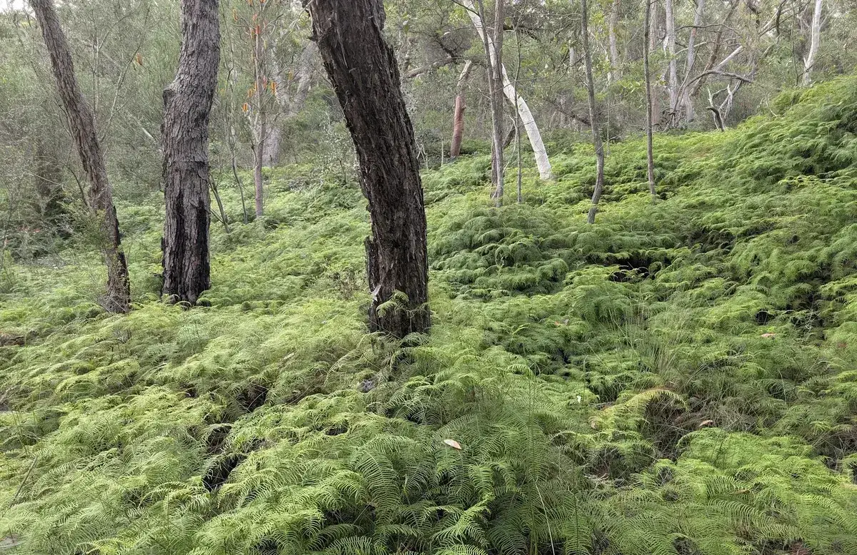
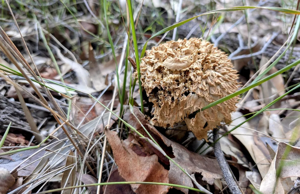
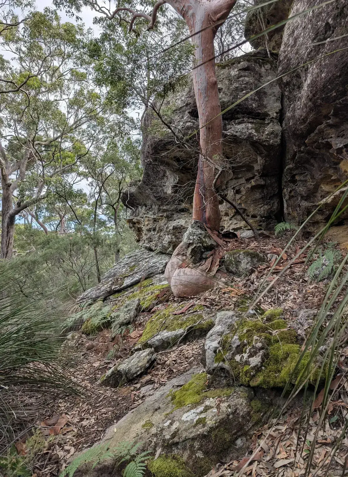
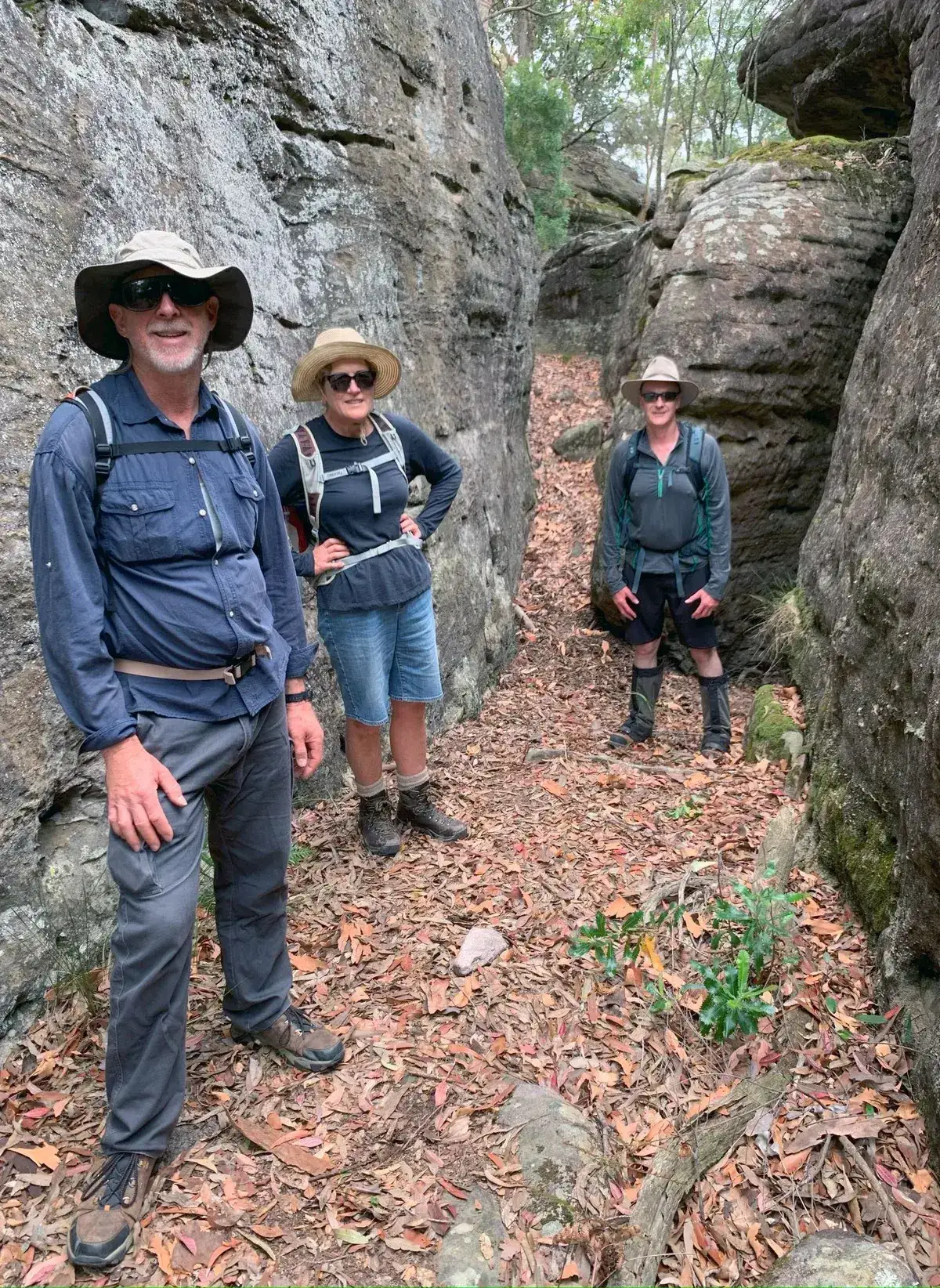
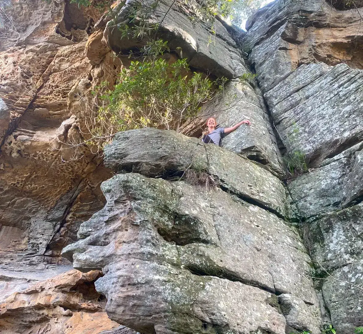
The walk to Spion Kop takes around four hours return and follows a clear bush track through classic Central Coast bushland. You’ll see tall gums, sandstone caves, birds, and the occasional goanna if you're lucky. The dramatic skull like outcropping of Spion Kop with a bay on each side and a view that stretches as far as Lion Island is hard to beat. This is the easiest way to get to Spion Kop, if you are looking for a tougher but faster walk to get to Spion Kop, try Koolewong to Spion Kop, it is a bit of a scramble at the start, this version of the walk is a lot easier. This walk takes around four hours.
This is one of the best kept secrets in Brisbane Water National Park, a great option if you want a peaceful walk with a big reward at the end. The lookout is unforgettable, and the track is usually quiet. If you’re after a long walk with few people and incredible views, this one is hard to beat. Folow the rock cairnes.
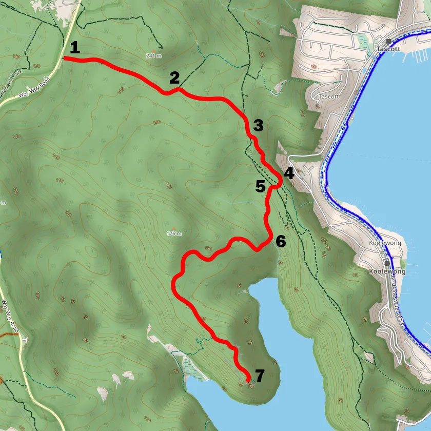
Click on the map, it is powered by open street map and shows you where the path is - you can click on the navigator icon to show you where you are and check if you are on the right track.
This is exactly how to find Spion Kop, it is a bit hard to find wo we highly recommend using the map and clicking on the locator button.


Good Architect only takes a limited number of projects a year to keep the quality high.
Talk to Us