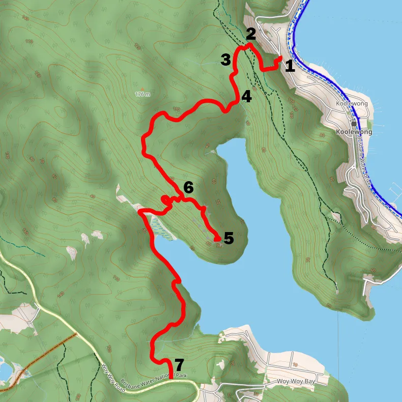
Koolewong to Woy Woy Bay via Spion Kop (8.5km)
An 8.5km walk from Koolewong to Woy Woy Bay via the dramatic skull-like outcrop of Spion Kop with bay views.
Elevation change: Up 300m, Down 300m
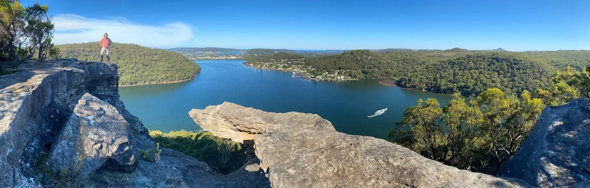
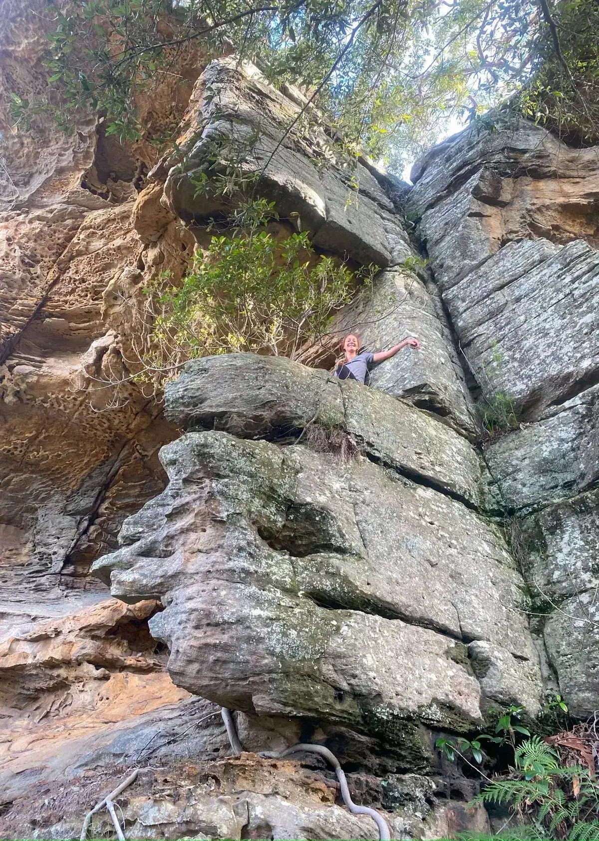
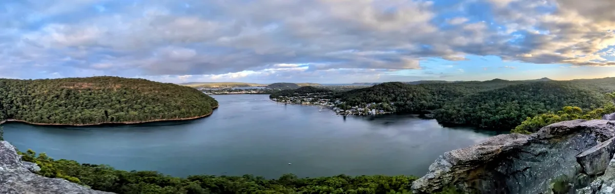
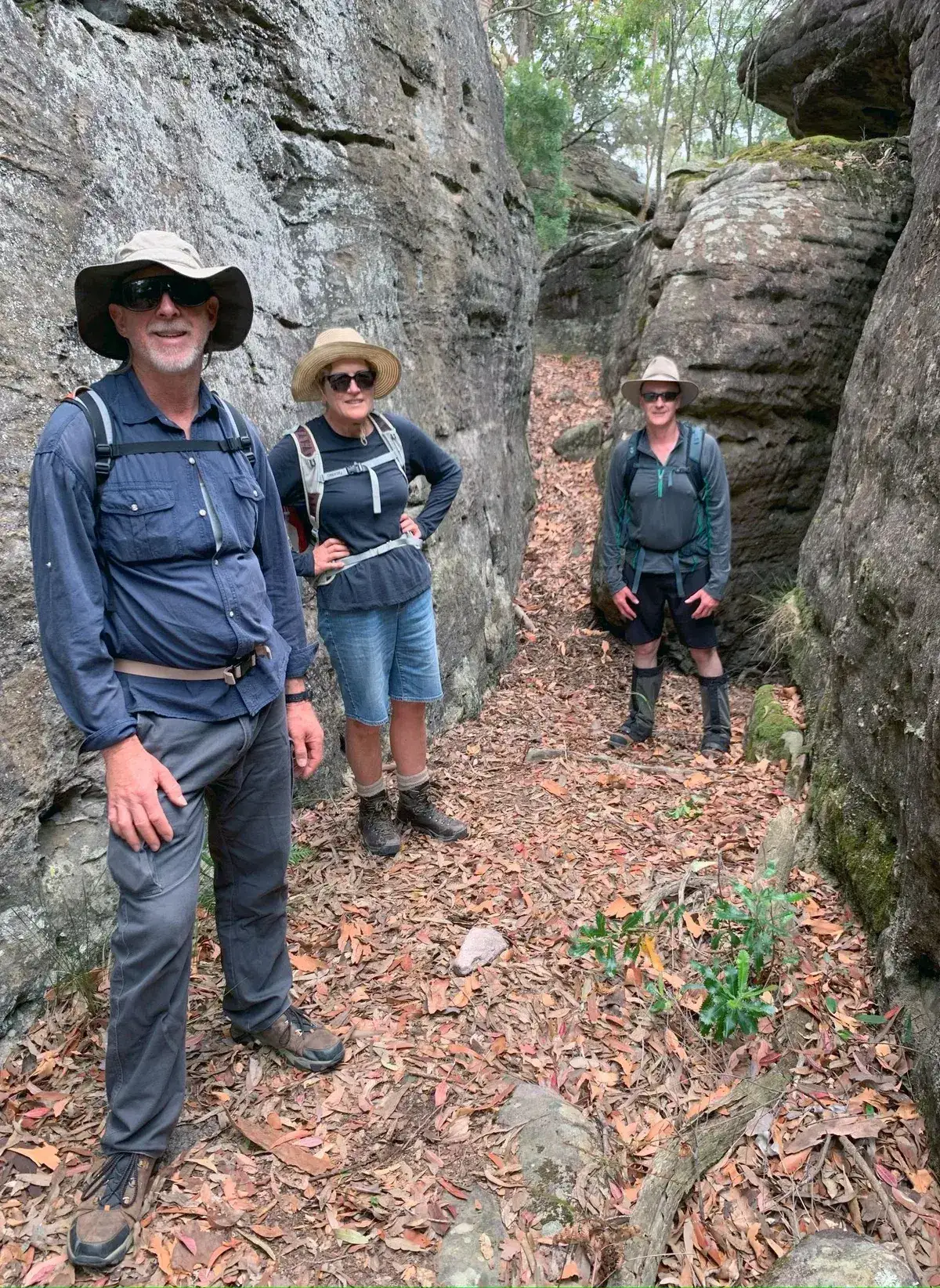
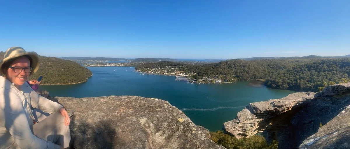
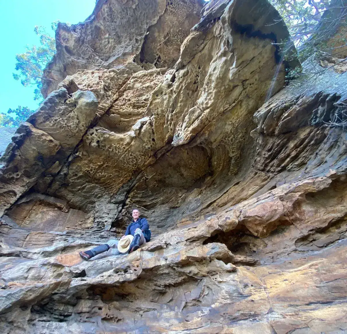
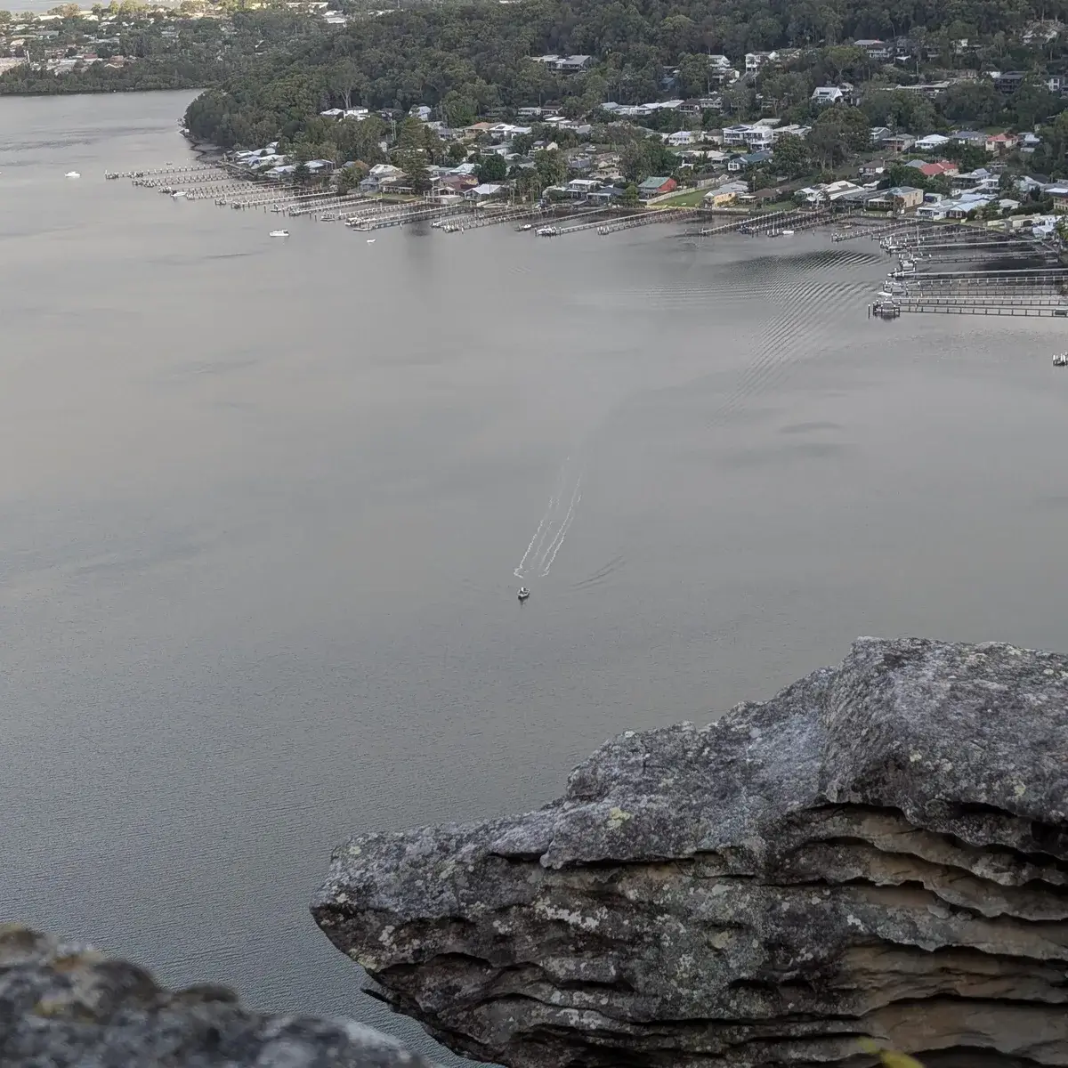
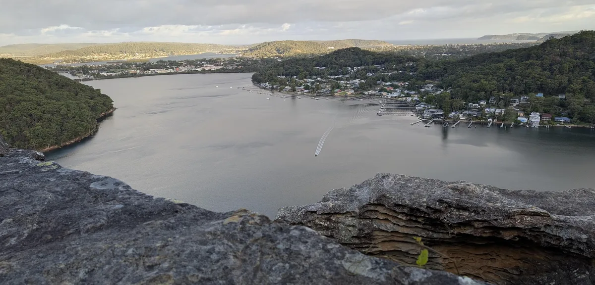
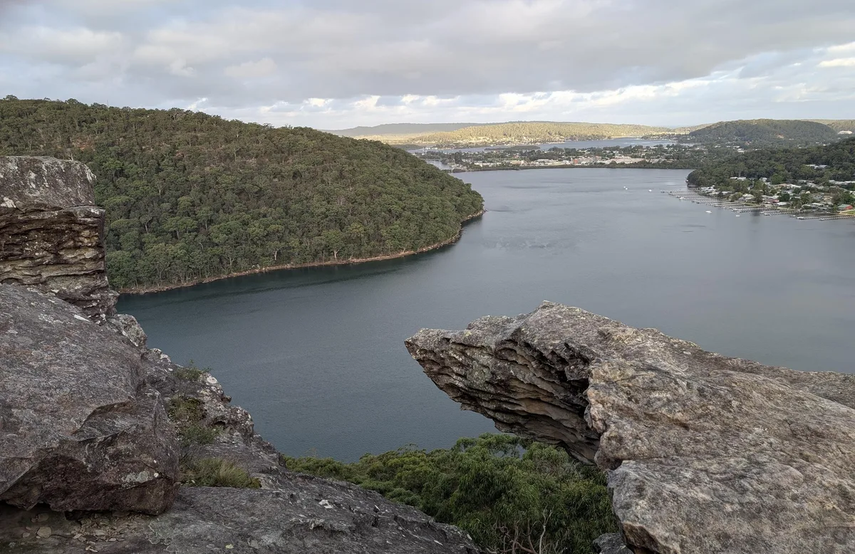
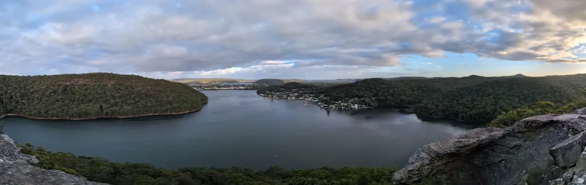
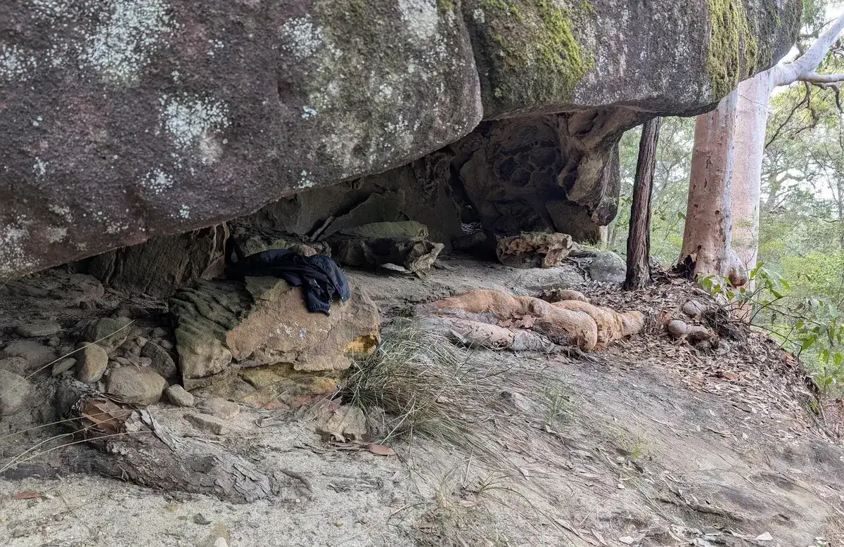
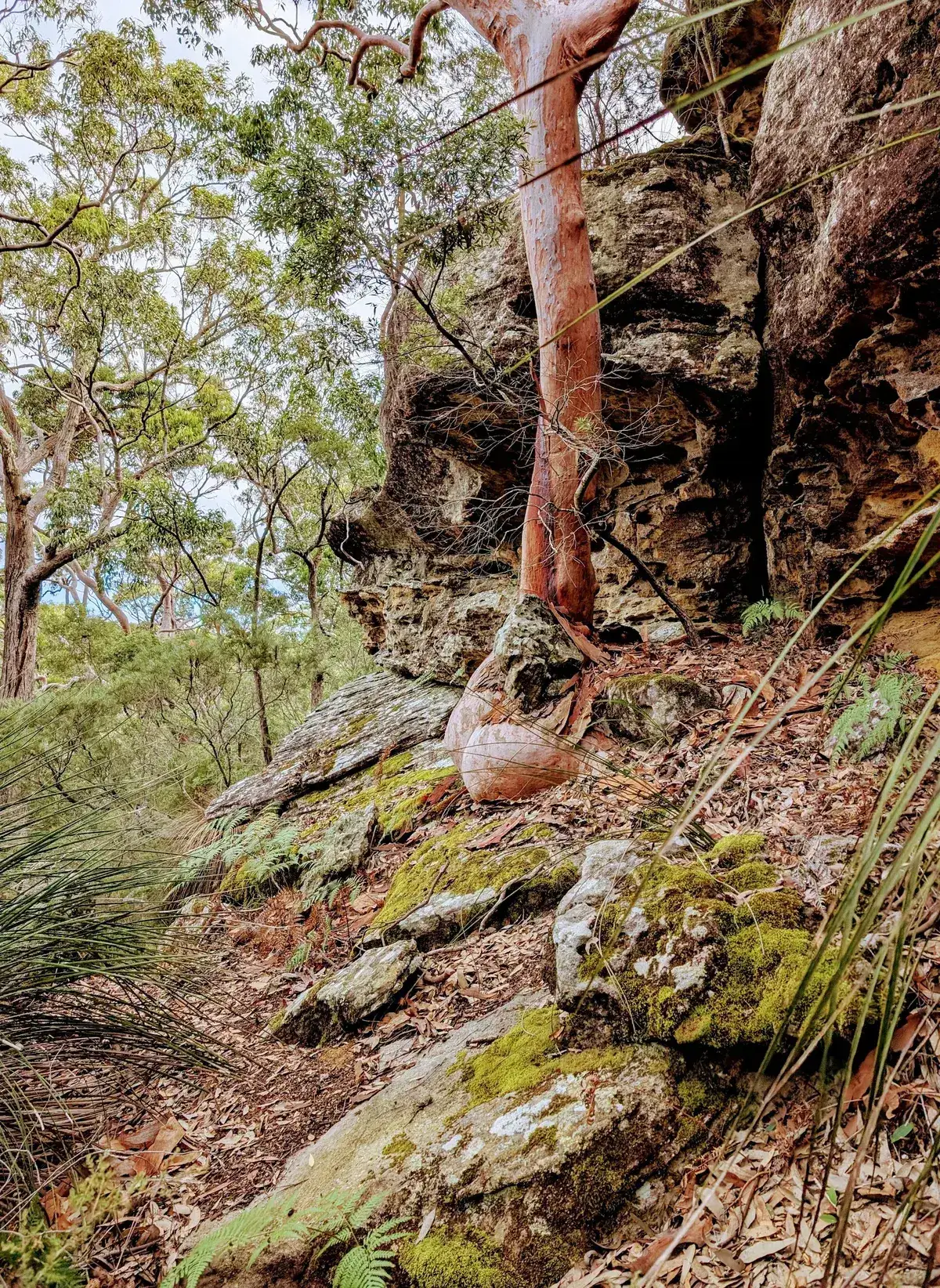
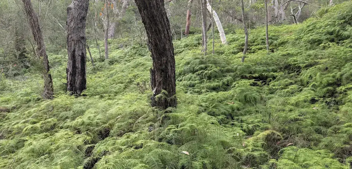
This is by far my favourite walk on the Central Coast. The dramatic skull like outcropping of Spion Kop with a bay on each side and a view that stretches as far as Lion Island is hard to beat. This way to get to Spion Kop is a bit of a scramble, so if you would like a less challenging way to get there, would suggest Spion Kop - Return from Bambina Road (13km) instead. Having said that, this is the fastest and it also has wonderful caves on the way. The red river in the valley between the two ridges is worth a visit itself. This walk takes around four hours.
This is also the best way to get to the bush from the streets of Koolewong where the houses are.
Click on the map, it is powered by open street map and shows you where the path is - you can click on the navigator icon to show you where you are and check if you are on the right track.
This is exactly how to find Spion Kop, it is a bit hard to find wo we highly recommend using the map and clicking on the locator button.
Walk directions
- Start, behind the bus stop, head up the hill: -33.46163,151.31220
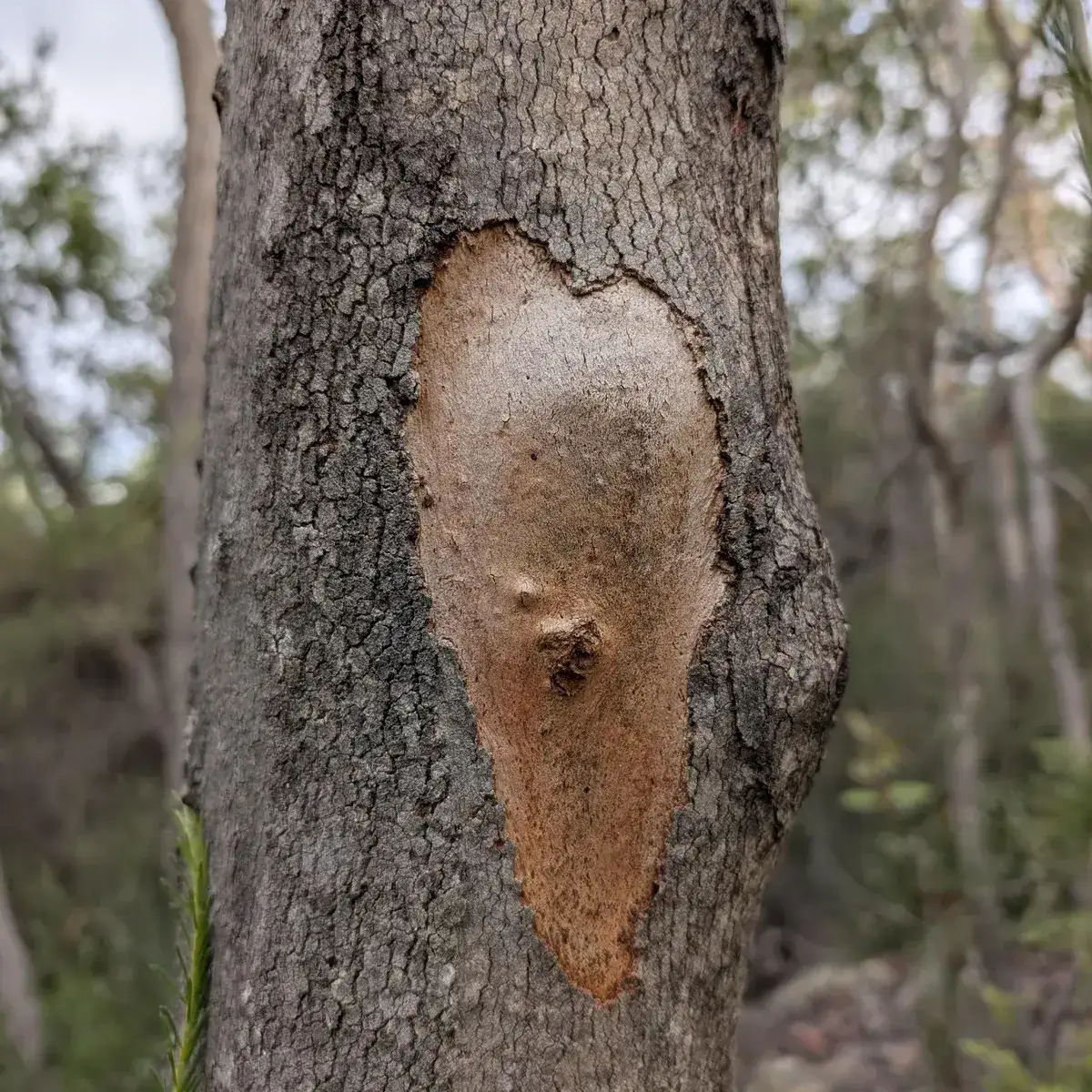
- Turn left where the red tape is to cross back over the fire trail and follow a very small dry creek bed: -33.46066,151.30967
- Turn left at the creek and follow the red rock creek down the hill: -33.46282,151.30843
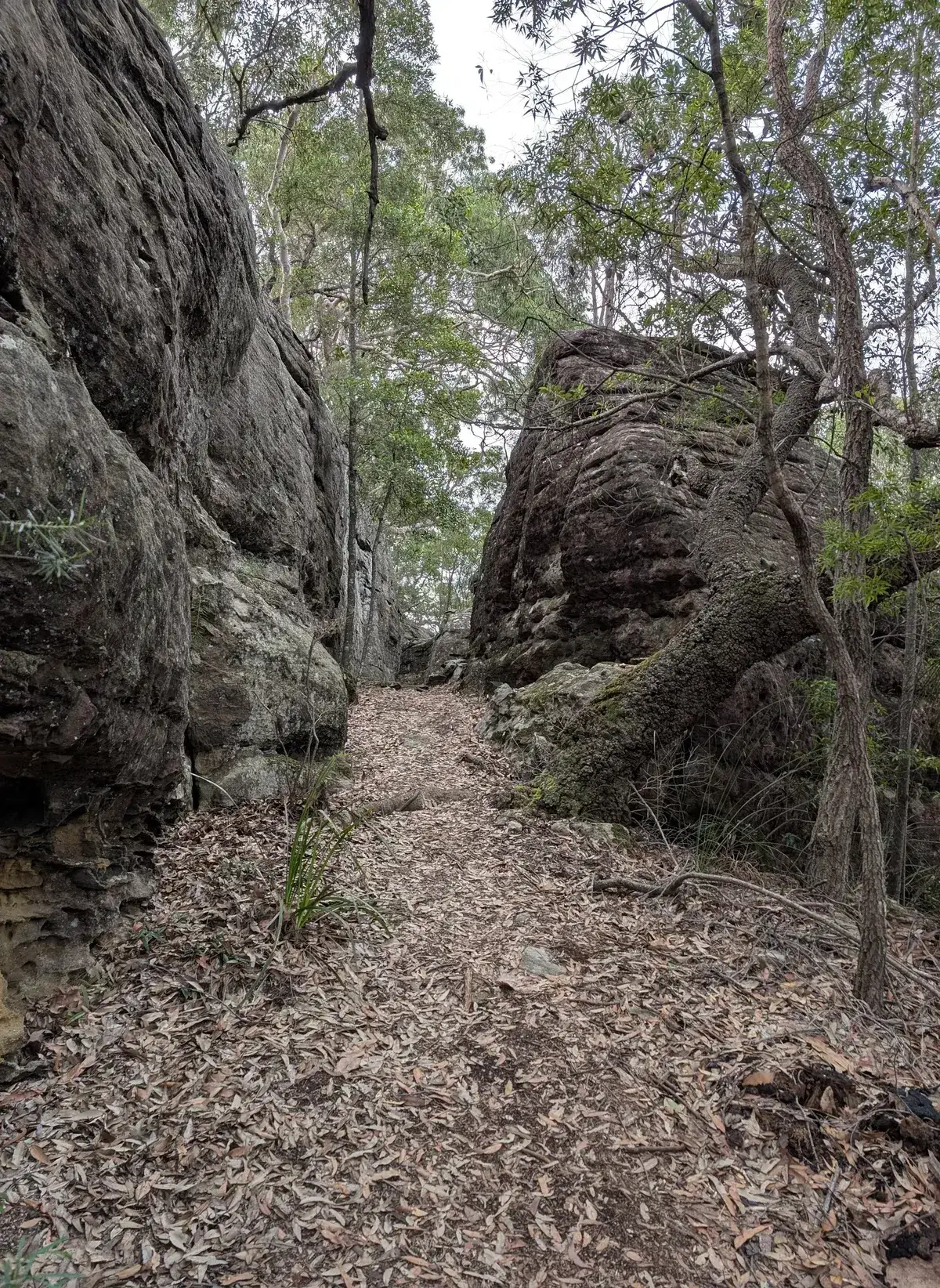
- Just before the creek drops down turn right between two boulders to head up the hill, follow the rock cairns the rest of the way to Spion Kop: -33.46465,151.30873
- Yay! You've reached the stunning view at Spion Kop: -33.47461,151.30668
- There is a rock cairns and Tape near a crevice in the rock, head down and follow the pink tape: -33.47167,151.30404
- Yay! You've reached the end at Woy Woy Firetrail: -33.48439,151.30305
Thinking about a
project?
Good Architect only takes a limited number of projects a year to keep the quality high.
Talk to Us