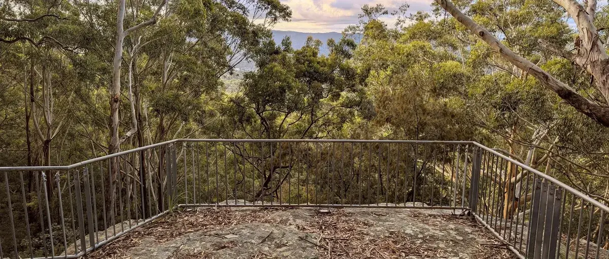
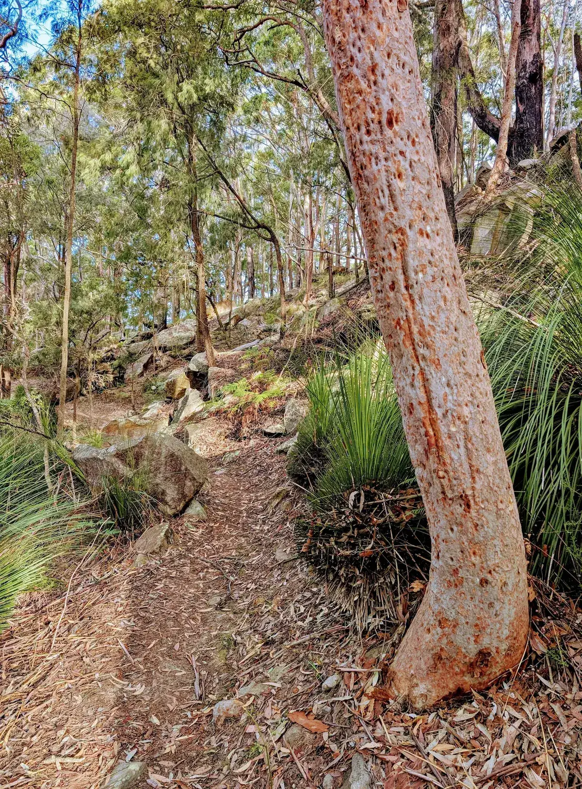
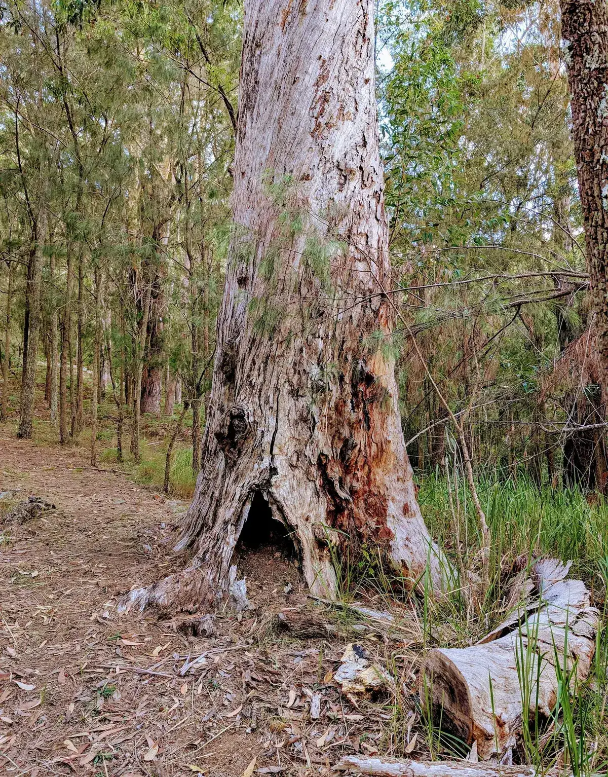
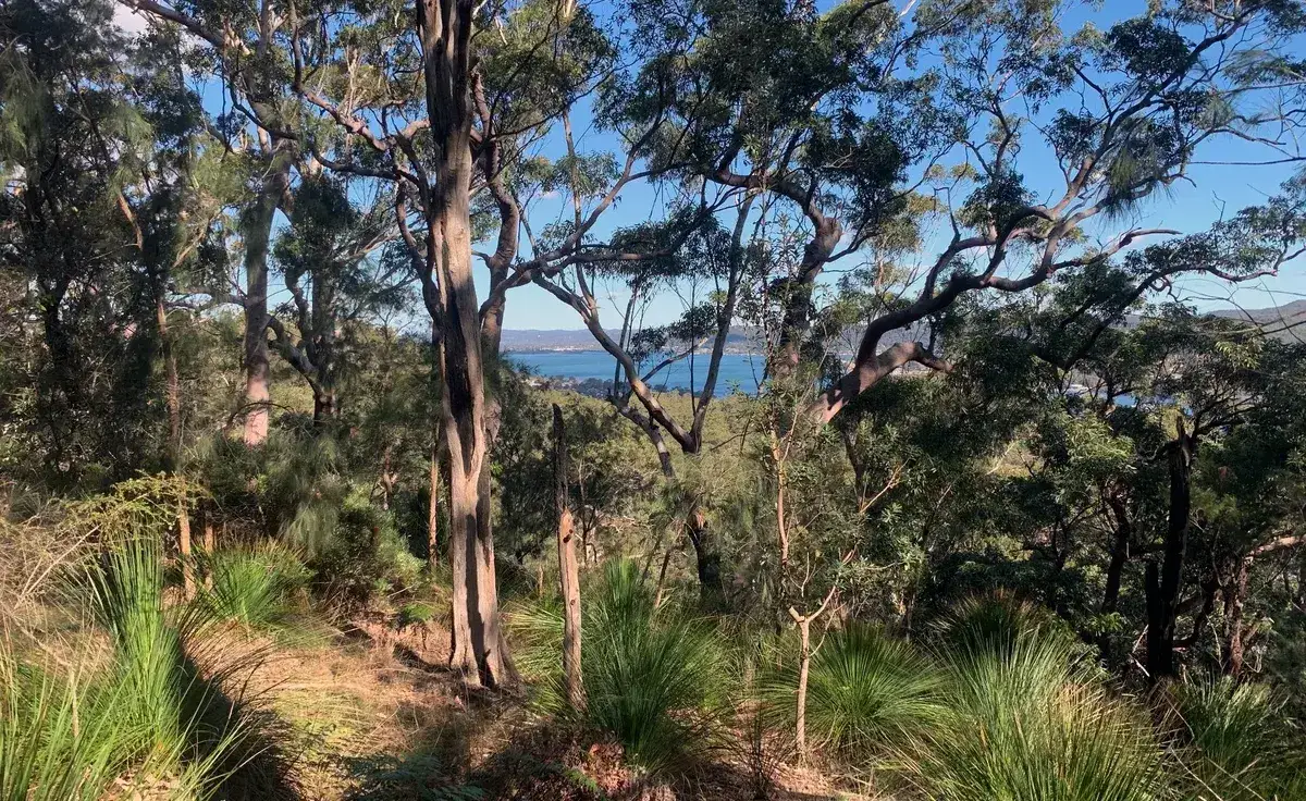
Search this site
Embedded Files
  • Home
  • About
  • Tools
    • Additions
    • New Homes
    • Granny Flats
    • Duplexes
    • Townhouses
    • Childcare
    • Apartments
    • Developer Tools
    • Consultant List
    • Philosophy
    • Bushwalks
    • Central Coast
  • Success
  • Bushwalks
  • Contact
  • Site Assessment
 
  • Home
  • About
  • Tools
    • Additions
    • New Homes
    • Granny Flats
    • Duplexes
    • Townhouses
    • Childcare
    • Apartments
    • Developer Tools
    • Consultant List
    • Philosophy
    • Bushwalks
    • Central Coast
  • Success
  • Bushwalks
  • Contact
  • Site Assessment
  • More
    • Home
    • About
    • Tools
      • Additions
      • New Homes
      • Granny Flats
      • Duplexes
      • Townhouses
      • Childcare
      • Apartments
      • Developer Tools
      • Consultant List
      • Philosophy
      • Bushwalks
      • Central Coast
    • Success
    • Bushwalks
    • Contact
    • Site Assessment

Back to Bushwalks

Sign Up to Central Coast Bushwalks

Link to Map

Entry on Tottenam Place Circuit

Start Point

Rumbalara - North Gosford Tottenham Place Circuit (3km)

Elevation change: Up 180m, Down 180m

This is a lovely walk to do in the afternoon as it is quiet short and captures the last of the light as it is on the ridgeline. If the weather is very prone to leeches or mosquitoes then you can skip the beautiful rainforest track on the south and cut back across the road at the top.

  1. Start at the end of Tottenham Place: -33.421475, 151.354913 Google Maps Link

  2. Turn left at the water tanks: -33.423388, 151.356030 Google Maps Link

  3. Turn right back towards Rumbalara Lookout Road - crossover there and continue downhill: -33.423358, 151.360872 Google Maps Link

  4. Have a look at the stunning view at Yarunga Picnic Area then continue along the road and turn left onto the Flannel Flower Walk: -33.425532, 151.354723 Google Maps Link

  5. Turn Left down the hill along the fire trail: -33.42510188195381, 151.35074615478516 Google Maps Link

  6. Turn Right onto the walking track: -33.42539737524878, 151.35048866271975 Google Maps Link

  7. Turn Right, cross the road and walk along the path as it becomes a firetrail: -33.423840, 151.350214 Google Maps Link

  8. Turn right onto the firetrail, continue on until you get to step 2, then turn right down the hill, back to the start point: -33.4240542158032, 151.35186195373538  Google Maps Link

Start Point

Back to Bushwalks

Sign Up to Central Coast Bushwalks

InstagramFacebookLinkedInYouTube
Good Architect Pty Ltd ABN: 66663929182 Nominated Registered Architect NSW Shea Cullen 9748  m | 0405837228   e | shea@goodarchitect.com.au located on the Central Coast NSW, 8 Kambala Close WyomingGood Architect uses AI such as Midjourney to create images and Chat GPT to generate content which is then edited by Good Architect and published on this site.
Good
Google Sites
Report abuse
Page details
Page updated
Google Sites
Report abuse