Open this walk on the interactive map
Central Coast Bushwalk
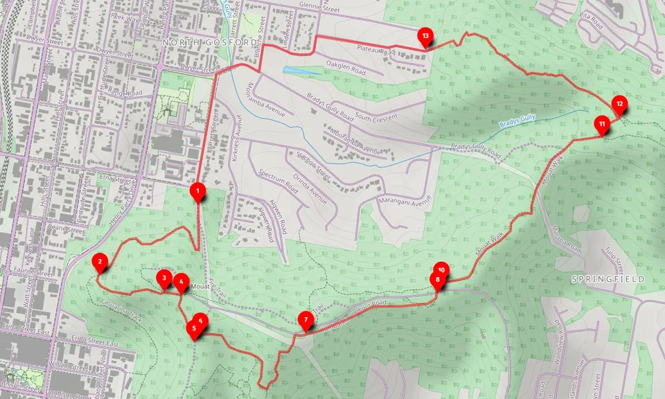
Rumbalara - Plateau Road Ridgeline Loop (6km)
A 6km loop featuring the Rumbalara Ridgeline with notable rock formations and rainforest sections on the Central Coast.
At a glance
- Distance
- 6km circuit
- Ascent
- 180m
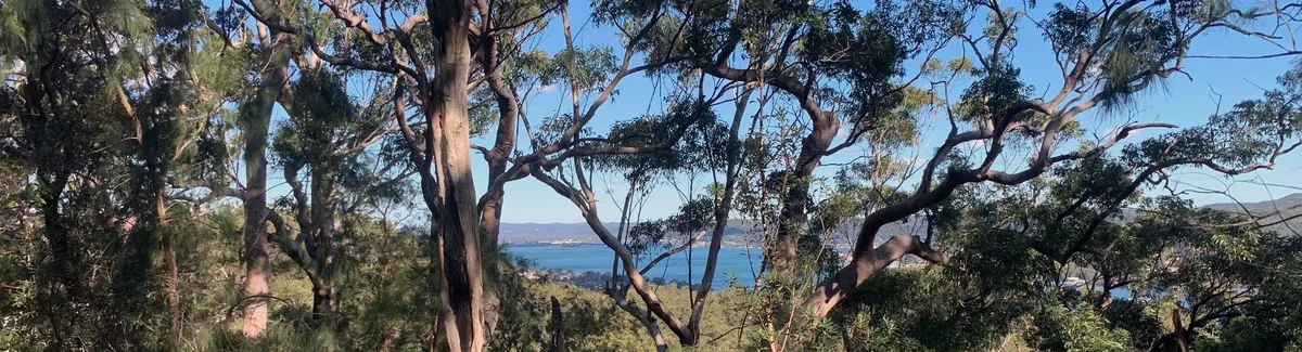
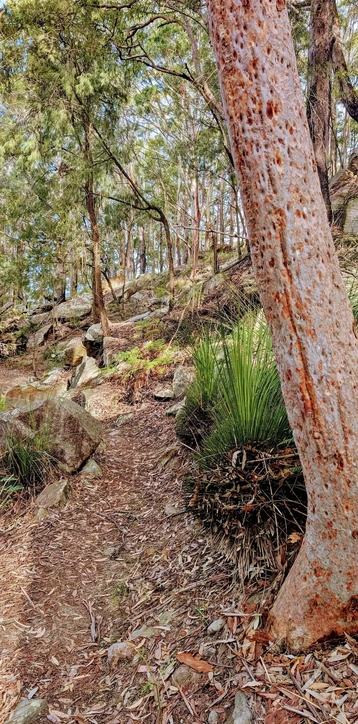
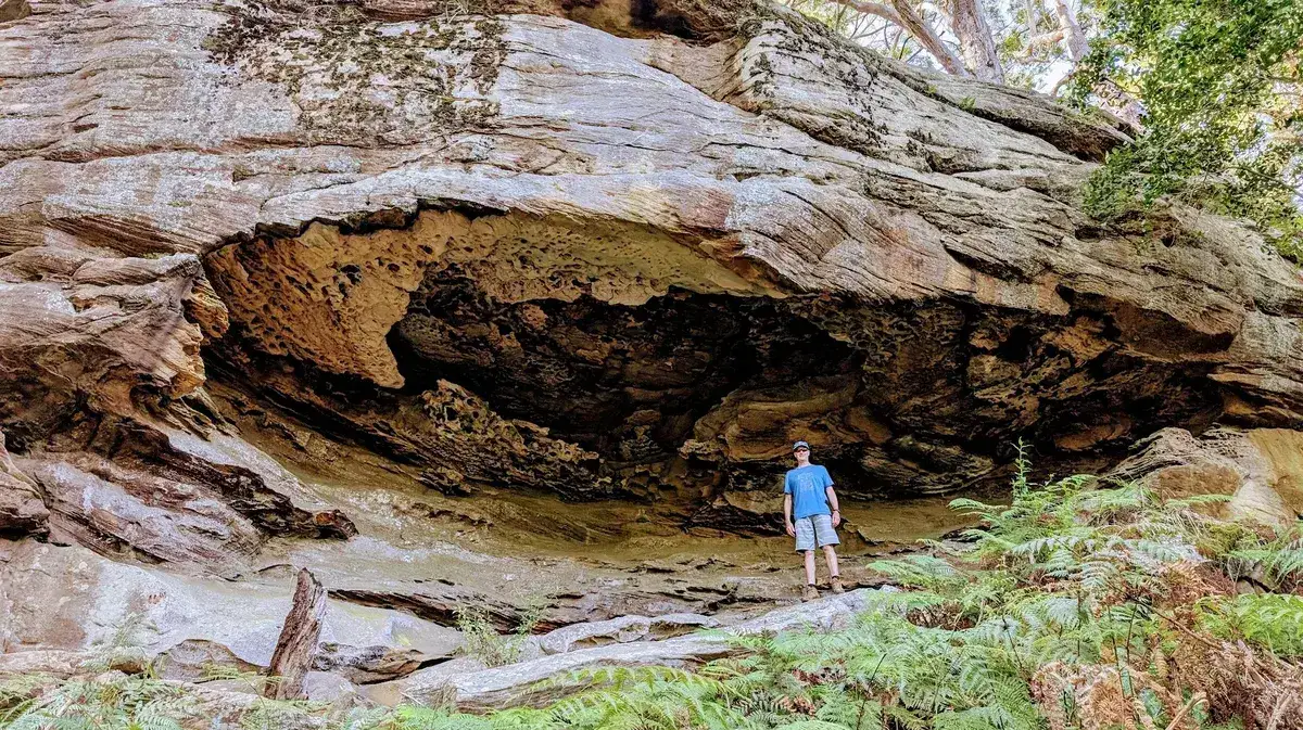
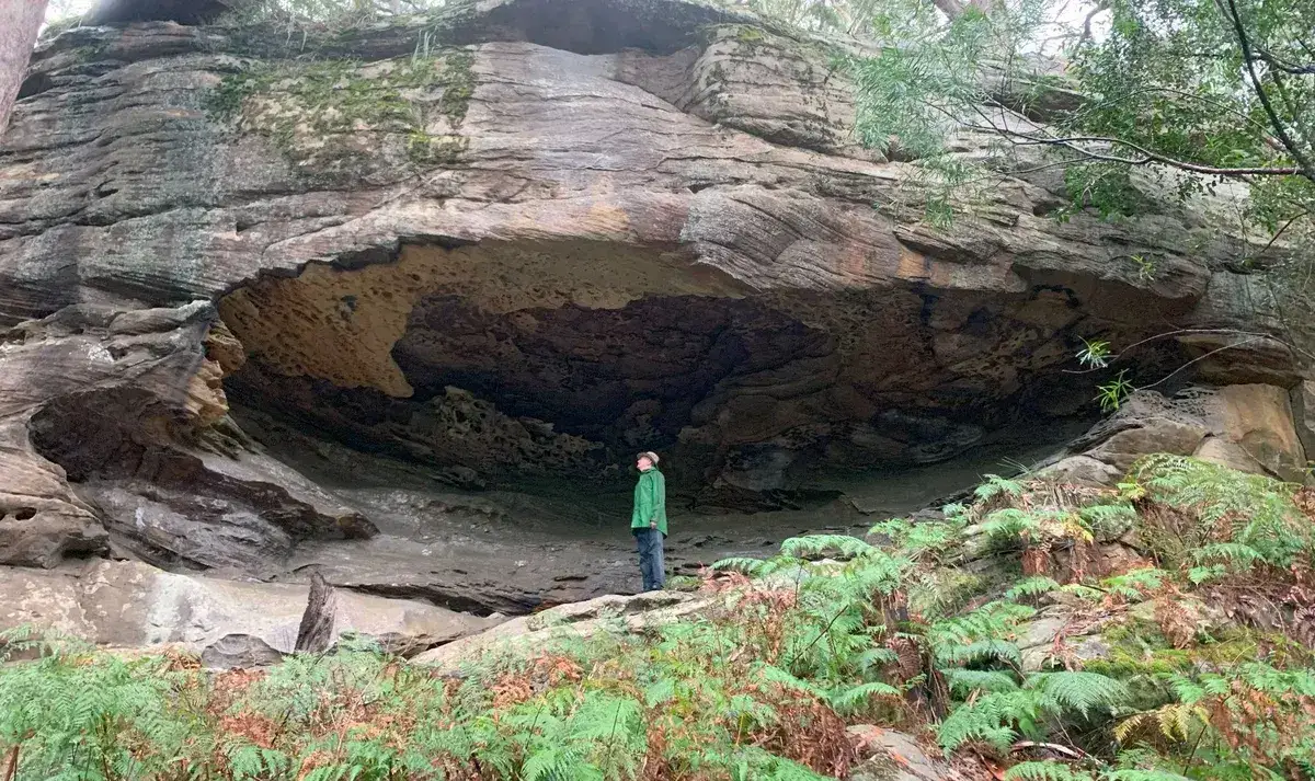
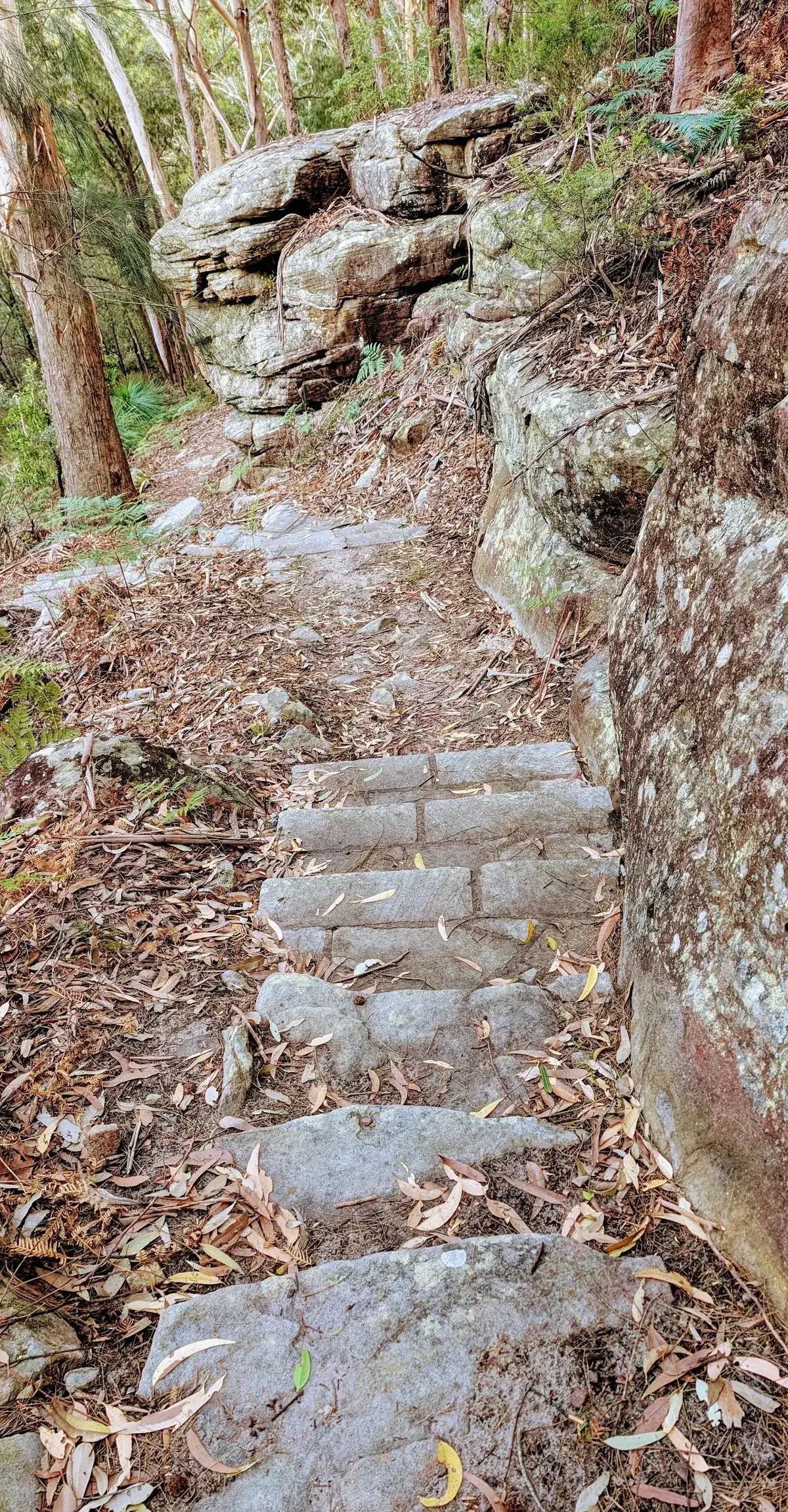
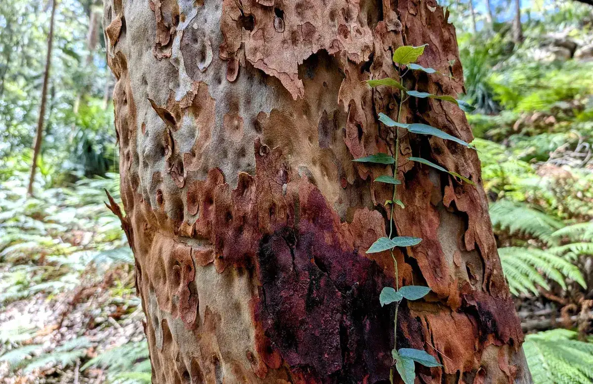
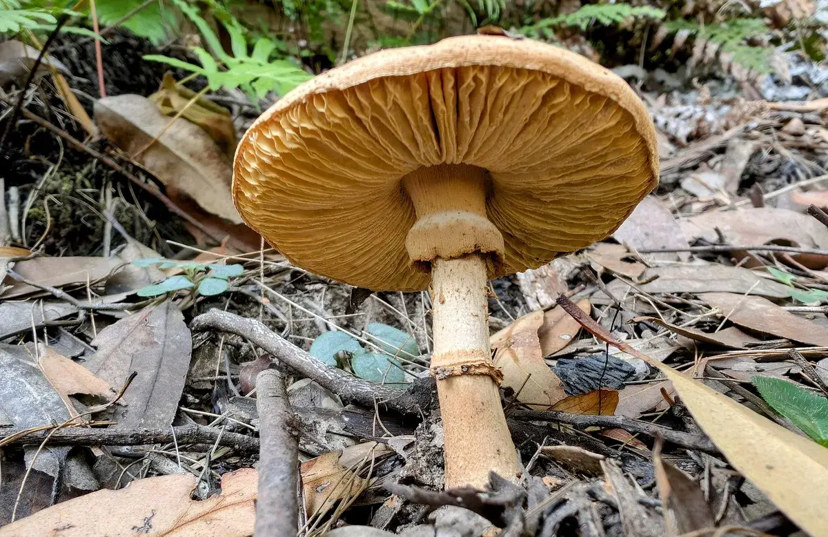
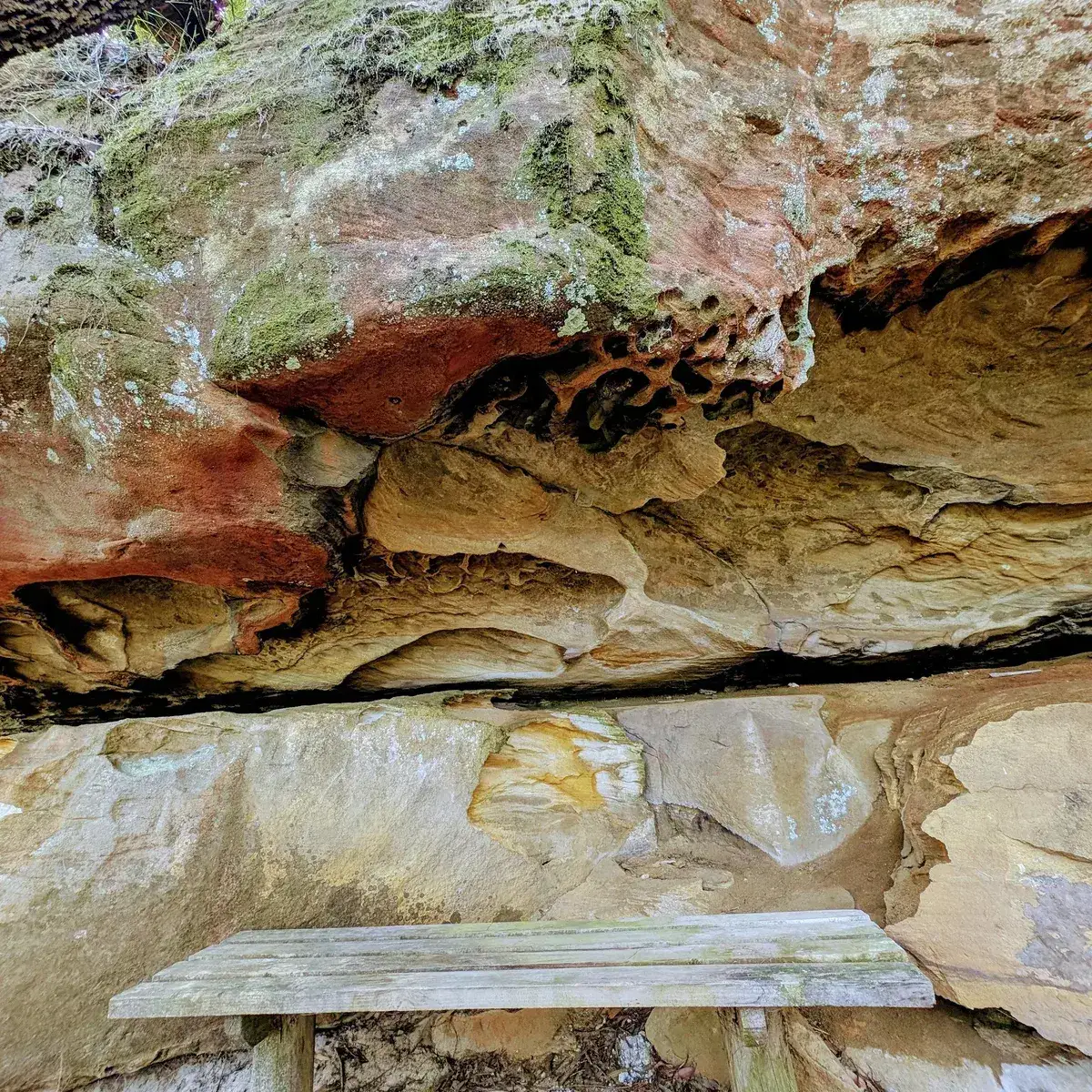
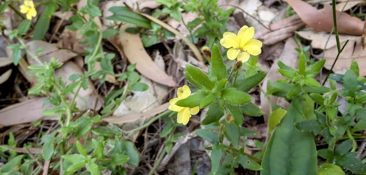
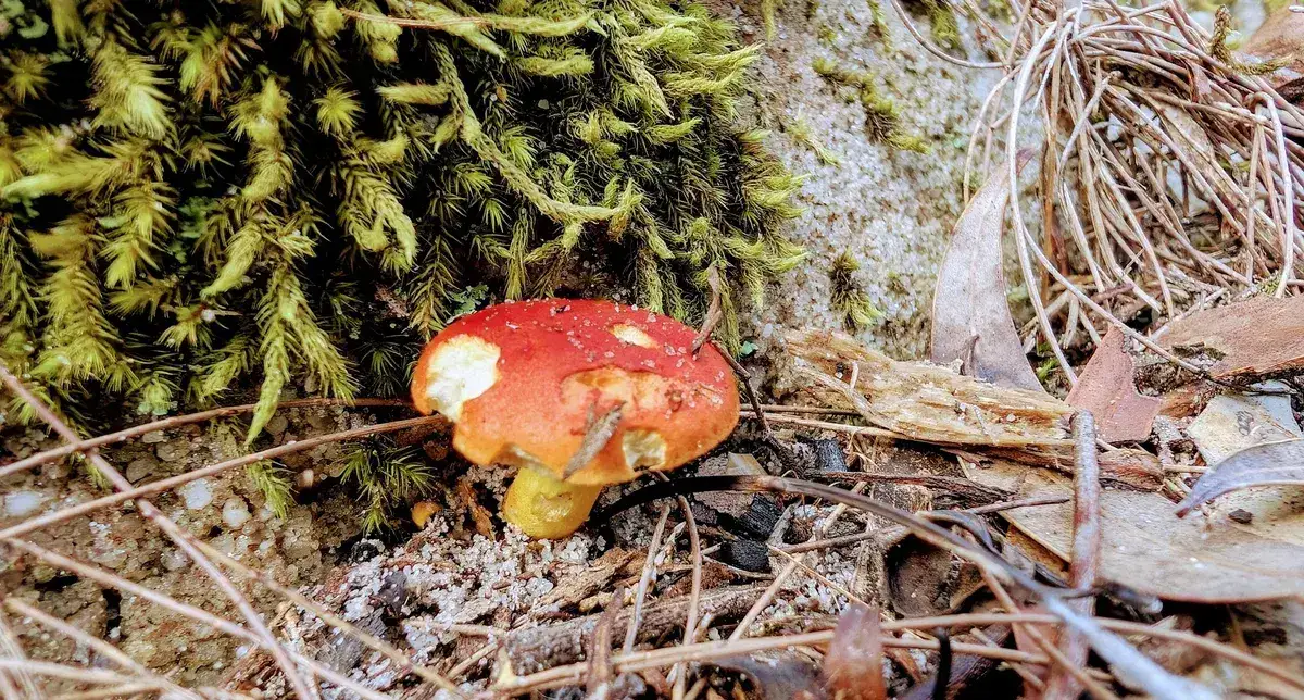
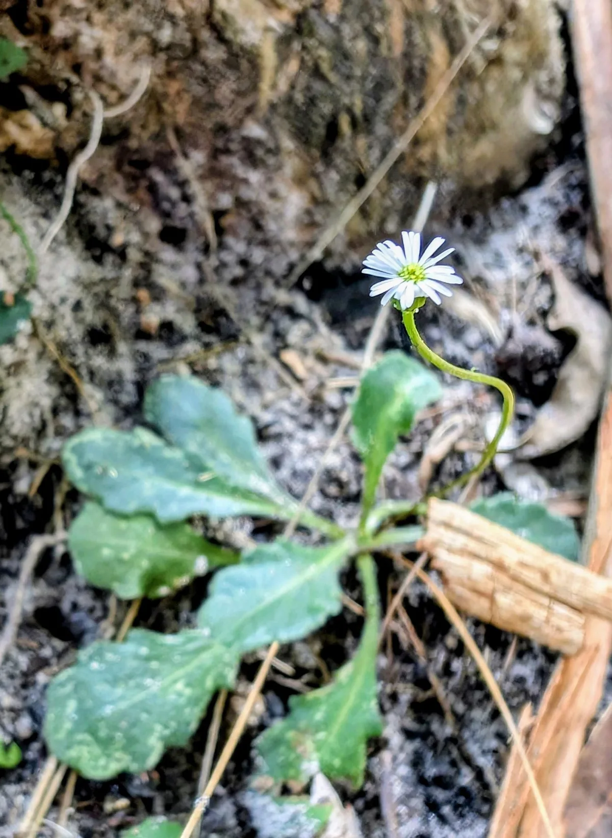
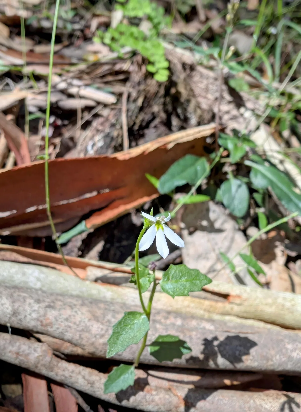
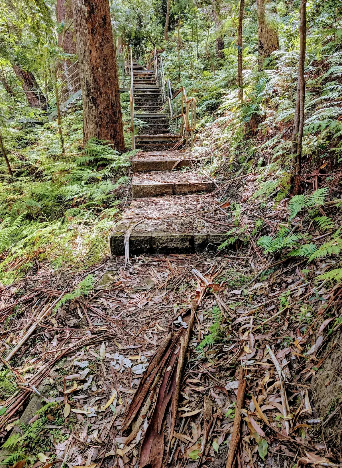
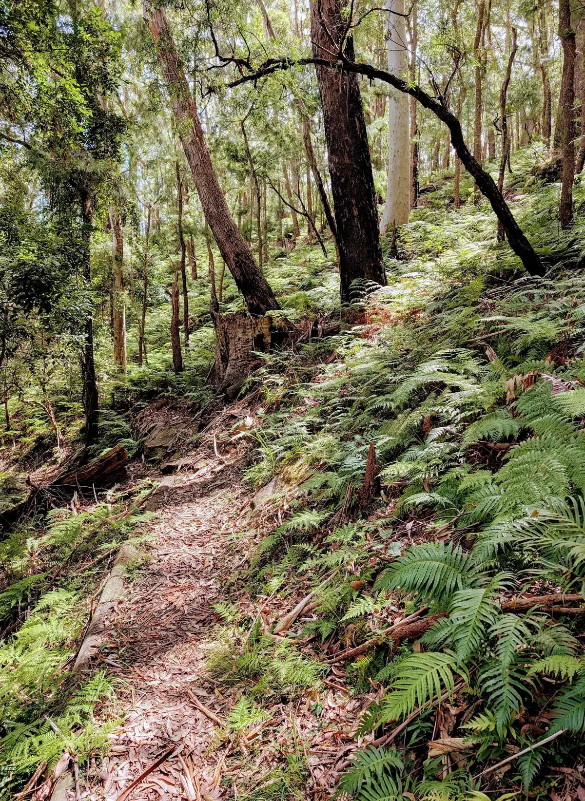
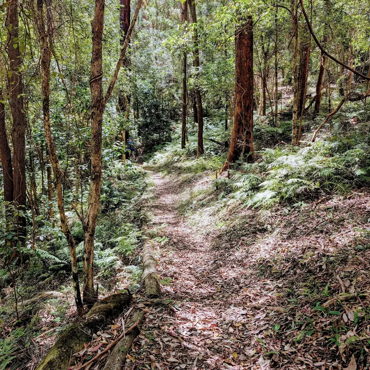
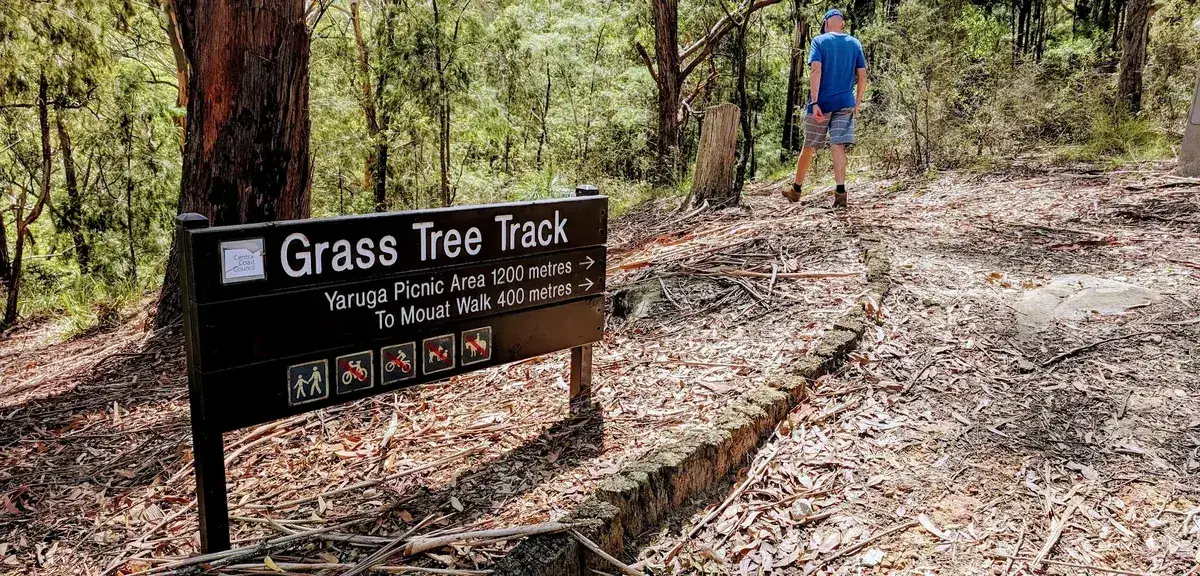
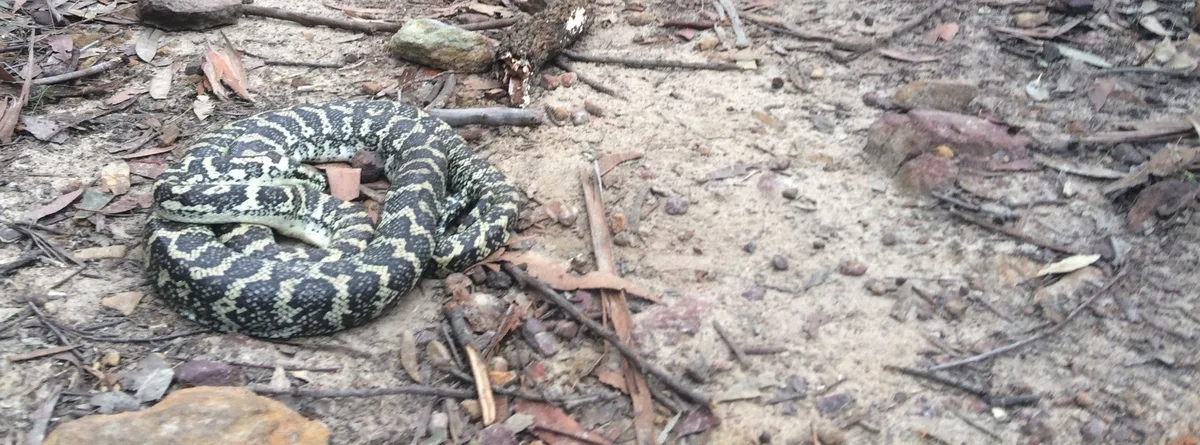
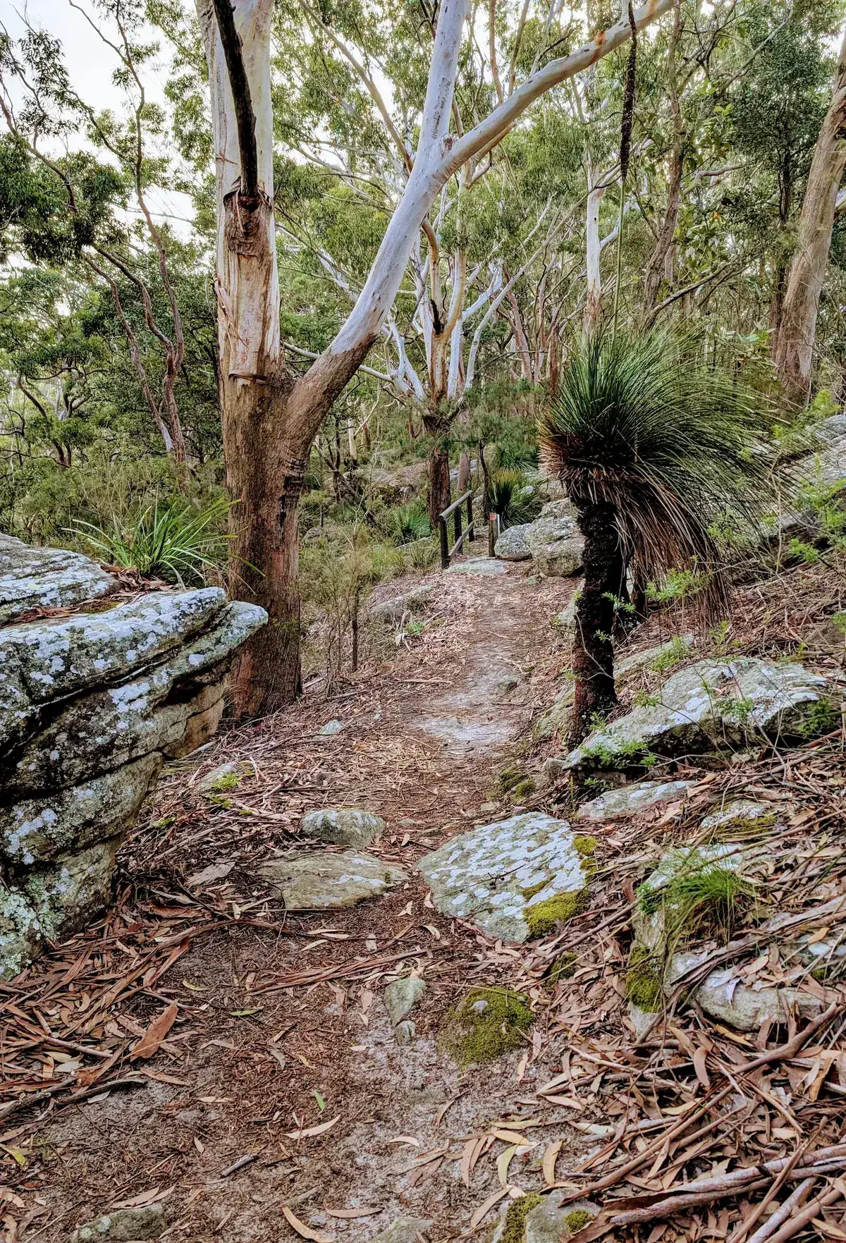
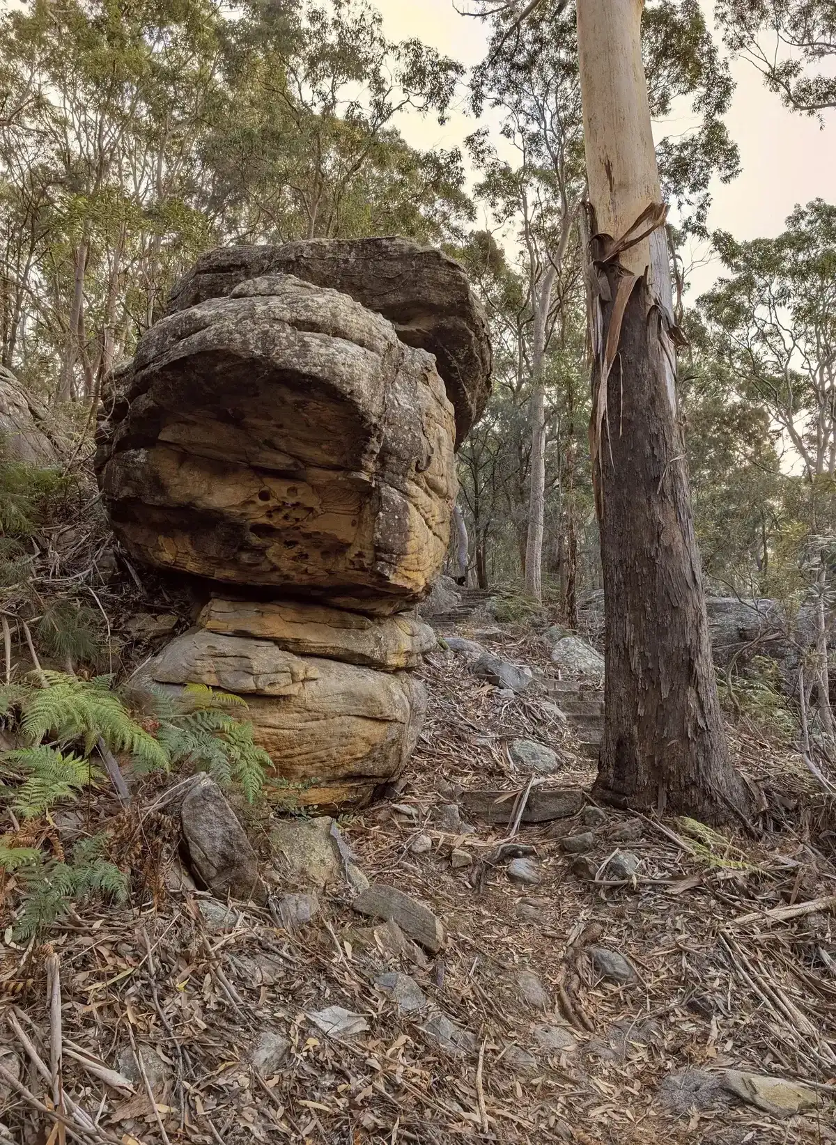
This is a lovely walk designed to capture the beauty of Rumbalara Ridgeline and explore some of its amazing rock outcrops and rainforest areas. This can be done as a car shuffle from Plateau Road to Jarrett Street. If the weather is very prone to leeches or mosquitoes then you can skip the beautiful rainforest track on the south and cut back across the road at the top.
Walk directions
- Start at the end of Jarrett Street: -33.42073560540555, 151.35053269845093 Google Maps Link
- Turn left up the steps: -33.423150, 151.346535 Google Maps Link
- Turn right: -33.424008, 151.350190 Google Maps Link
- Turn right again to stay on the Flannel Flower Track: -33.423991242100215, 151.35081680974812 Google Maps Link
- Turn Left to stay on the Flannel Flower Track: -33.425411, 151.350473 Google Maps Link
- Turn right again to stay on the Flannel Flower Track: -33.425156, 151.350719 Google Maps Link
- Turn Left up the hill: -33.42704495578741, 151.3534498214722 Google Maps Link
- Cross over the road and walk along it until you come to the path: -33.424869068346304, 151.35556340217593 Google Maps Link
- Veer right to stay on the path: -33.42334681014067, 151.3560140132904 Google Maps Link
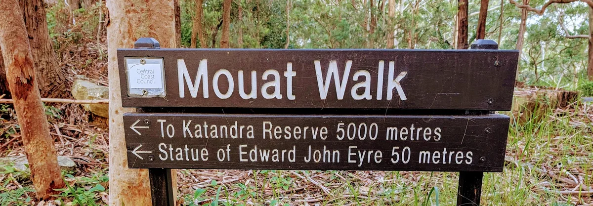
- Veer left to stay on the Mouat walk: -33.423387, 151.360762 Google Maps Link
- Turn left: -33.418296, 151.367456 Google Maps Link
- Turn left onto the ridgeline to Plateau Road: -33.417593, 151.368197 Google Maps Link
- Turn right onto the firetrail, continue on until you get to step 2, then turn right down the hill, back to the start point: -33.41525905492398, 151.36032324495332 Google Maps Link

Get Started
Thinking about a
project?
Good Architect only takes a limited number of projects a year to keep the quality high.