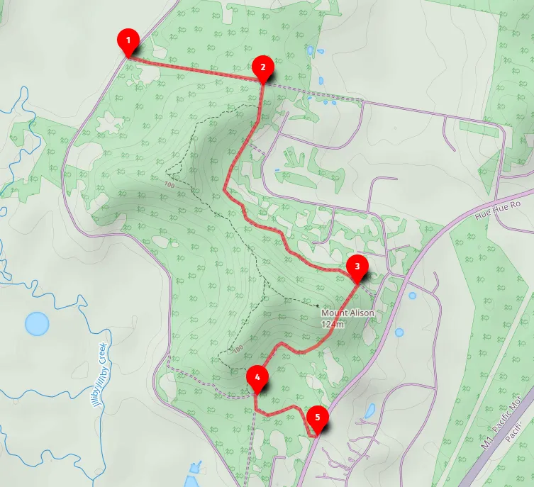
Open this walk on the interactive map
Central Coast Bushwalk
Mt Alison Firetrail Dog Walk (8km return or 4km one way)
A beautiful 8km return dog walk along gently sloping firetrail through lush green bushland on Mt Alison.
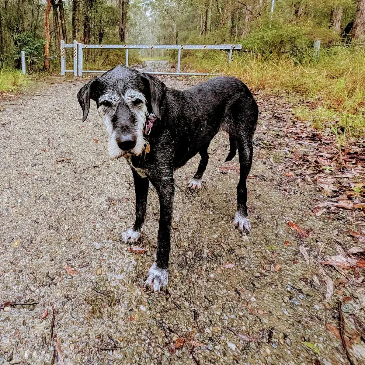
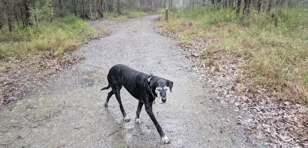
This is a beautiful walk, very lush and green, along gently sloping firetrail. If you would like to do it as a car shuffle, here is the the place on Hue Hue Road to leave a car: Google Maps Link. Note, dogs are only permitted on the Firetrails in Mt Allison.
Elevation change: Up 30m, Down 30m
Walk directions
- Start, Dicksons Road: -33.22039754388292, 151.38975620269778 Google Maps Link
- Turn right onto Parkridge Fire Trail: -33.22172589524017, 151.3978457450867 Google Maps Link
- Hooray, you have reached The Top of Mt Alison, head back down the hill, turning left at the picnic area: -33.233123756785695, 151.40125751495364 Google Maps Link
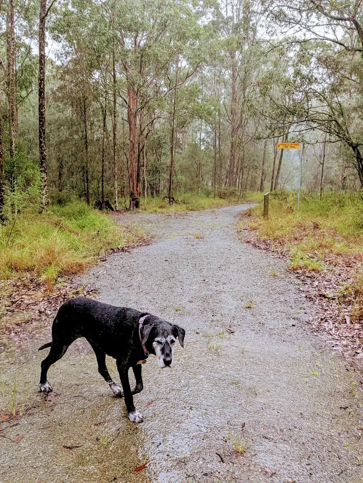
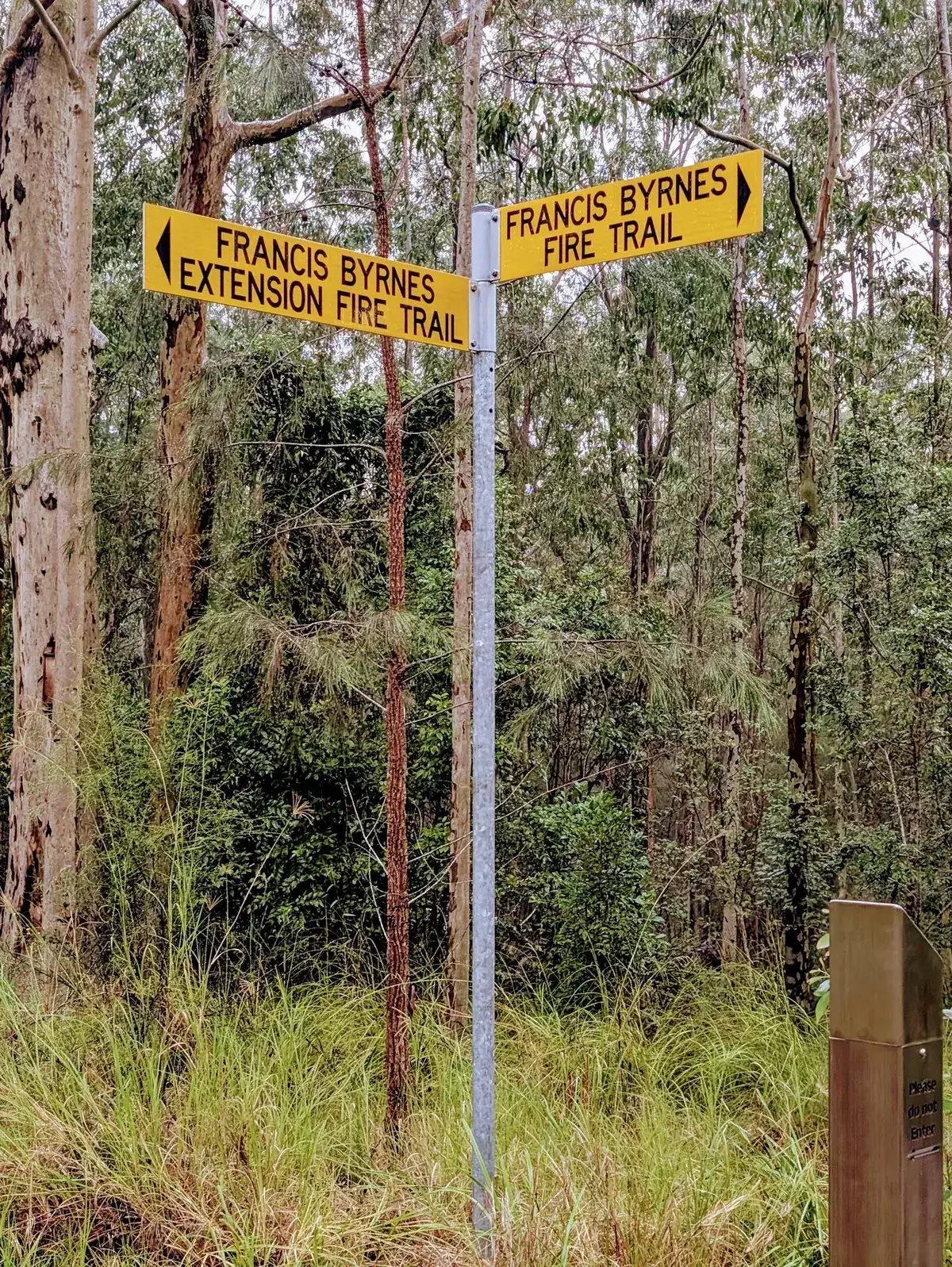
- Keep left on Francis Byrnes fire trail, keep left when it continues to Hue Hue Rd: -33.23758377539121, 151.39765262603763 Google Maps Link
- You've reached Hue Hue Rd: -33.23962974402257, 151.40130043029788 Google Maps Link
Get Started
Thinking about a
project?
Good Architect only takes a limited number of projects a year to keep the quality high.
Talk to Us