


What does Woy Woy mean?
Woy Woy is a local aboriginal word that means "The big lagoon", perhaps because of the large body of water that surrounds it.
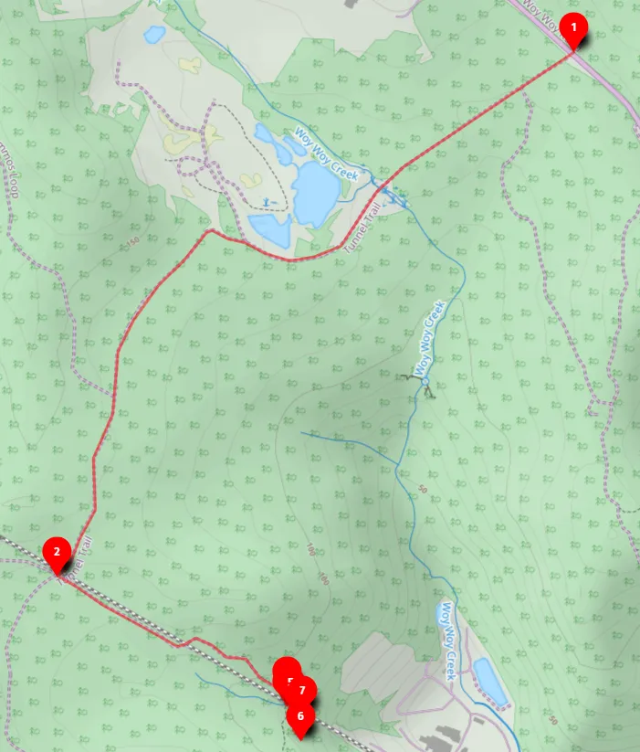
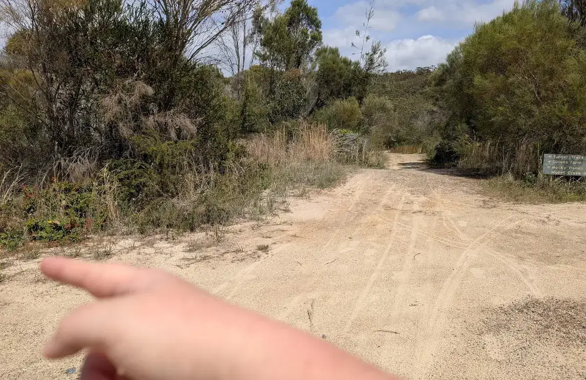
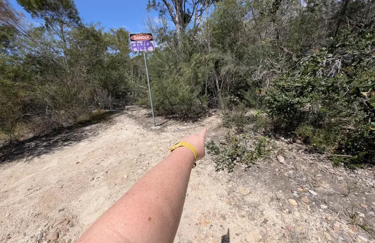
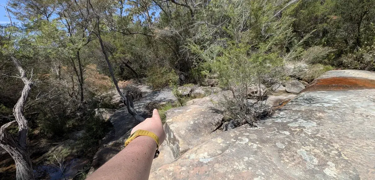
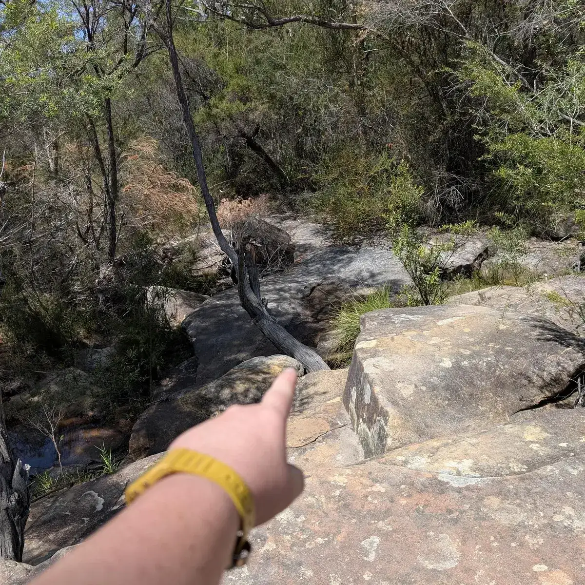
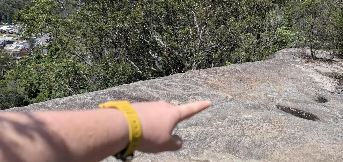
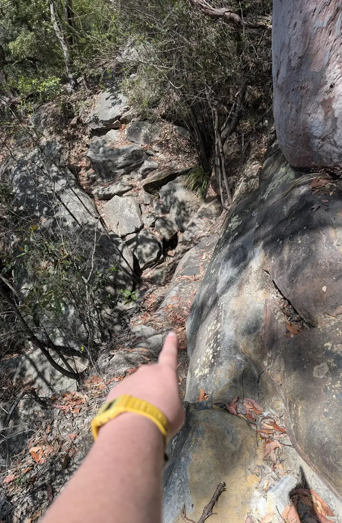
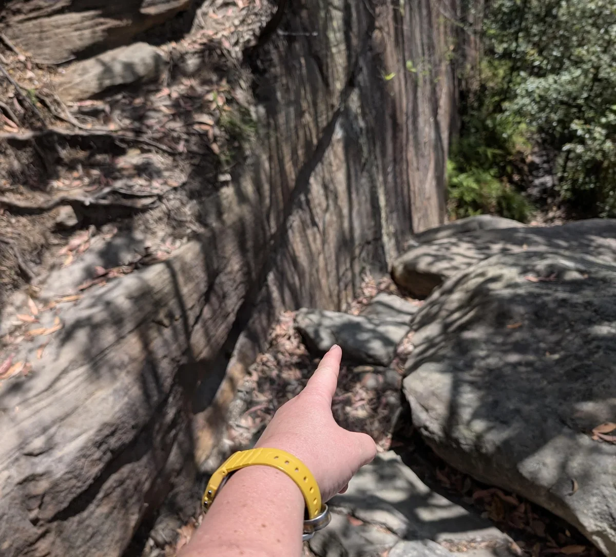
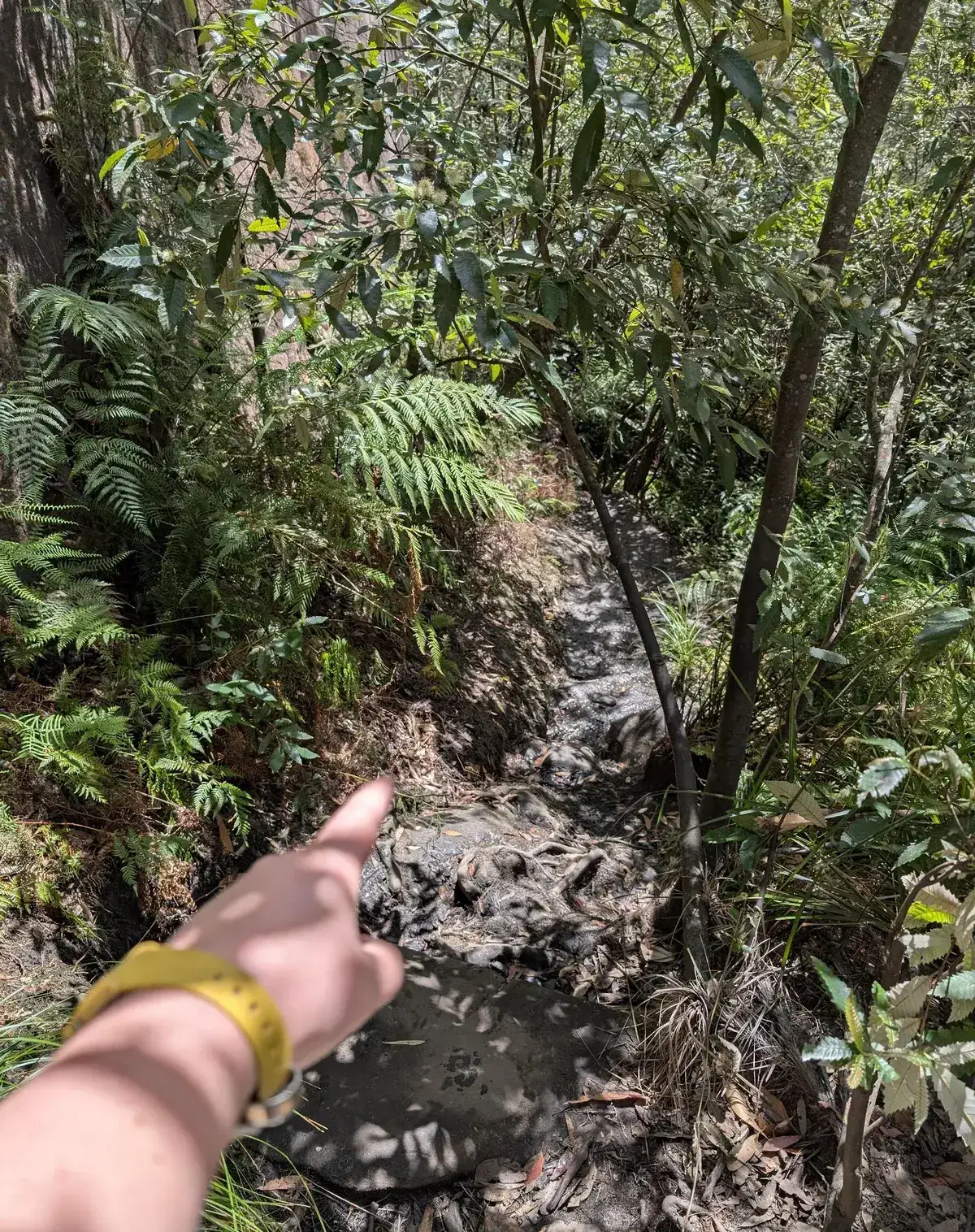
Hand Pointing directions:
2. Turn Left
3. Go Right to Follow the Track
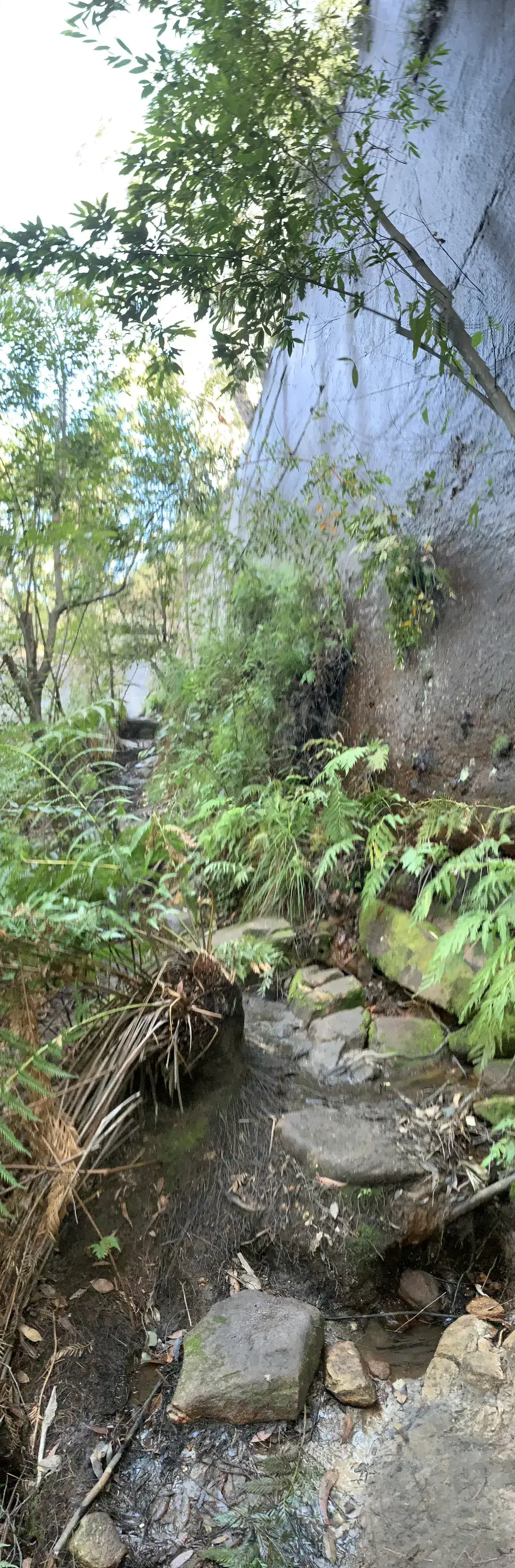
4. Head downstream
4. Head downstream
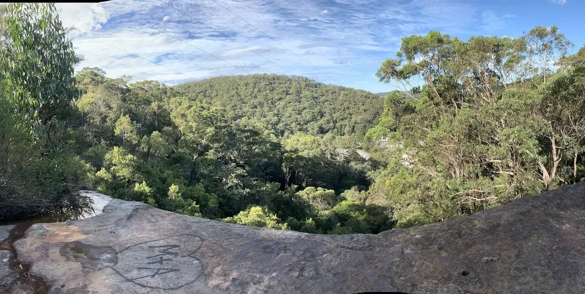
5. At the edge of the cliff go right
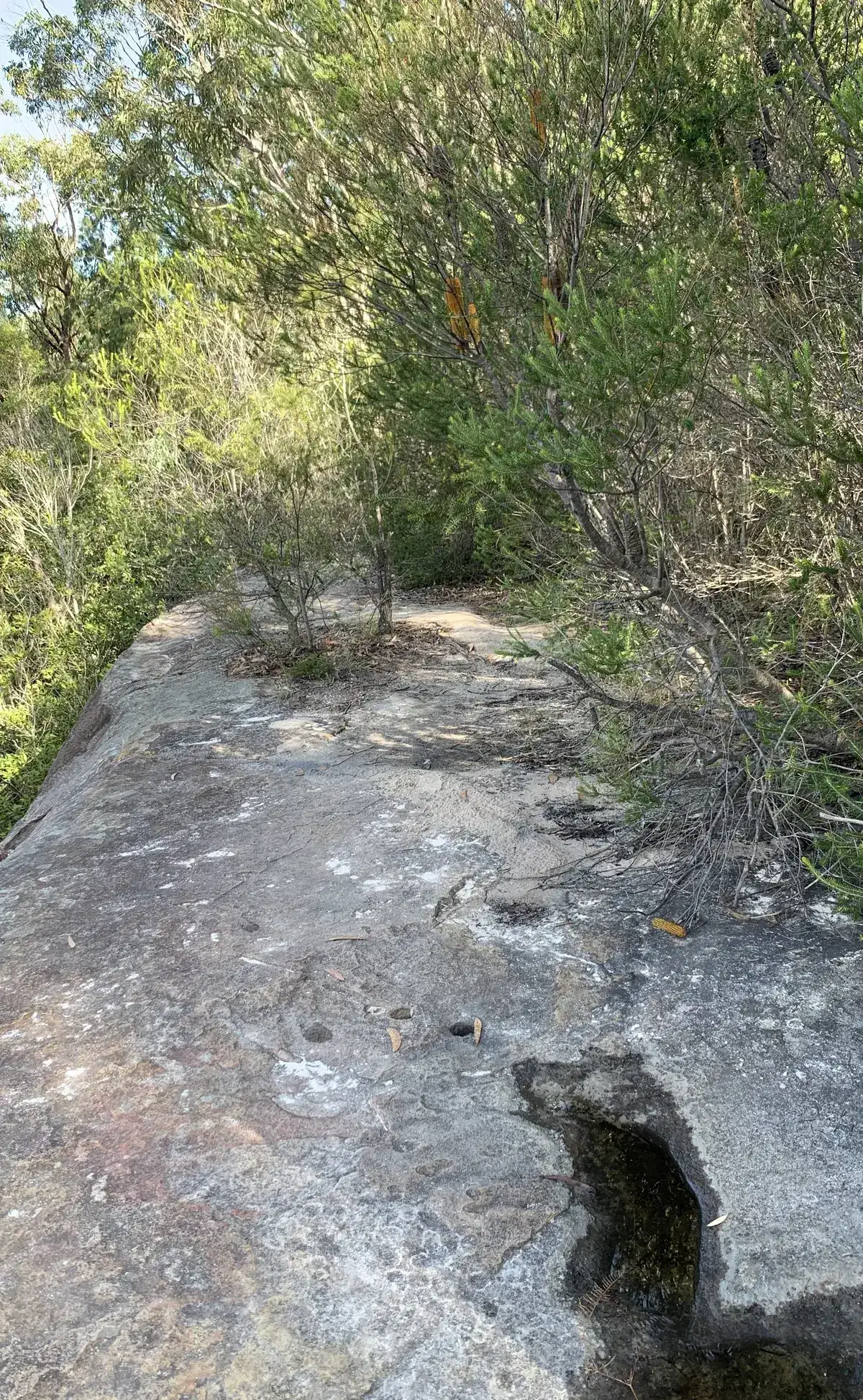
6. Head down the canyon
6. Head down the canyon
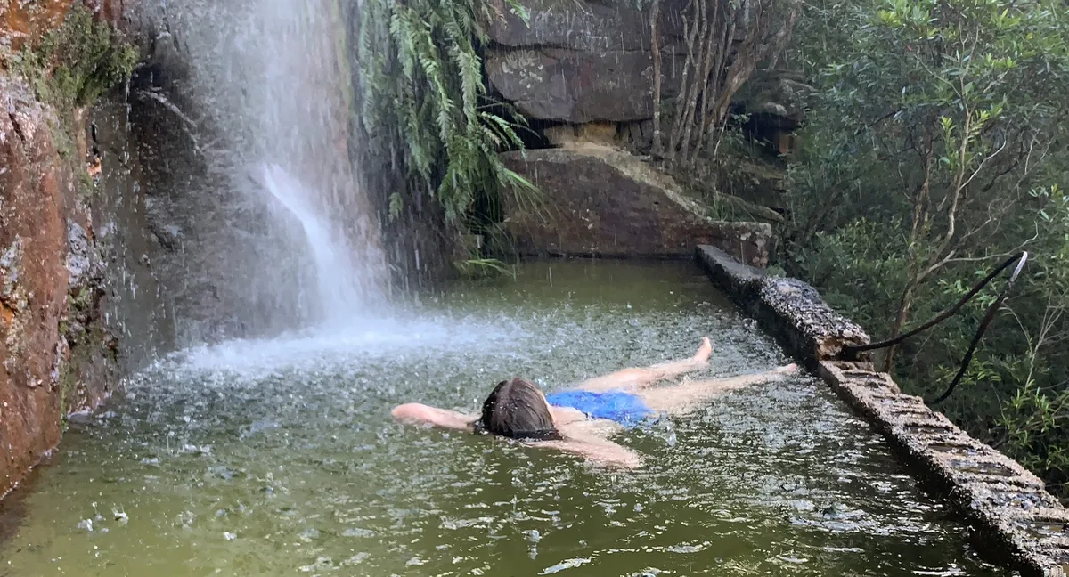
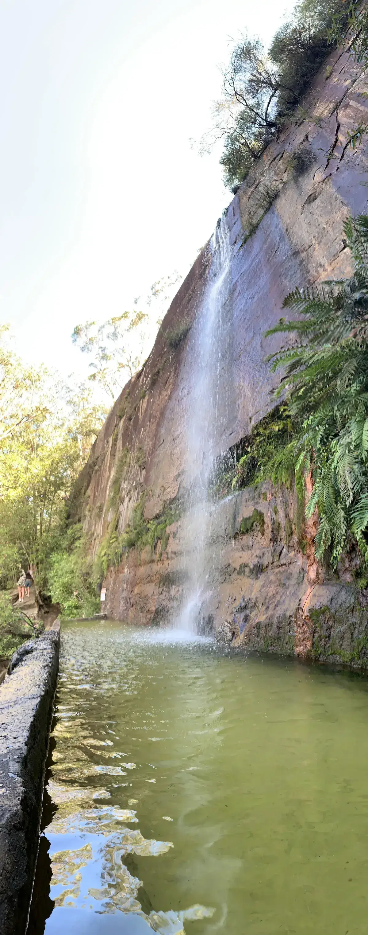
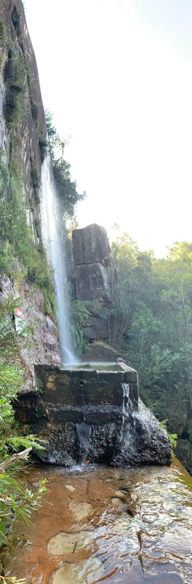
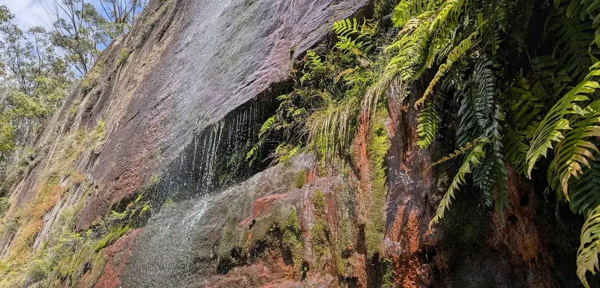
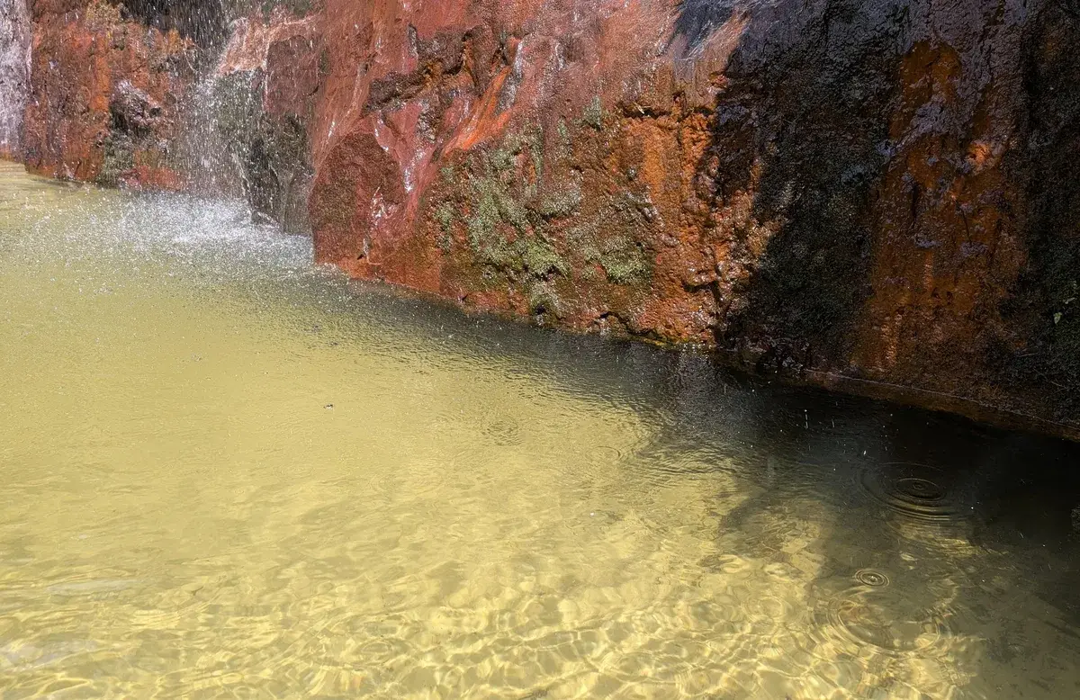
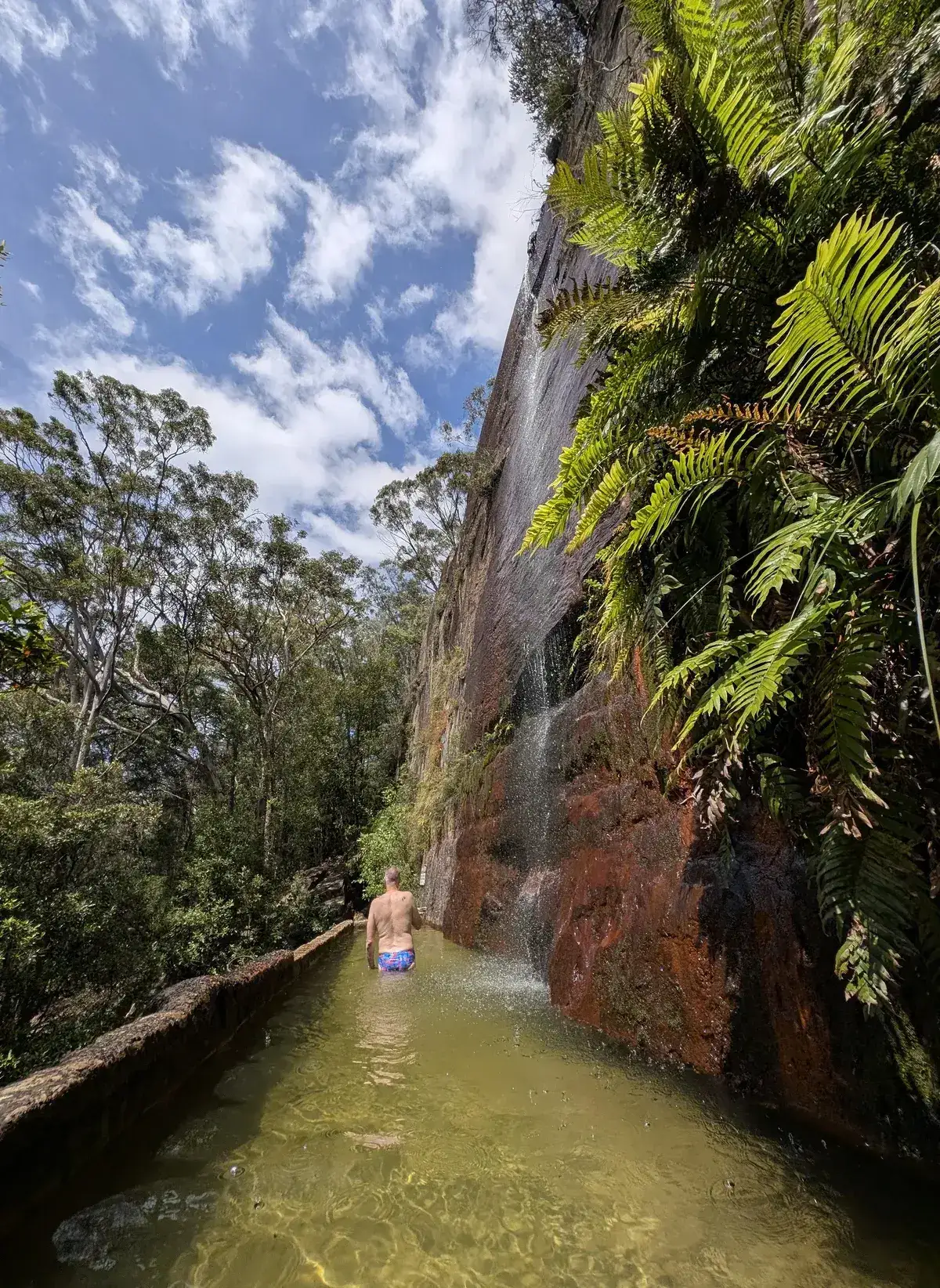
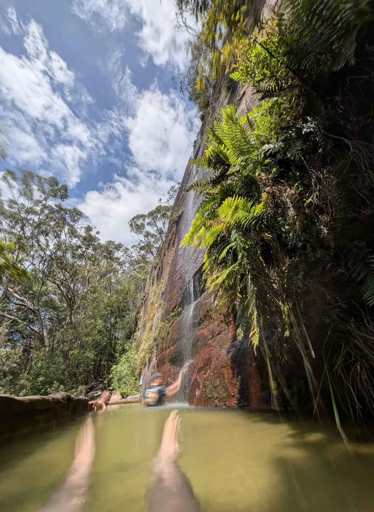
6. Walk Along the bottom of the cliff to the falls
5. Path to the right of the drop off