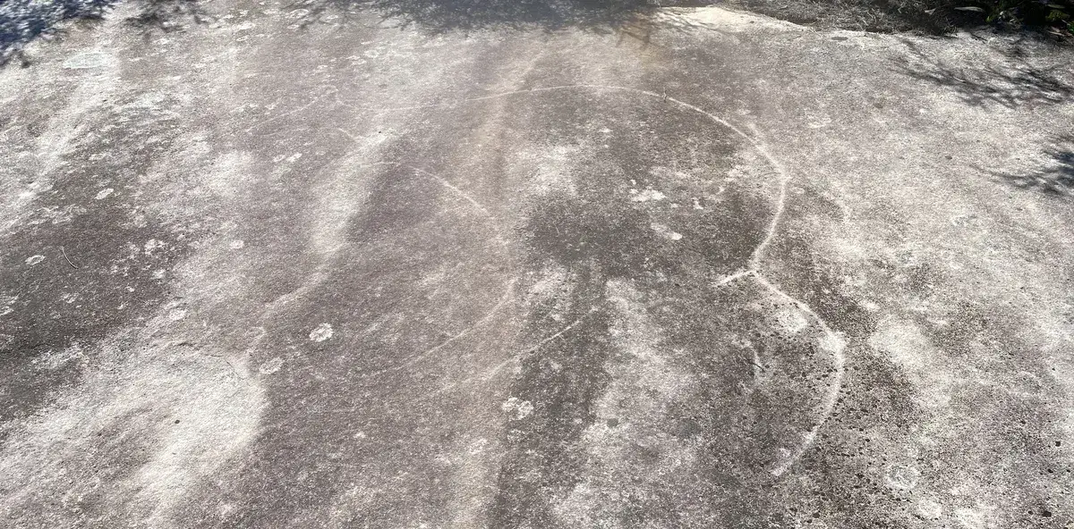
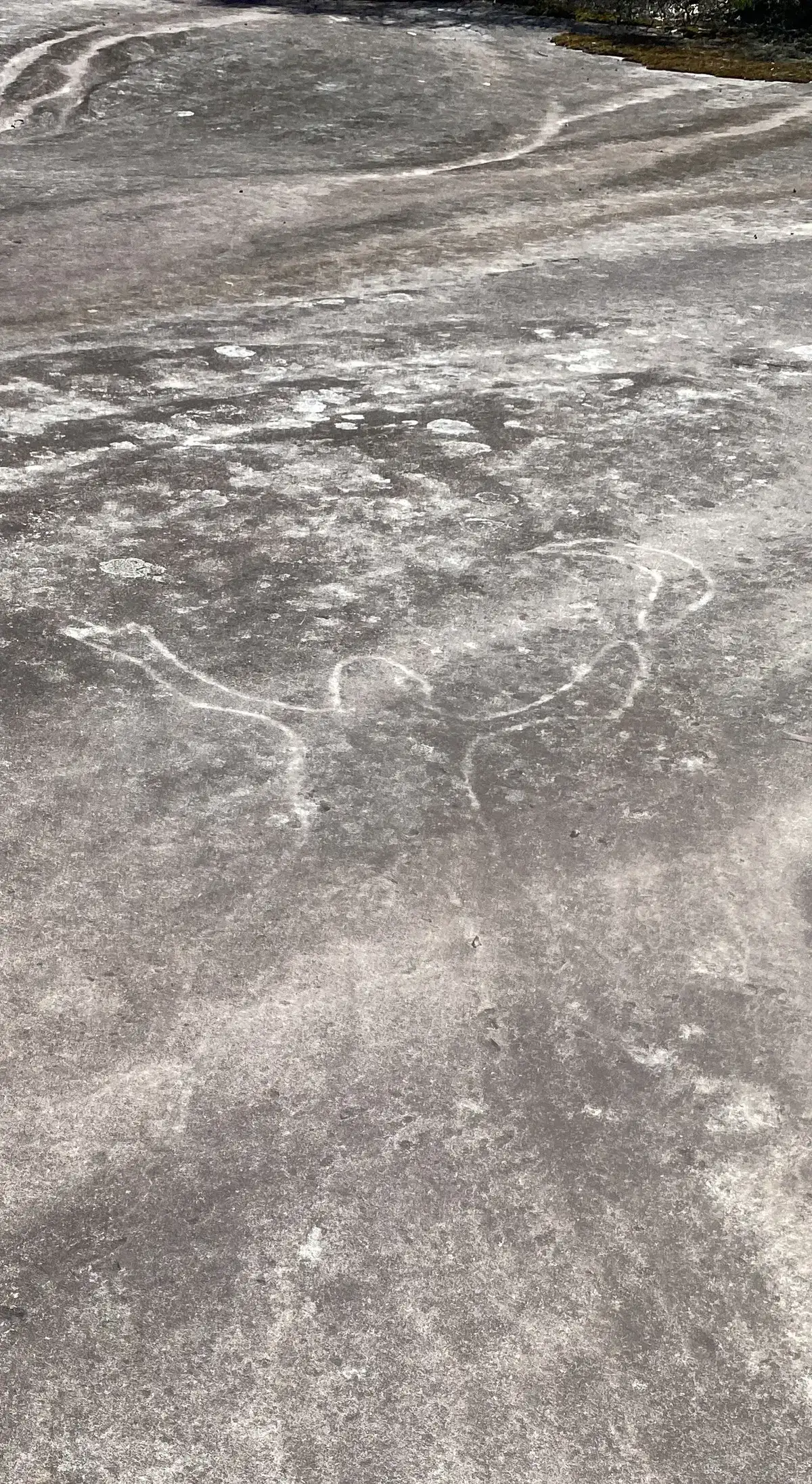
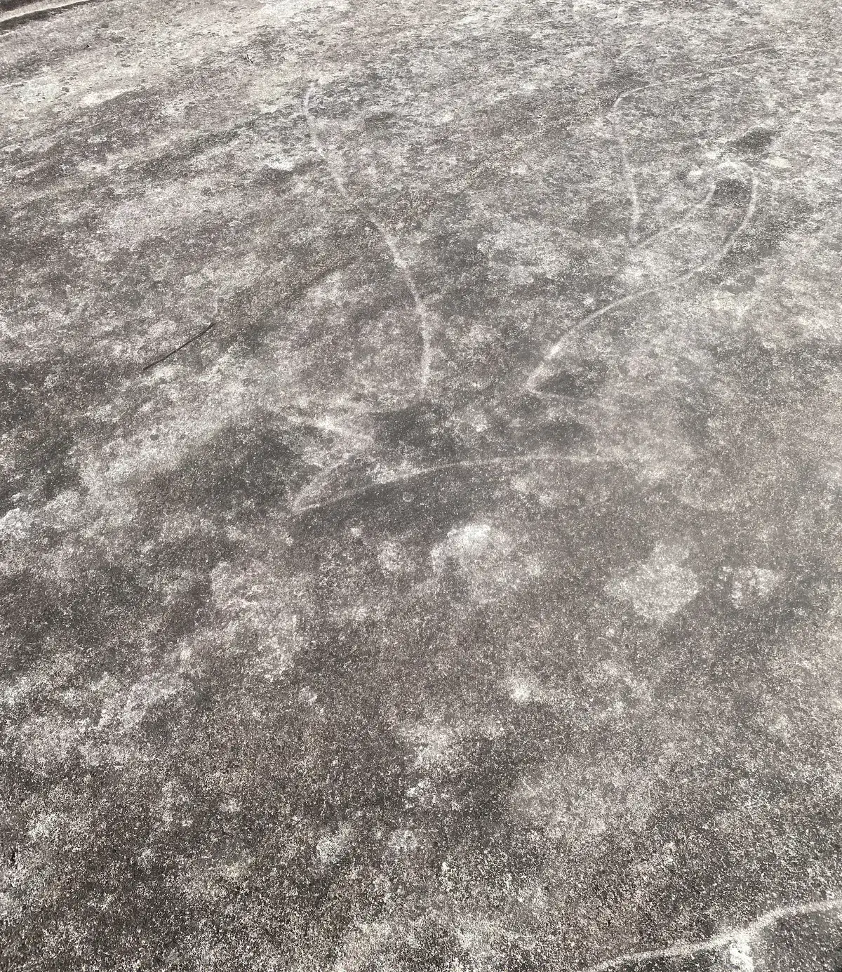
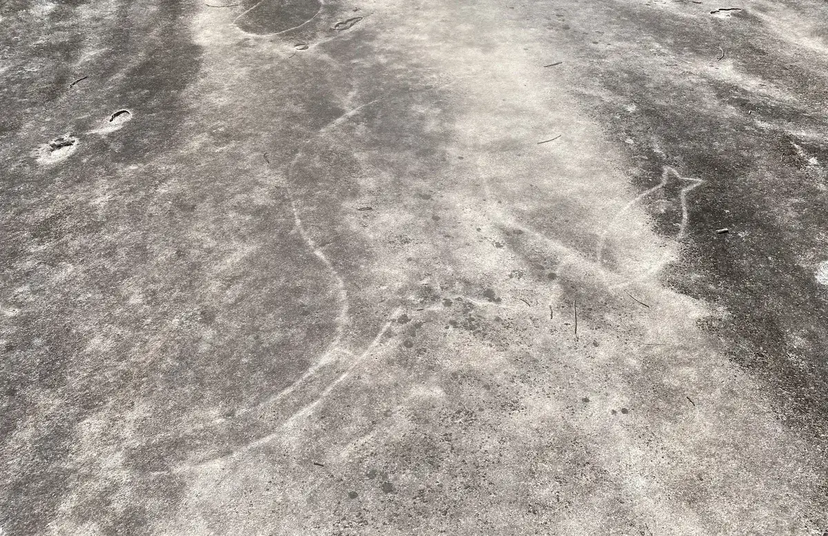
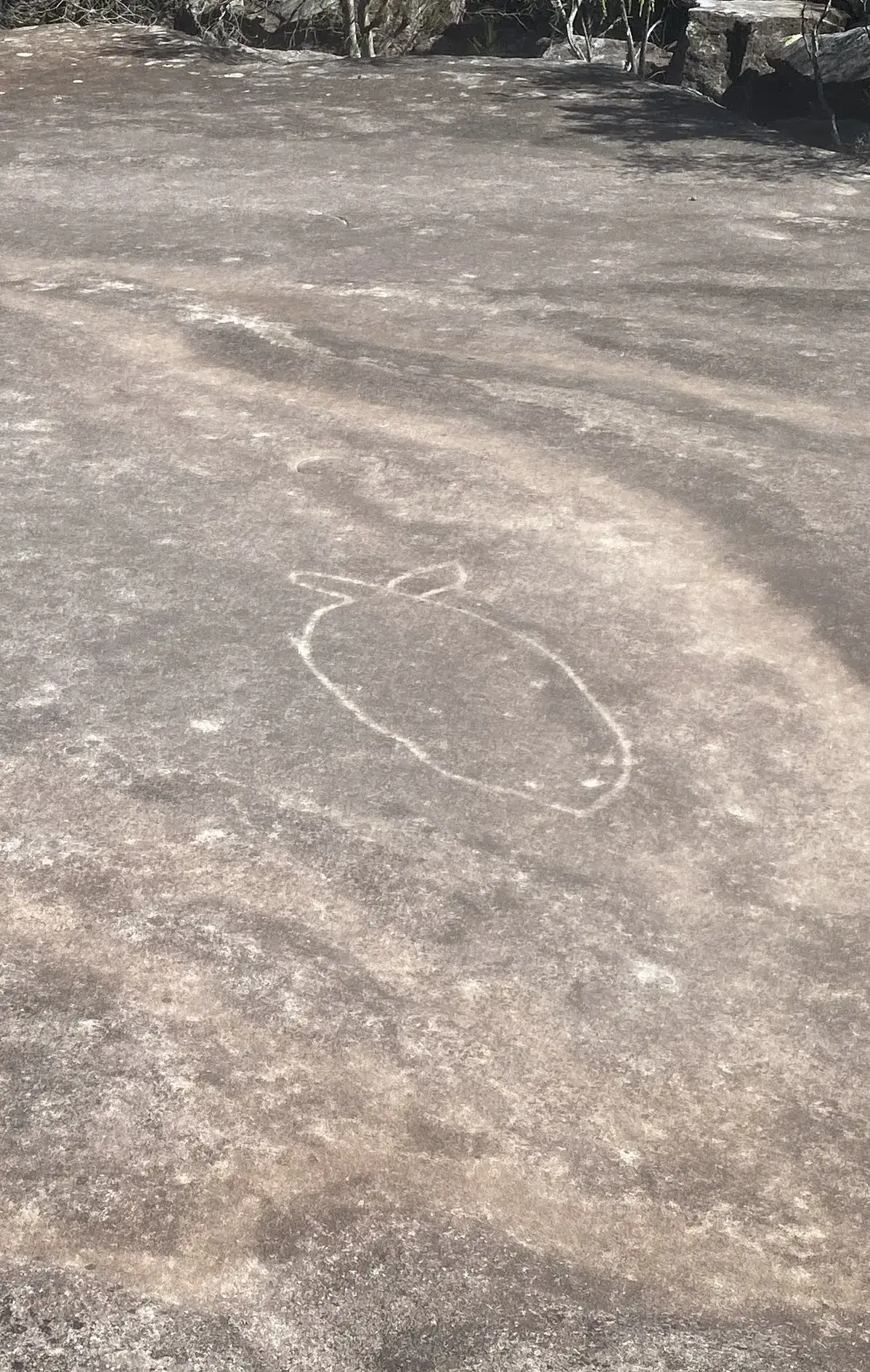
The Australian Museum has found that the art of the Darkinjung aborigines stretches all the way from the Central Coast to Wollemi National Park 90km to the west, this is a particularly beautiful example.
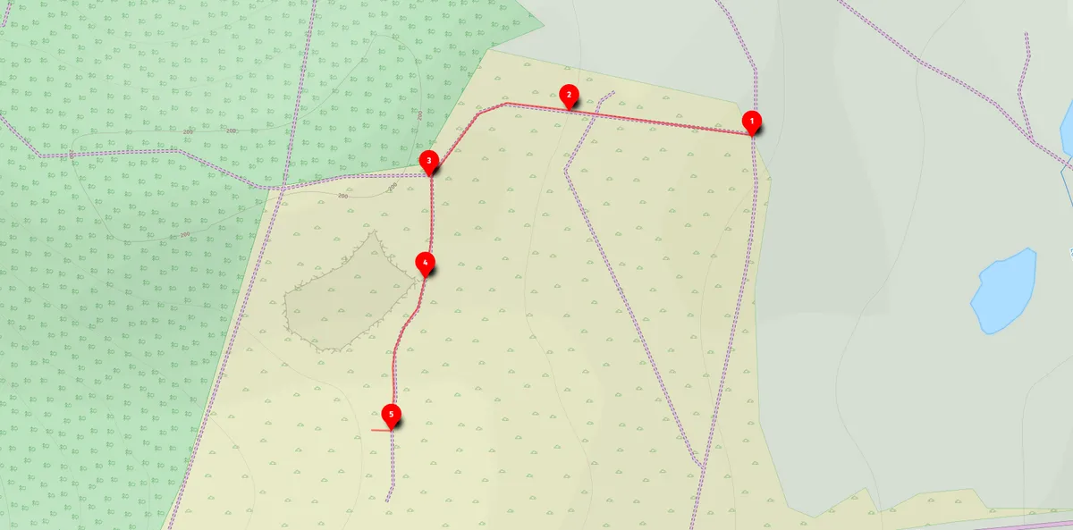
Open this walk on the interactive map
Central Coast Bushwalk
Somersby Aboriginal engravings (2km return)
A 2km return walk to Darkinjung Aboriginal rock engravings and an abandoned quarry, best visited at dusk.
Elevation change: Up 30m, Down 30m
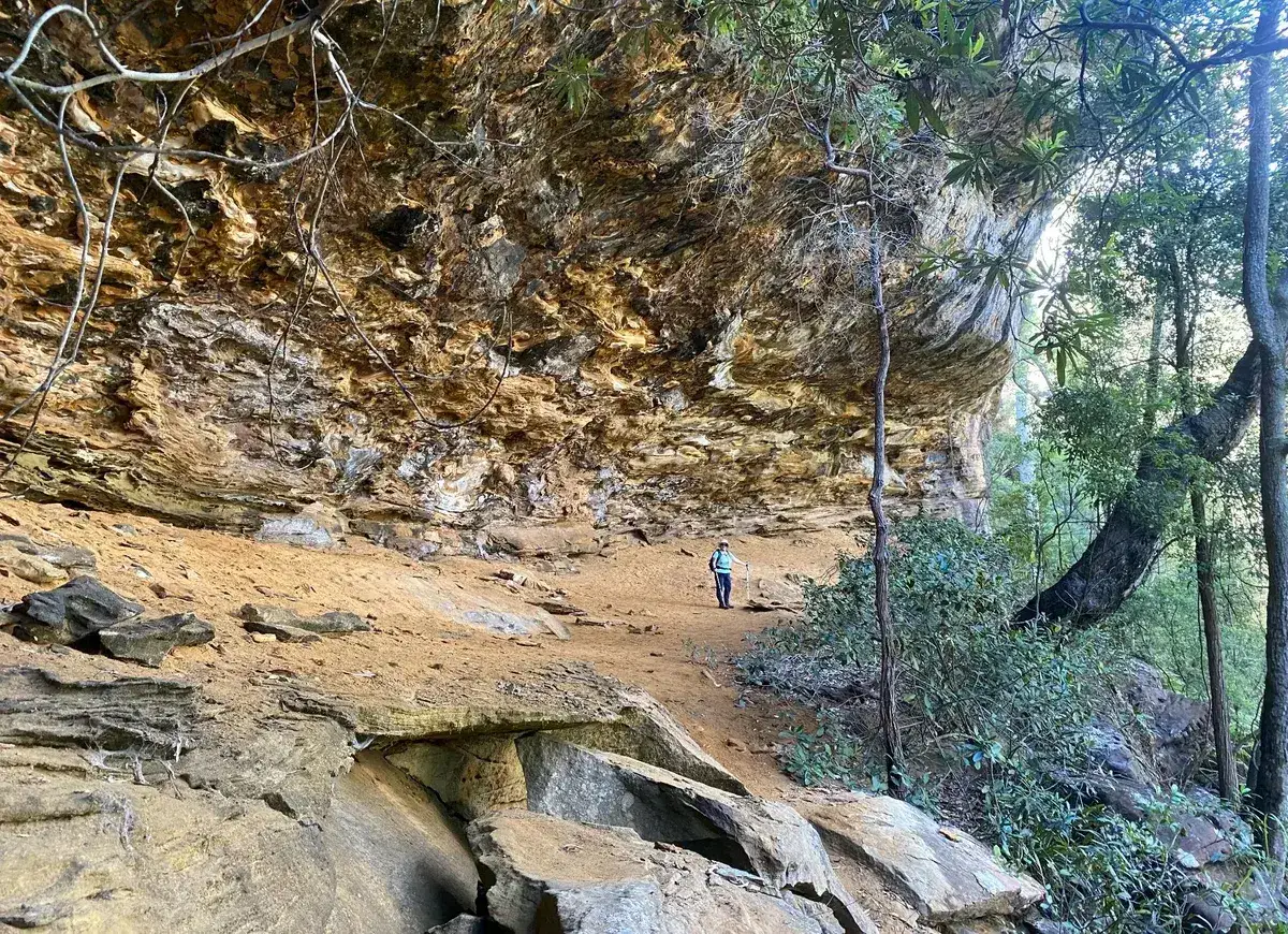
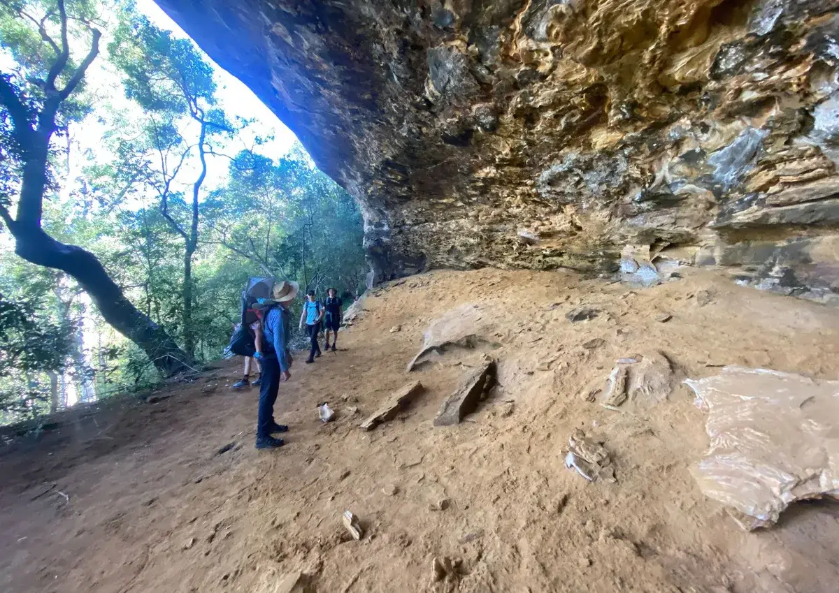
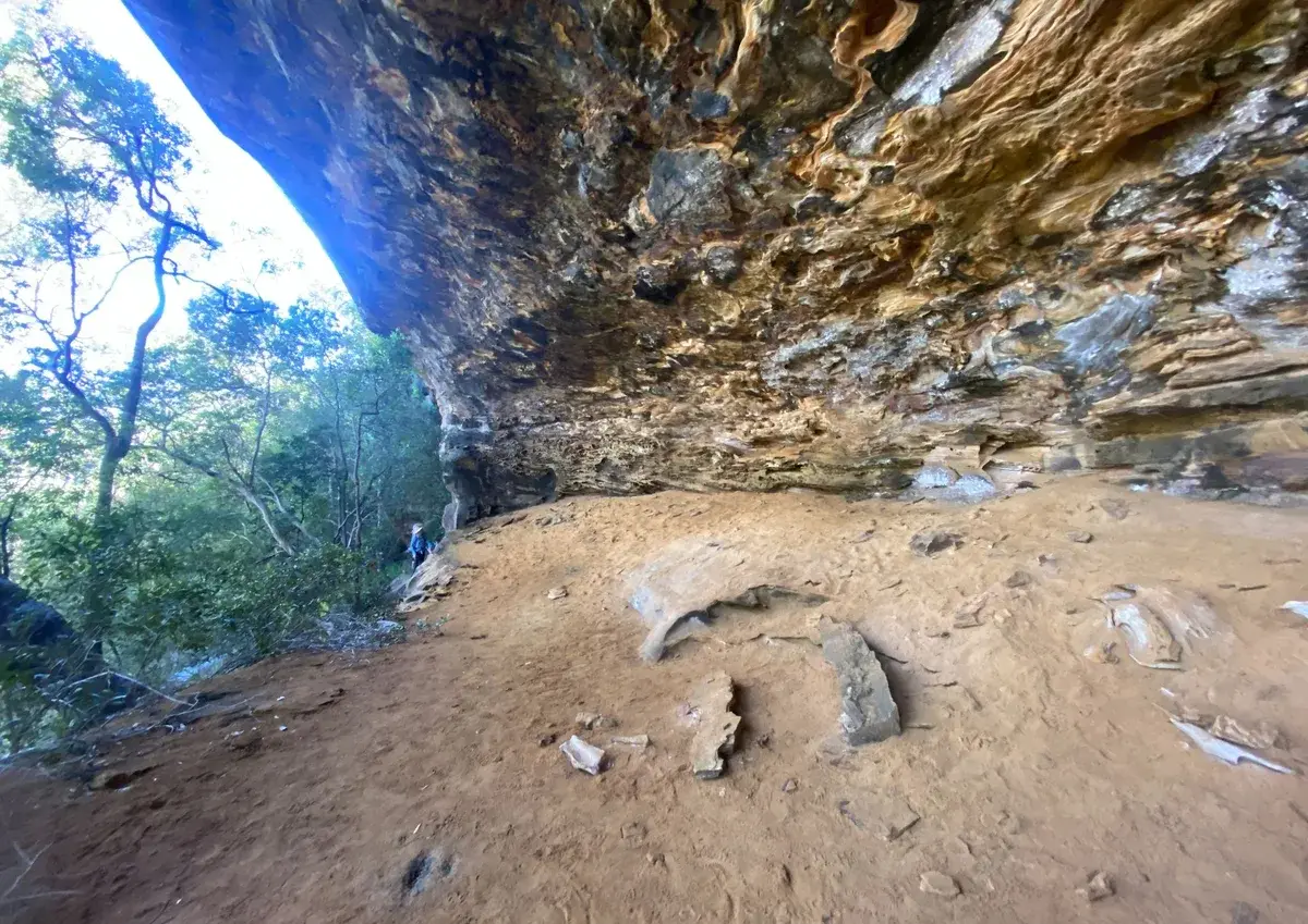
This is a beautiful walk with aboriginal engravings and an old quarry. It is a walk to do on a cooler day as the firetrails can get pretty hot. The engravings are at their best at dusk.
Walk directions
- Start, 1.2km past the reptile park at - this is a bit of a rough road in, if you have doubts about your cars 4WD capabilities, just park at the turnoff from the Old Pacific Highway and walk in, until you get the gate at this location, follow the path through the gate: -33.423330, 151.269771 Google Maps Link
- There is a fire trail to the left here, ignore it and continue straight ahead: -33.423179, 151.26868479 Google Maps Link
- Turn left here at this fire trail: -33.423673, 151.267040 Google Maps Link
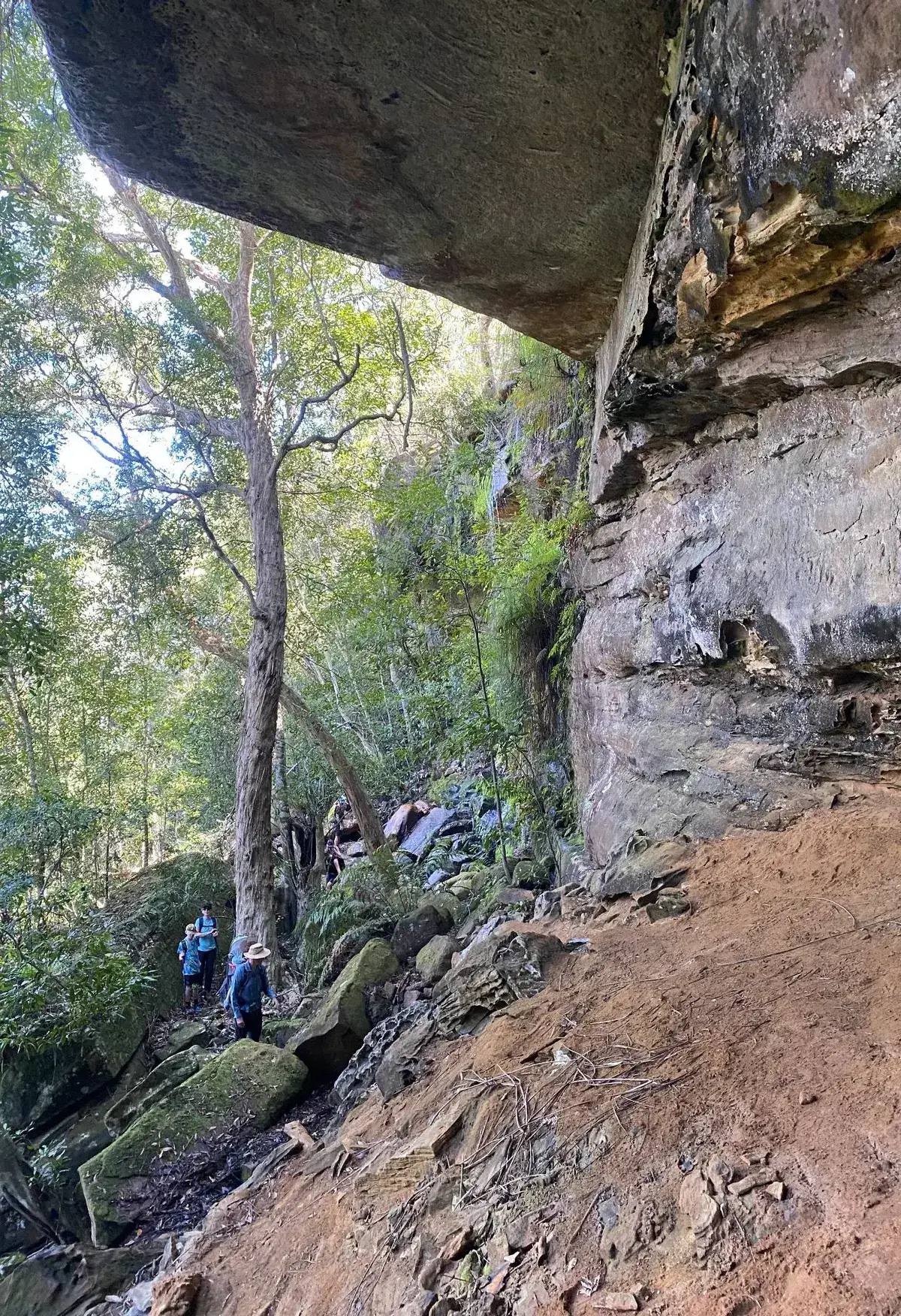
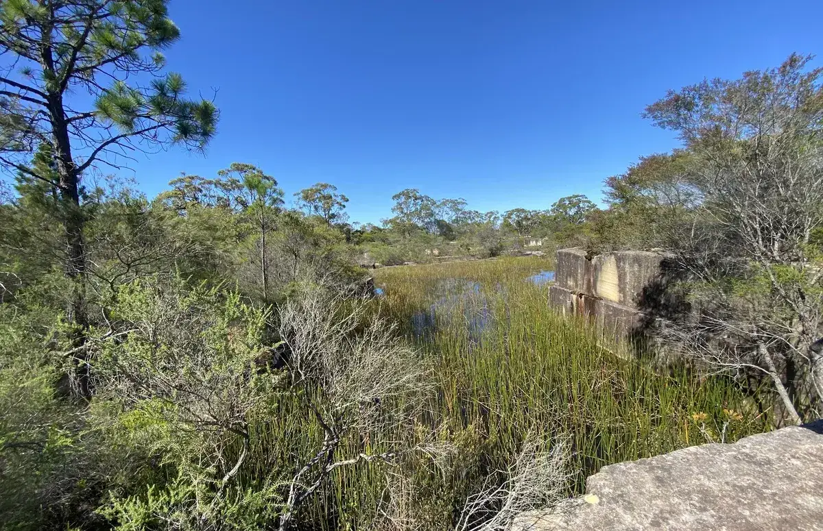
- This is the turnoff to the quarry, have a nice explore, be wary of drop offs: -33.424405, 151.266935 Google Maps Link
- Yay! You've reached the beautiful aboriginal engravings: -33.425303, 151.266665 Google Maps Link

Get Started
Thinking about a
project?
Good Architect only takes a limited number of projects a year to keep the quality high.
Talk to Us