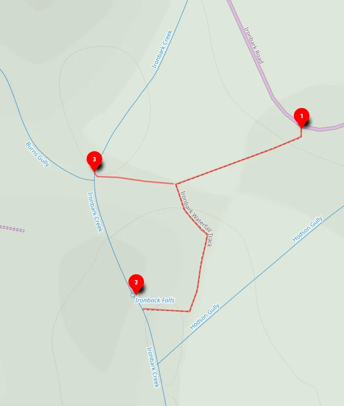
Ironbark Falls (0.6km Return)
A short 0.6km return walk to Ironbark Falls in Popran National Park, best after heavy rainfall. For experienced hikers.
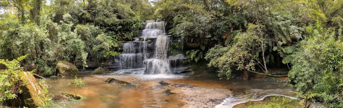
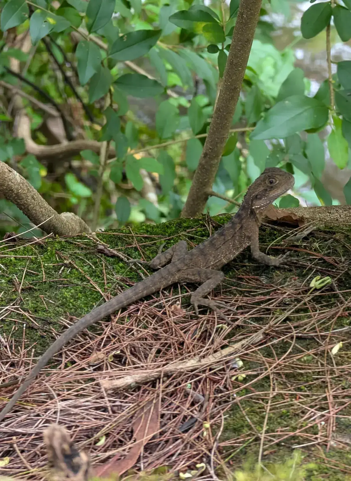
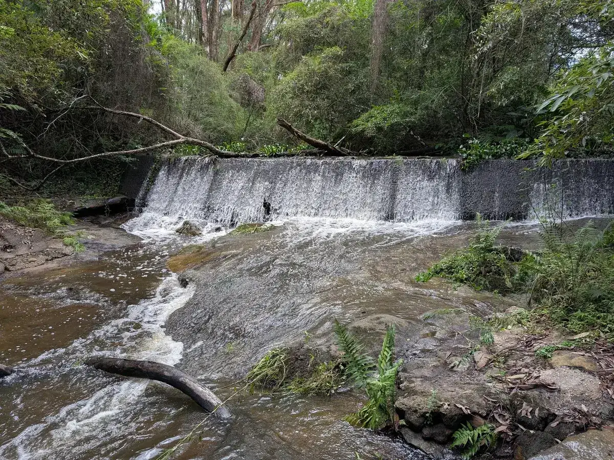
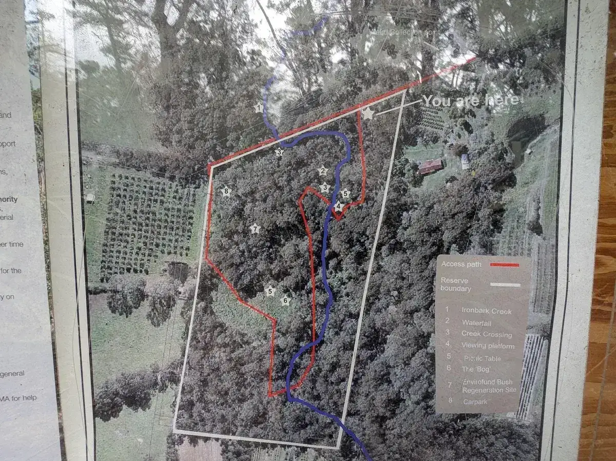
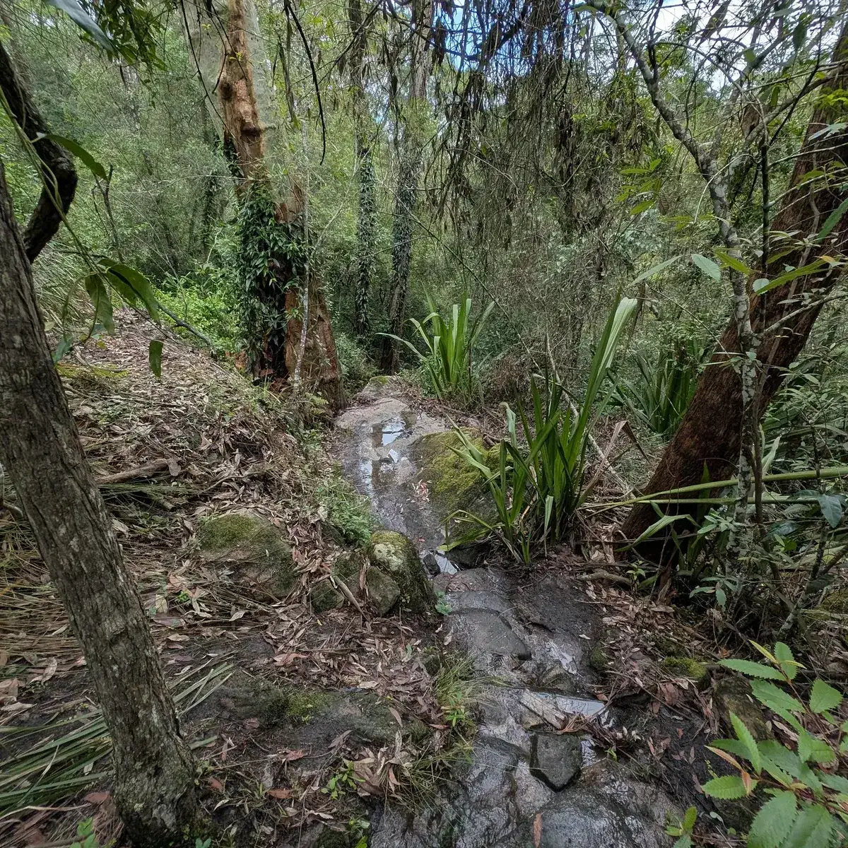
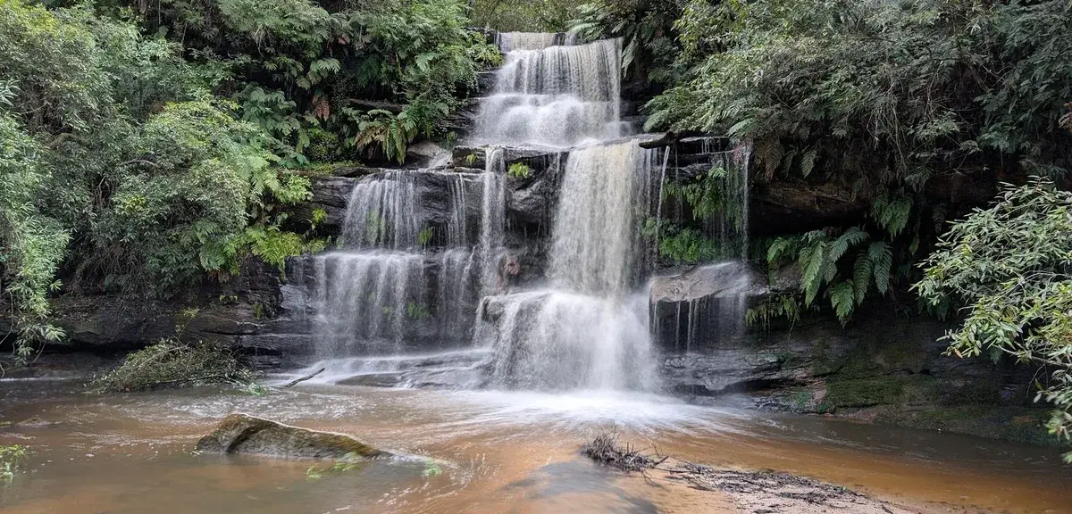
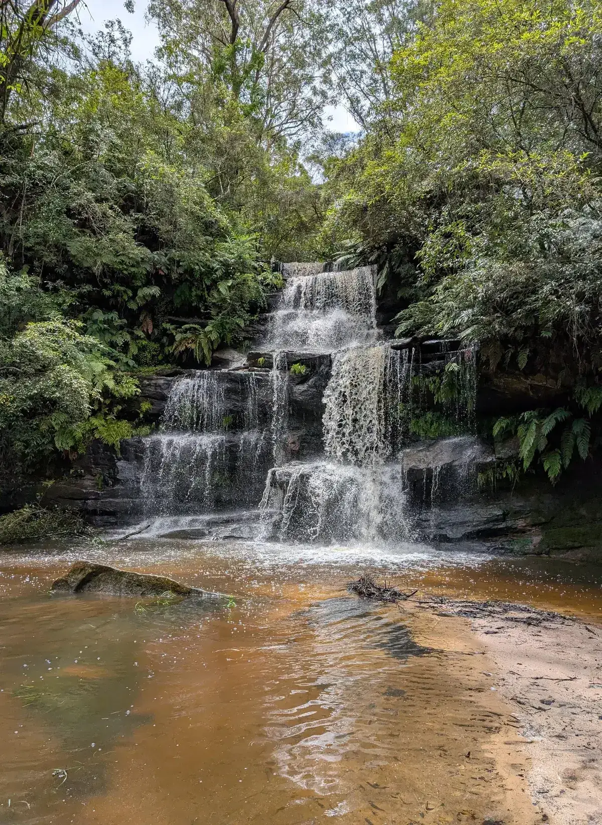
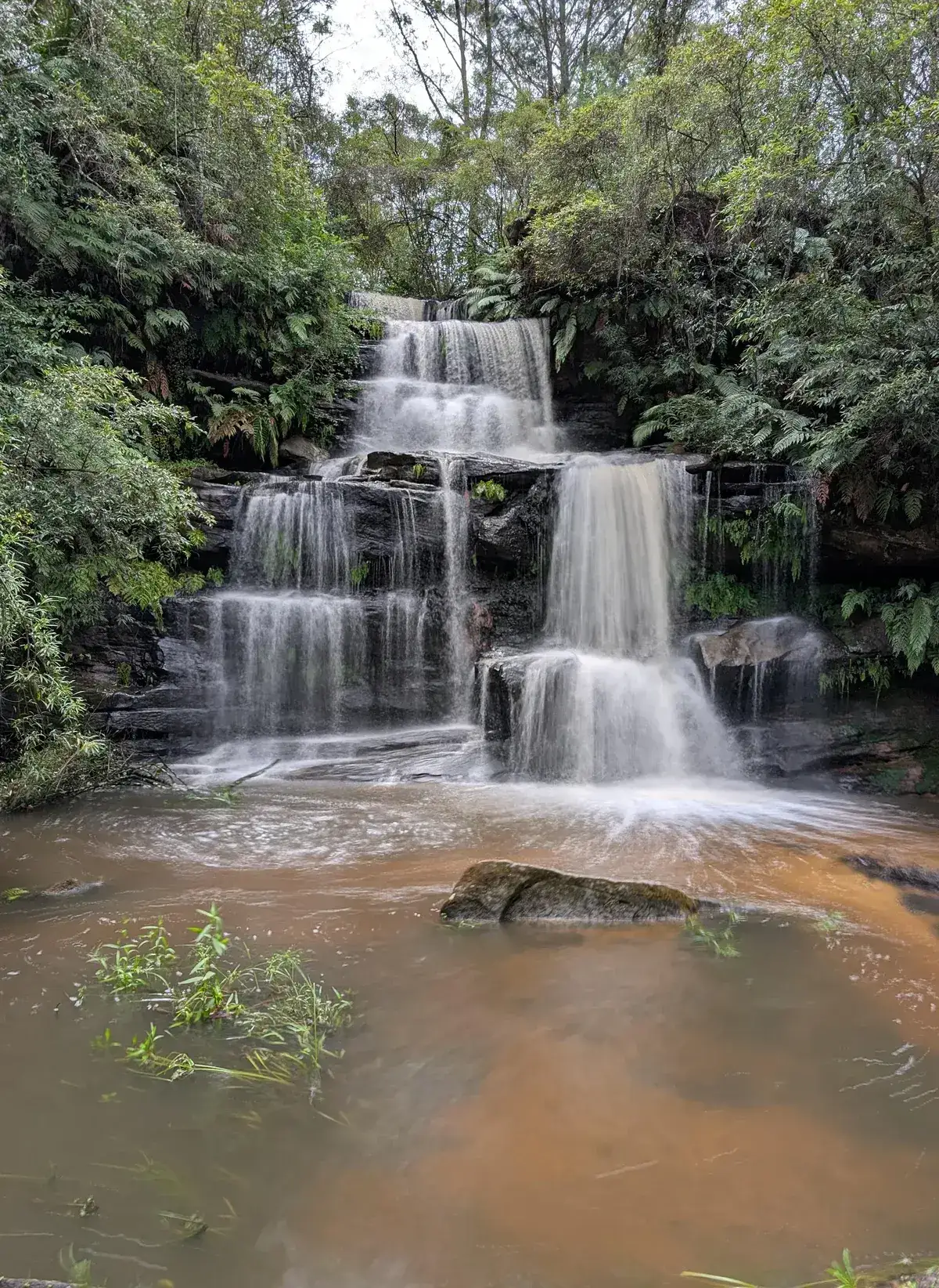
This is a great little walk to do. The falls were pumping because of heavy rain when I went so there was a lot of water. Spotted a small water dragon and two dinner plate size yabbies as well. The map at the top shows the walk to be a loop, found part of the trail of the other side of the fall, it petered out though.
Had a look at doing it counterclockwise, the water running underneath the causeway at the top was a little too deep, may go back and explore when there has been less rain. Although it is a short walk it is poorly maintained so I recommend only experienced hikers attempt it. I wouldn't swim here because there would be a lot of runoff from the farms upstream.
Elevation change: Up 40m, Down 40m
Walk directions
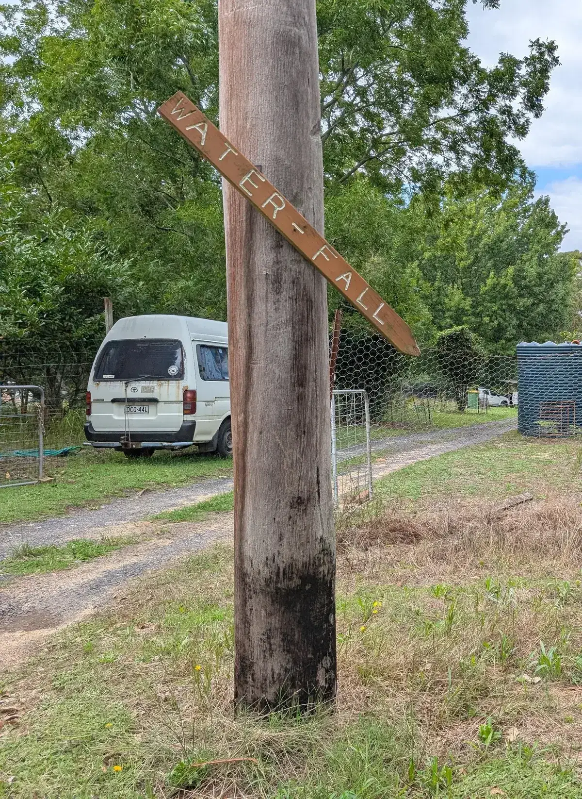
- Start on Ironbark Road, there is a brown sign on the south side of the raod, its pretty old and hard to see: -33.33399, 151.18259 Google Maps Link
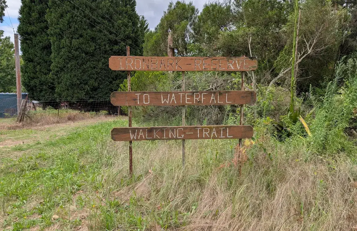
- This is the falls location, turn left at the hut with the information to get here: -33.335650, 151.180810 Google Maps Link
- Here is the top of the creek just under the causeway, head right at the information hut to check it out.: -33.5376030, 151.2384366 Google Maps Link

Thinking about a
project?
Good Architect only takes a limited number of projects a year to keep the quality high.
Talk to Us