Point Clare to Tascott (4km)
4km ridgeline bushwalk above Brisbane Water with filtered water views, lyrebirds, wallabies, and ancient guardian tree.
Elevation change: Up 220m, Down 220m
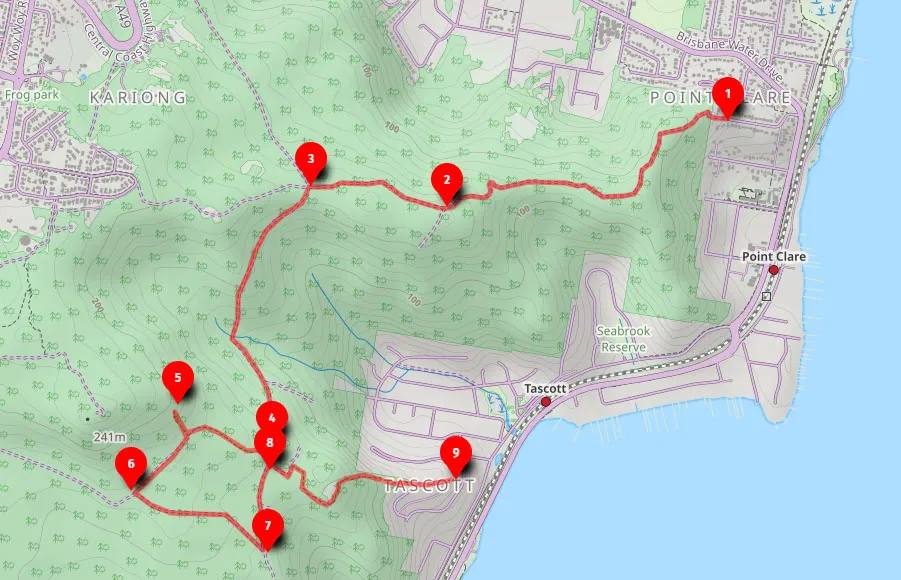
The Point Clare to Tascott walk is a peaceful 4km return bushwalk that follows a quiet ridgeline above Brisbane Water. This elevated trail gives you filtered water views through the trees, birdsong all the way, and a real sense of being away from it all, even though you're not far from the train line or the town below.
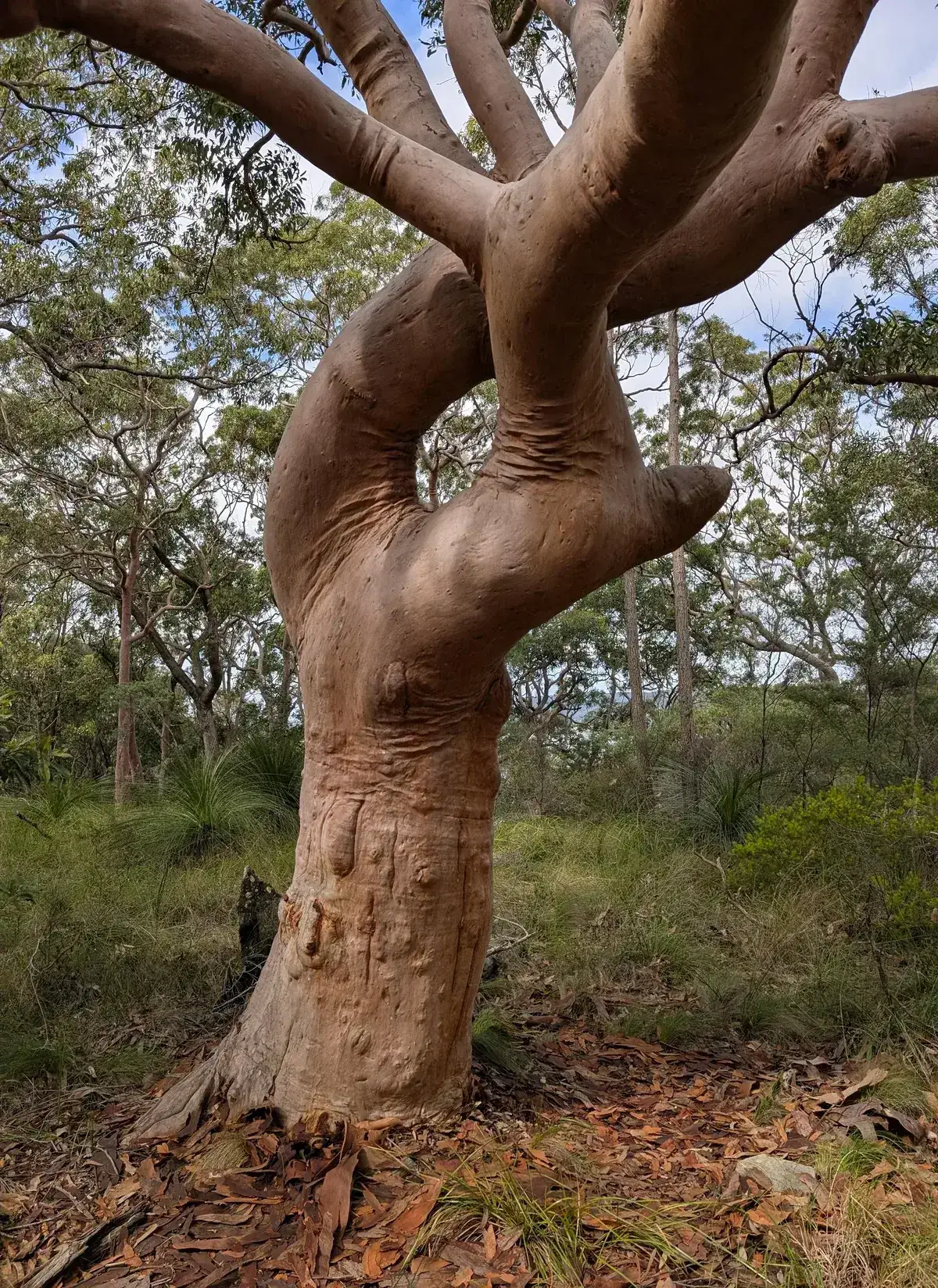
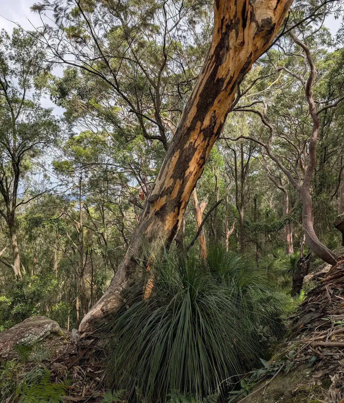
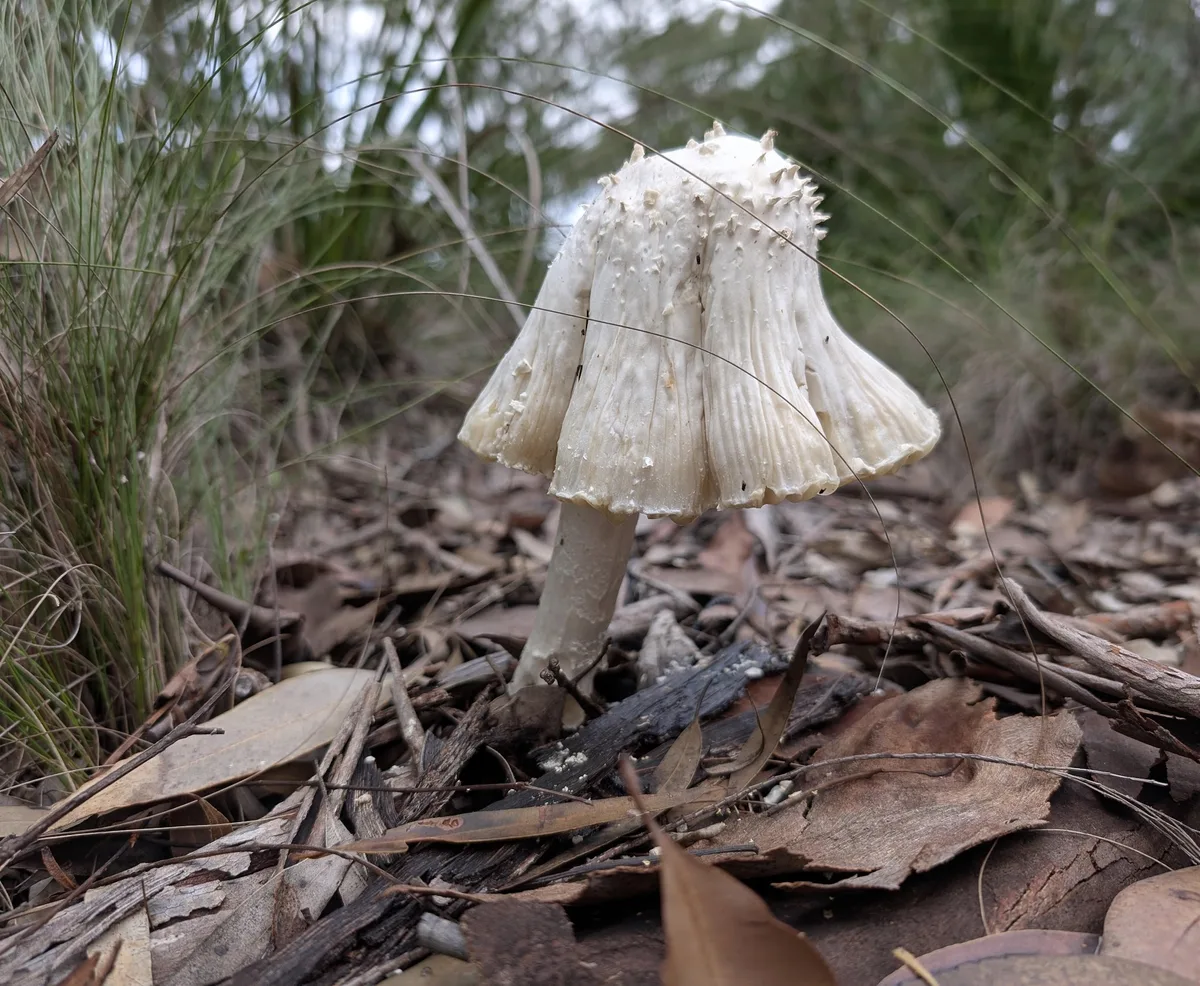
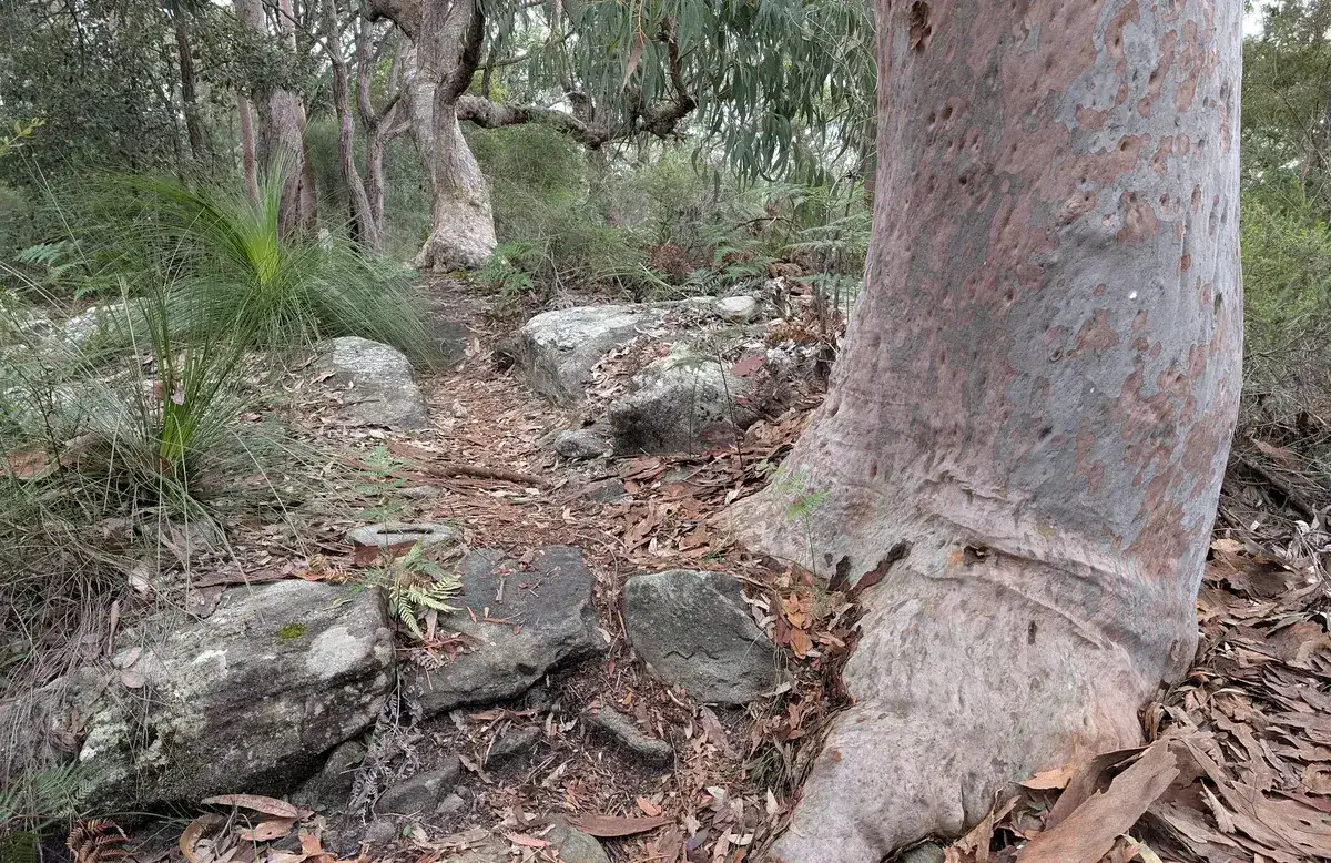
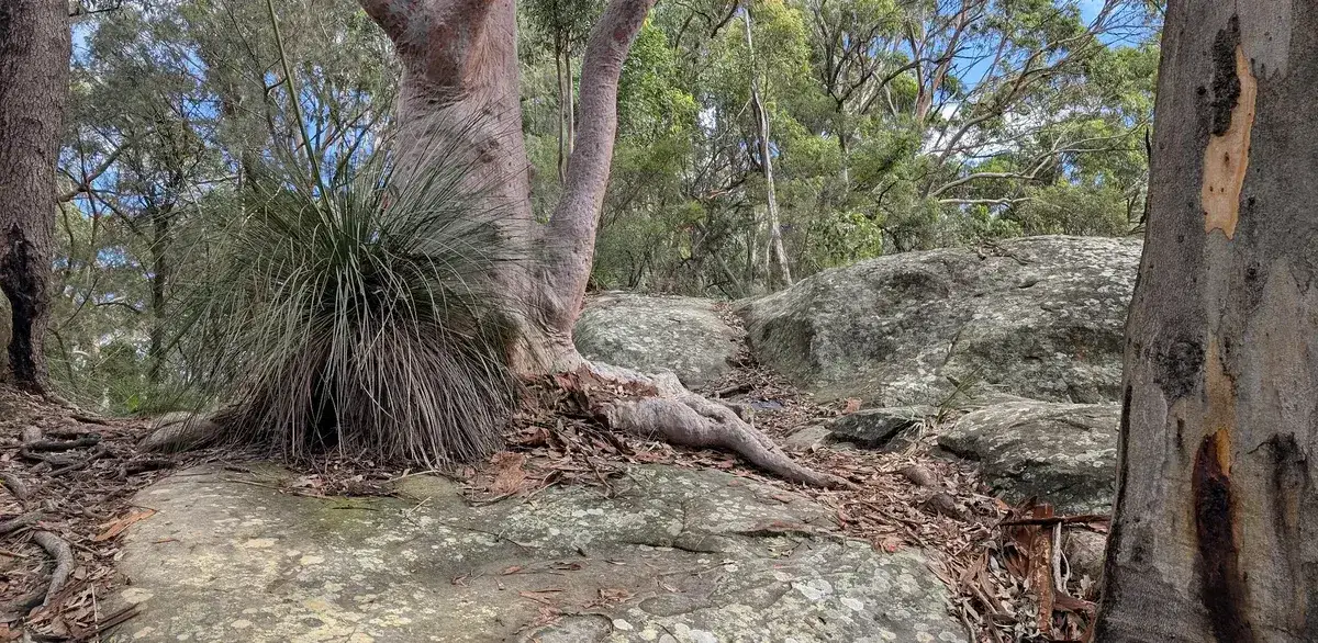
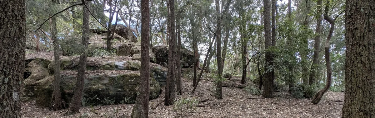
The track climbs from the back of Point Clare and follows the high ground through dry eucalypt forest, angophoras, and rocky outcrops. You’ll spot lyrebirds, wallabies, and even the odd echidna if you’re lucky. This is a great option if you’re looking for a Central Coast walk with elevation.
Walk directions
- Start at the top of Penang Street: -33.440793, 151.326451 Google Maps Link
- Continue straight ahead: -33.443886, 151.314397 Google Maps Link
- Turn left: -33.443116, 151.308539 Google Maps Link
- Turn right: -33.452373, 151.306908 Google Maps Link
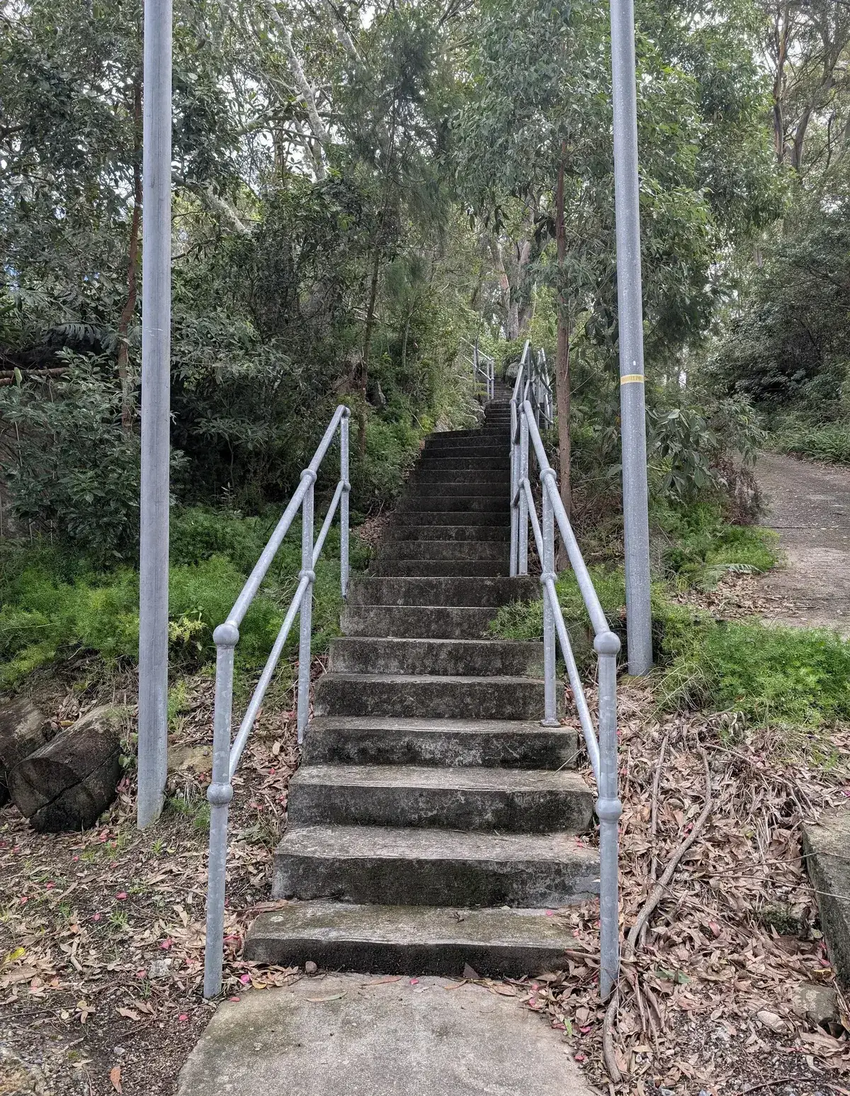
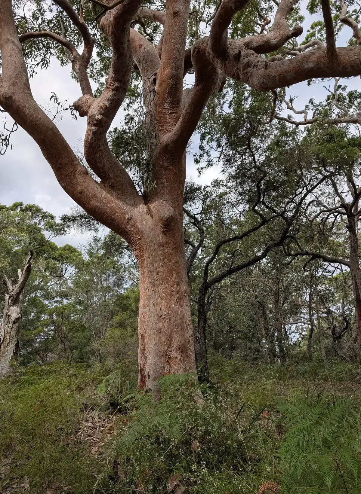
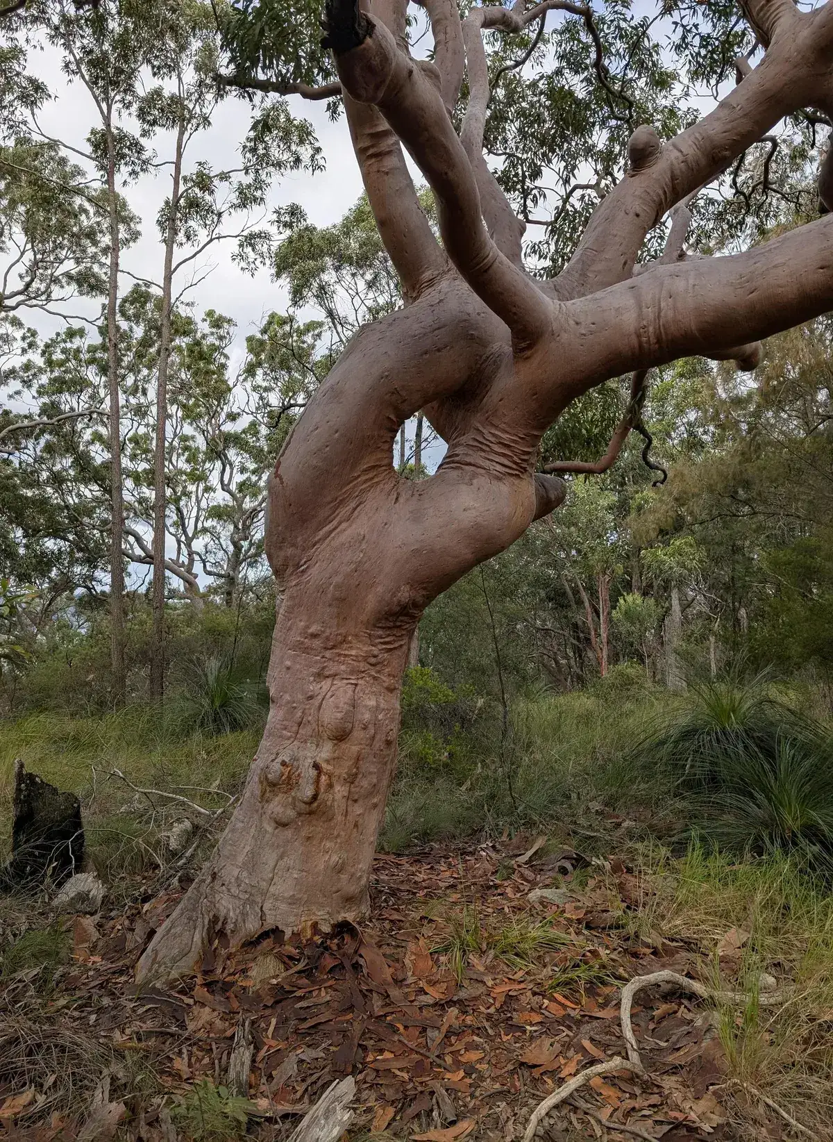
- Turn right to explore the guardian tree and hieroglyphs, the glyphs may be closed because of risk of rockfall, the guardian tree, a beautiful old angophora is worth experiencing anyway, it is also know as the Grandmother or Grandfather tree. Return and continue along the trail afterwards: -33.450976, 151.302853 Google Maps Link
- Turn left: -33.454038, 151.300857 Google Maps Link
- Turn Left: -33.456275, 151.306694 Google Maps Link
- Turn right down the hill: -33.453268, 151.306822 Google Maps Link
- Horray, you have arrived in Tascott: -33.453644, 151.314783 Google Maps Link
Thinking about a
project?
Good Architect only takes a limited number of projects a year to keep the quality high.
Talk to Us