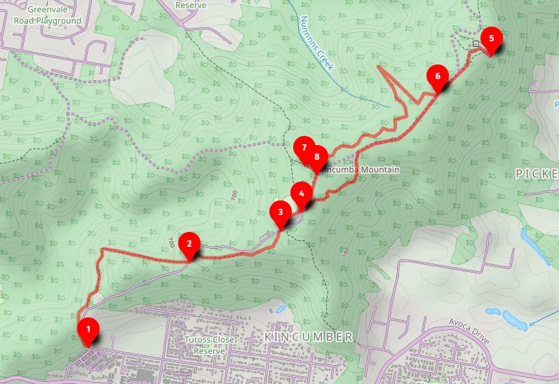
What does Kincumber mean?
Kincumber is a local aboriginal word that means "The direction of the rising sun", perhaps because Kincumber Mountain goes from west to east.


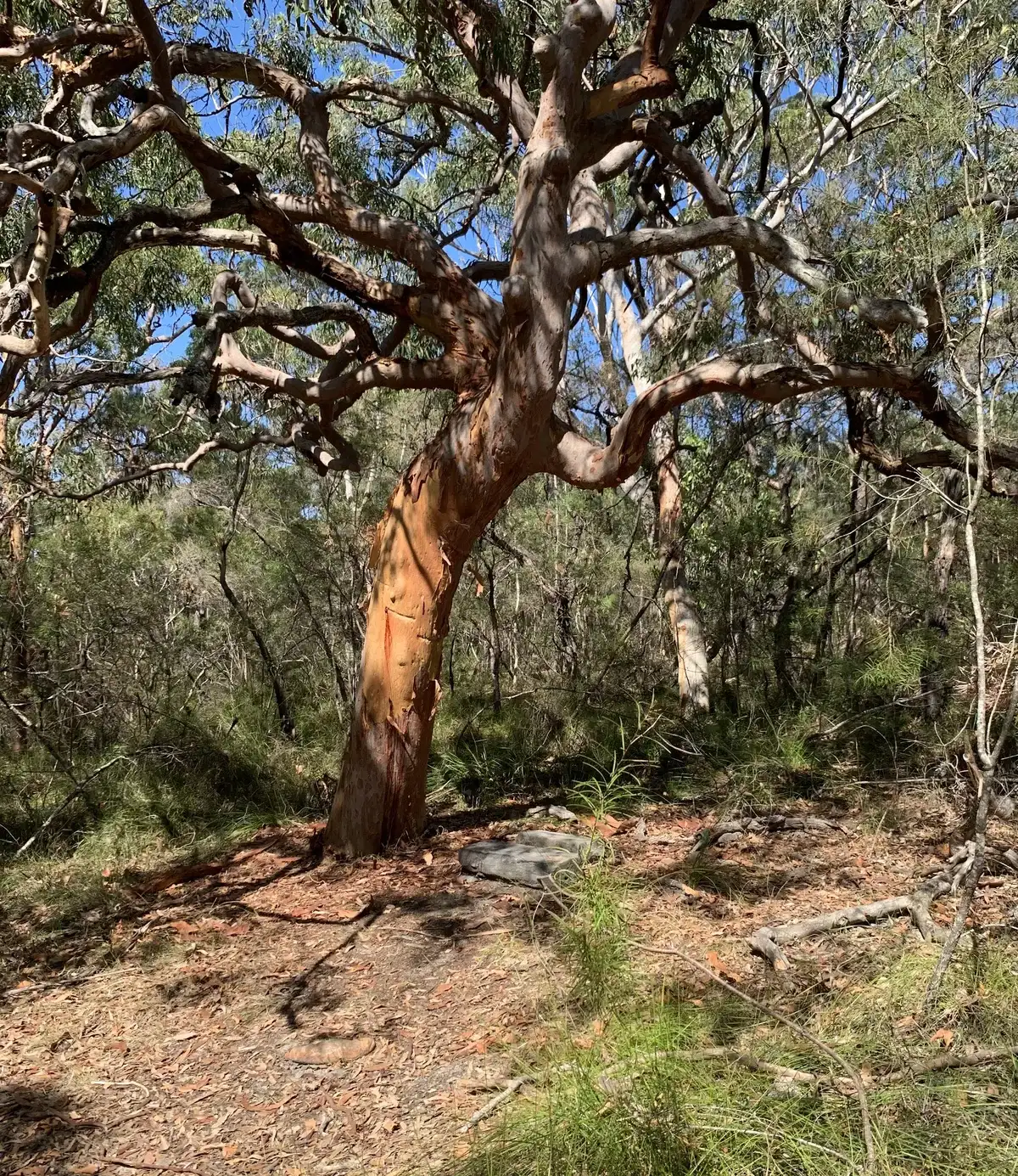
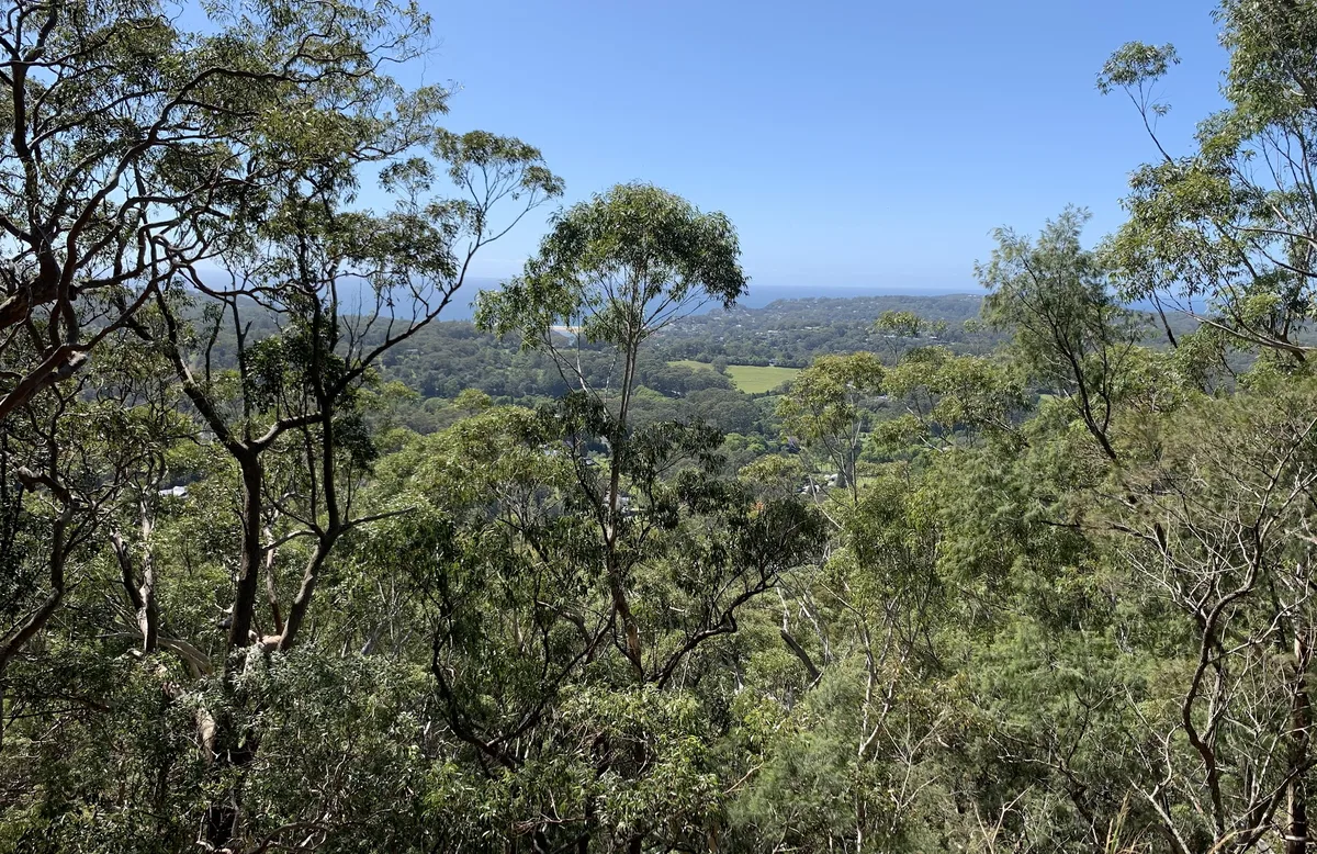
Kincumber is a local aboriginal word that means "The direction of the rising sun", perhaps because Kincumber Mountain goes from west to east.
Good Architect only takes a limited number of projects a year to keep the quality high.