Open this walk on the interactive map
Central Coast Bushwalk
Gosford Station to Wyoming (11km)
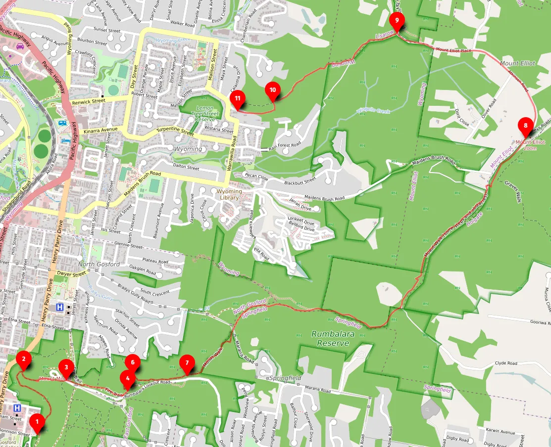
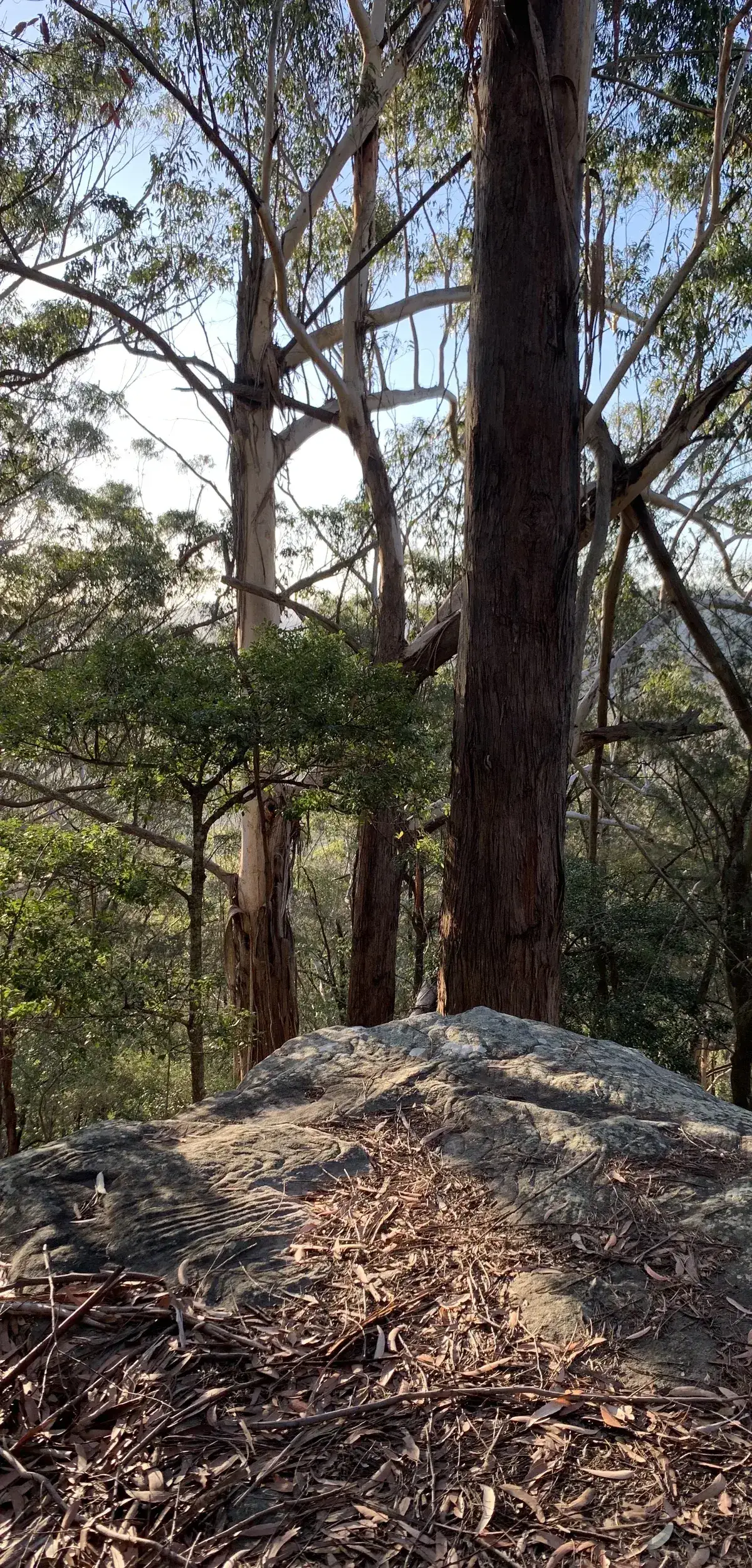
An 11km walk featuring sections of rainforest, a beautiful lookout and drier angophora areas on the top.
At a glance
- Distance
- 11km
- Ascent
- 440m
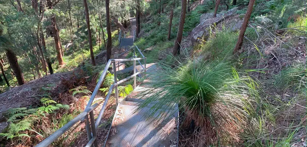
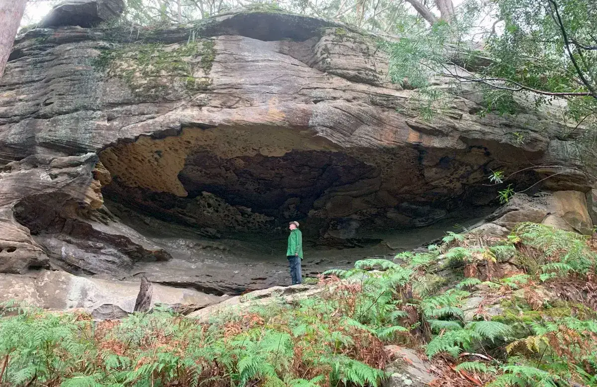
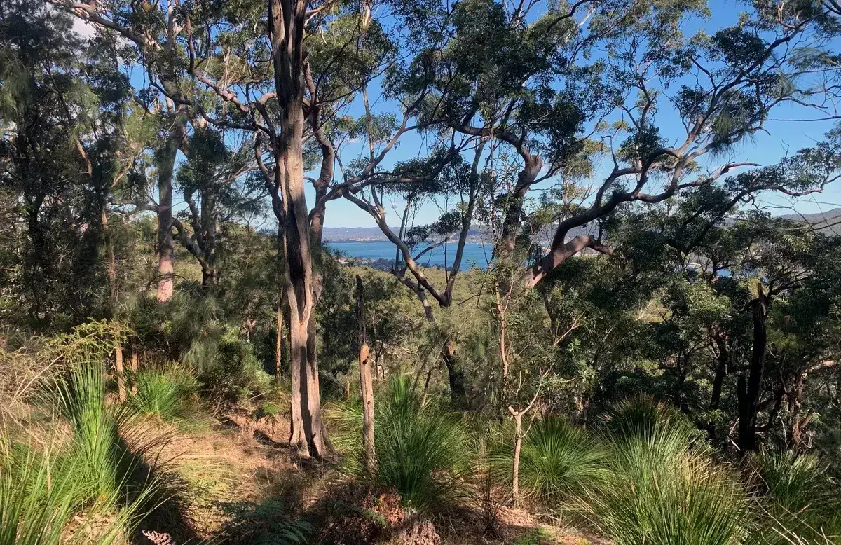
This walk has sections of rainforest, a beautiful lookout and dryer angophora areas on the top. It is always enjoyable, there is a short section along a paved road though.
A. Start, Gosford Station: -33.423848, 151.3419914 Google Maps Link
B. Turn left at Donnison St: -33.426946, 151.341884 Google Maps Link
Walk directions
- Start at the base of Rumbalara: -33.427623, 151.347774 Google Maps Link
- Turn right: -33.42309,151.34649 Google Maps Link
- Cross the road and continue on the path on the other side: -33.42374,151.35025 Google Maps Link
- Turn right along the fire trail: -33.42407,151.35186 Google Maps Link
- Turn Left down the hill: -33.42451,151.35559 Google Maps Link
- Turn Right back up the hill: -33.42334,151.35600 Google Maps Link
- Turn Left along the Muat Walk: -33.42339158282182, 151.36076152324677 Google Maps Link
- Take the Time to have a look at the beautiful At John Lookout and picnic area, leave the picnic area and walk long Atkinson Road and then continue up even when it turns into a firetail: -33.406170306533404, 151.39008879661563 Google Maps Link
- Go straight down the firetrail (Barduk Rd), North, down the hill: -33.39855710967195, 151.37894153594974 Google Maps Link
- Turn left along the Ridgeway: -33.386195, 151.37503623 Google Maps Link
- Yay! You've reached the end at Lisarow Station: -33.382540, 151.369972 Google Maps Link
Get Started
Thinking about a
project?
Good Architect only takes a limited number of projects a year to keep the quality high.