The Australian Museum has found that the art of the Darkinjung aborigines stretches all the way from the Central Coast to Wollemi National Park 90km to the west.
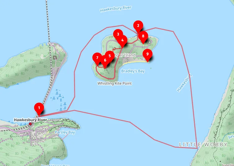
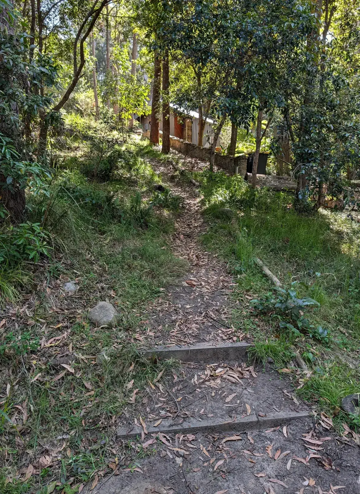
- Path up.
- End of the Path Down
The Australian Museum has found that the art of the Darkinjung aborigines stretches all the way from the Central Coast to Wollemi National Park 90km to the west.
Good Architect only takes a limited number of projects a year to keep the quality high.