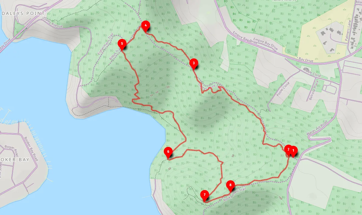
Open this walk on the interactive map
Central Coast Bushwalk
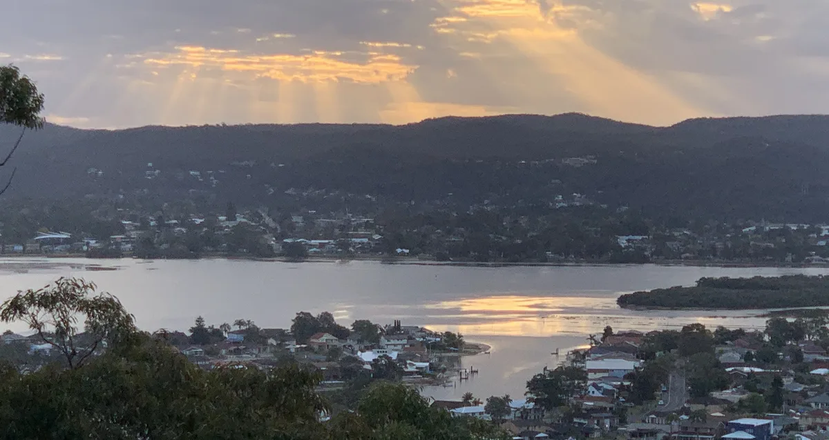
Daleys Point Loop (7km)
A lovely 7km loop walk with beautiful angophoras, rocky outcrops, mangroves and a small collapsed stone building at Daleys Point.
Elevation change: Up 150m, Down 150m
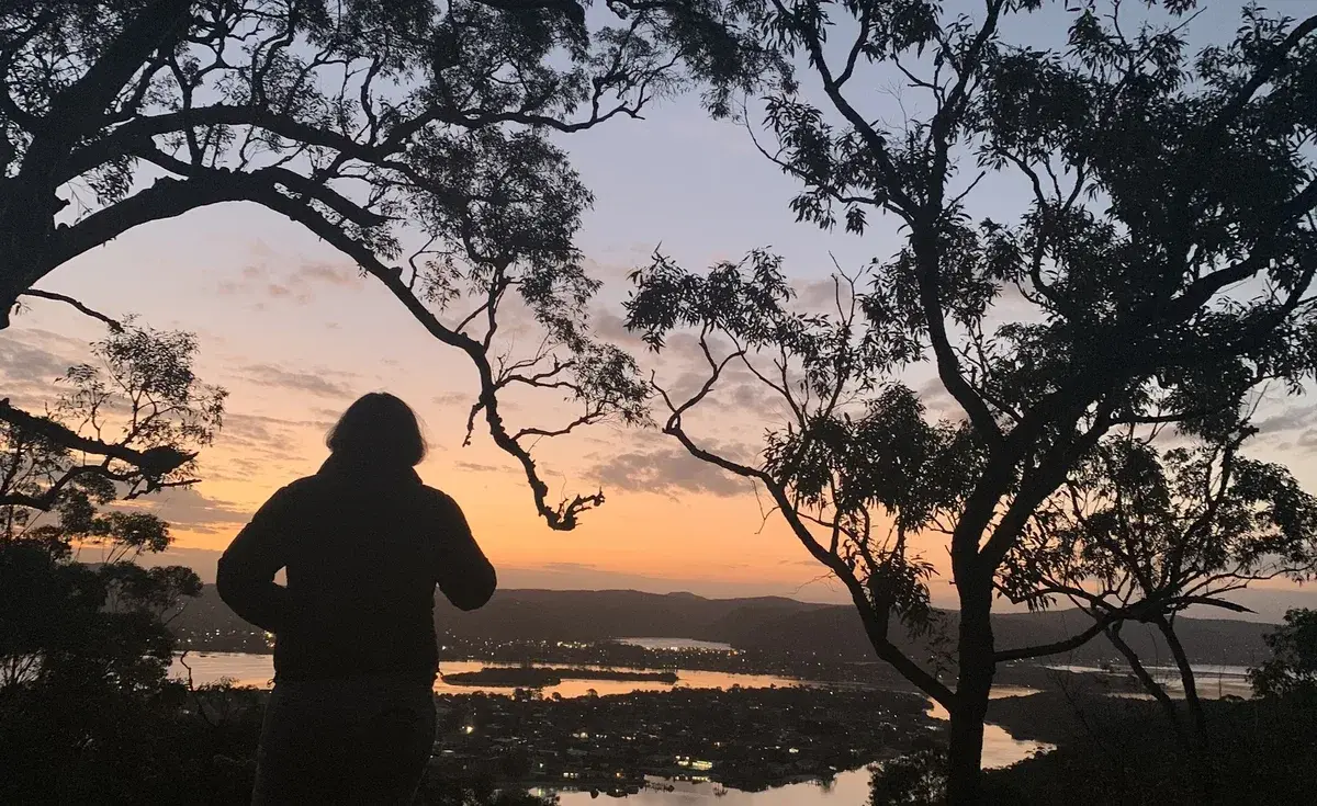
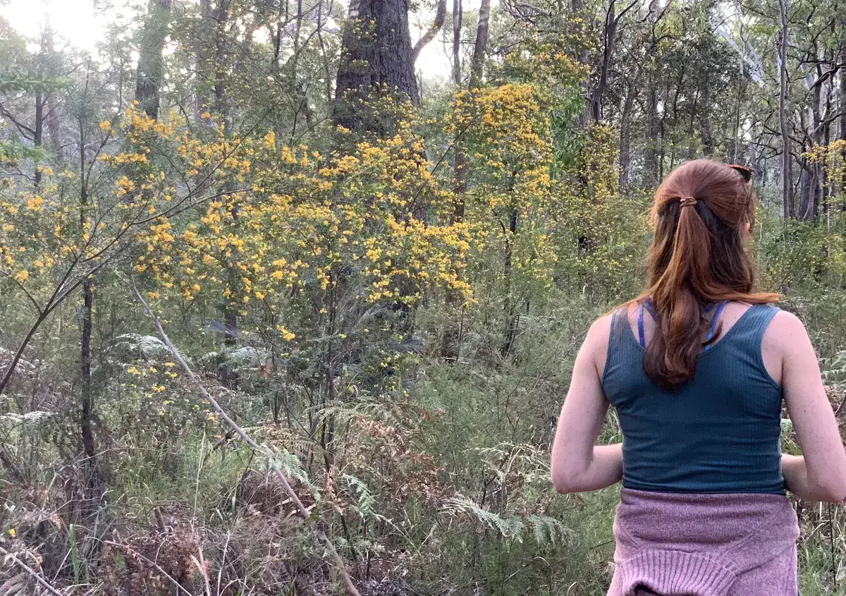
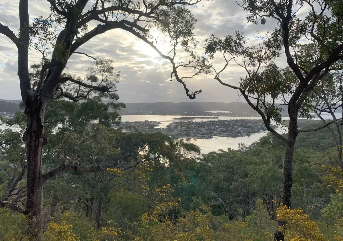
This is a lovely walk with beautiful angophoras and rocky outcrops to explore. This also has a magical mangrove section down the bottom with a small collapsed stone building.
Walk directions
- Start at the carpark for the Daleys point walking track carpark, there are two carparks here, park in the one further north closest to the road down the hill: -33.513942, 151.36972 Google Maps Link
- Head along Daleys Point Fire Trail and turn left to walk on the mountain bike trail that is parallel to the road: -33.513566, 151.369109 Google Maps Link
- Walk along Daleys Point Fire Trail until you see the mountain bike track again on the right, follow this: -33.508123, 151.361657 Google Maps Link
- Come back on Daleys Point Fire trail and turn left down the hill on Rileys Trail: -33.505739, 151.358004 Google Maps Link
- Turn left along the mountain bike trail down the hill: -33.506893, 151.356105 Google Maps Link
- Turn left to walk back up the hill: -33.51383, 151.359662 Google Maps Link
- Turn left to walk to the southern carpark: -33.516598, 151.362478 Google Maps Link
- Walk north to your carpark: -33.515981, 151.364484 Google Maps Link
Get Started
Thinking about a
project?
Good Architect only takes a limited number of projects a year to keep the quality high.
Talk to Us