 Shea CullenNSW Registered Architect 9748 · Updated 25 September 2026
The Central Coast has many beautiful waterways, from stunning Brisbane waters to Wyong River. This means there are stunning water views and a great lifestyle for fishing and kayaking. It also means there are a lot of flood prone properties on the Central Coast. The easiest way to find out if you are flood prone is to look it up with Central Coast Council's Online Mapping. Below is a step by step guide to finding out.
For a quicker first look, type your address into the free checker below. It reads council's flood maps, the NSW Planning Portal flood map and the NSW SES flood extents for your block and shows each one separately.
Is my block flood affected?
Type your address to see council, Planning Portal and SES flood maps for your block, each shown separately, in one free report.
Alternatively you can talk to us here and we'll look up all these details for you.
If my site is flood prone, what should I do?
If you are planning to do an extension or new build on your property, then Central Coast Council will require you to build above the minimum habitable flood level, so you will need to purchase a Flood Information Certificate from council, which costs $424.55 as at the 2026/27 fee schedule. You will also need a survey so that you can determine how much higher you need to build than the existing ground level. Here is a guide to applying for a Flood Information Certificate.
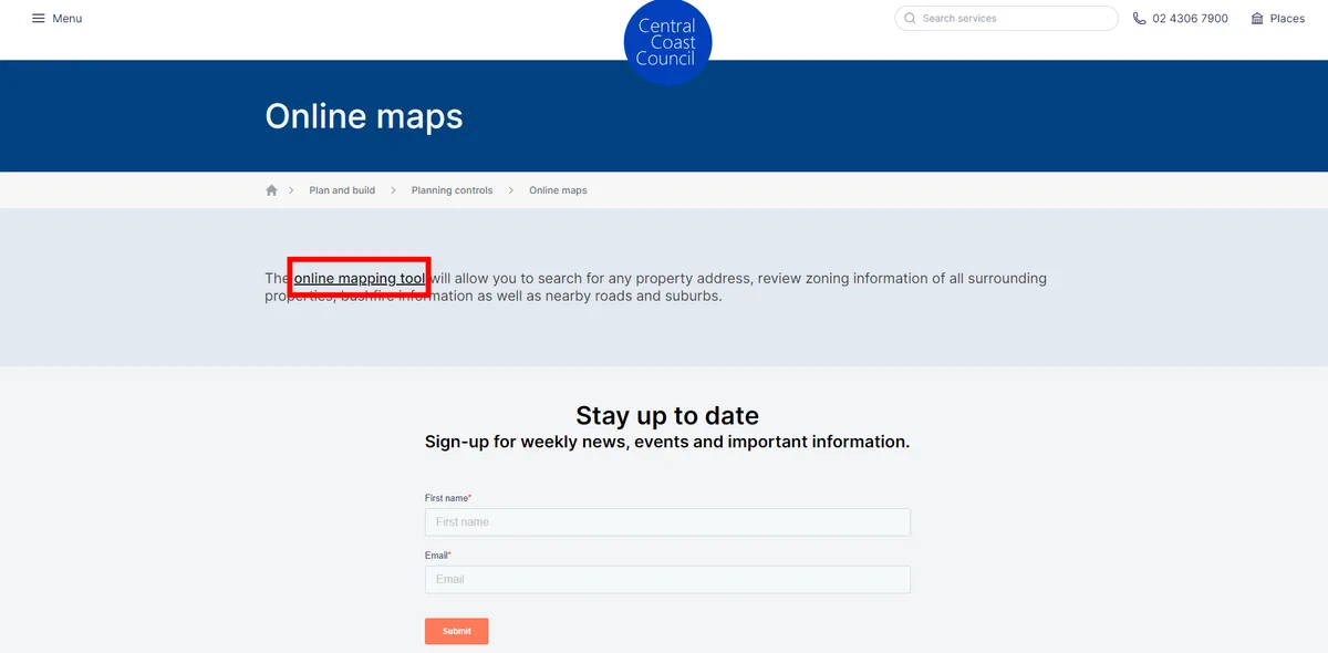
- Click on the Online Mapping Tool on Central Coast Council's website here.
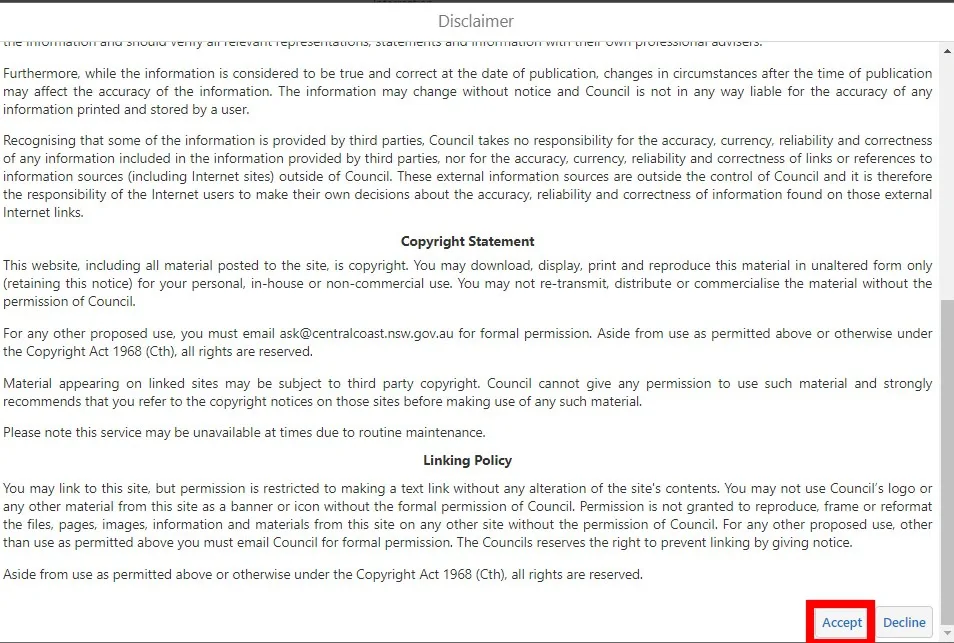
- Agree to council's terms and conditions:
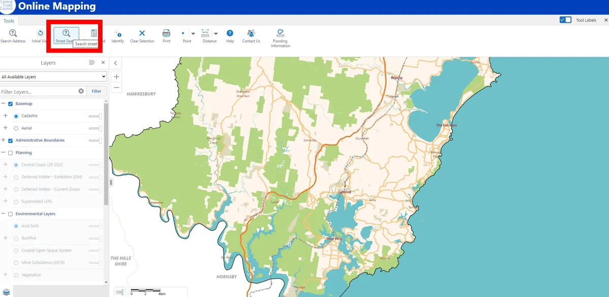
- Try searching for your address. This often doesn't work, tried three different examples and not a single one worked. Not to worry though, use the scroll on your computer mouse to zoom into your address. It often helps to have google maps open beside it to make your address easier to find.
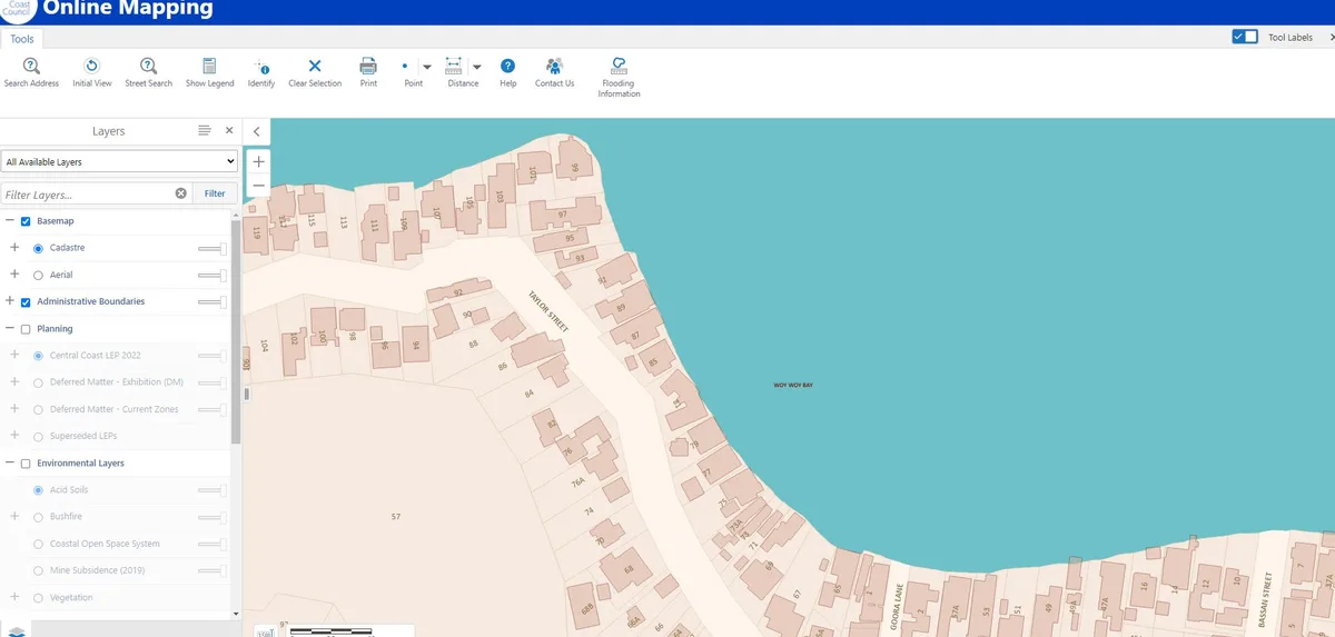
- Zoom into your address using the scroll bar.
- In the left sidebar scroll down.
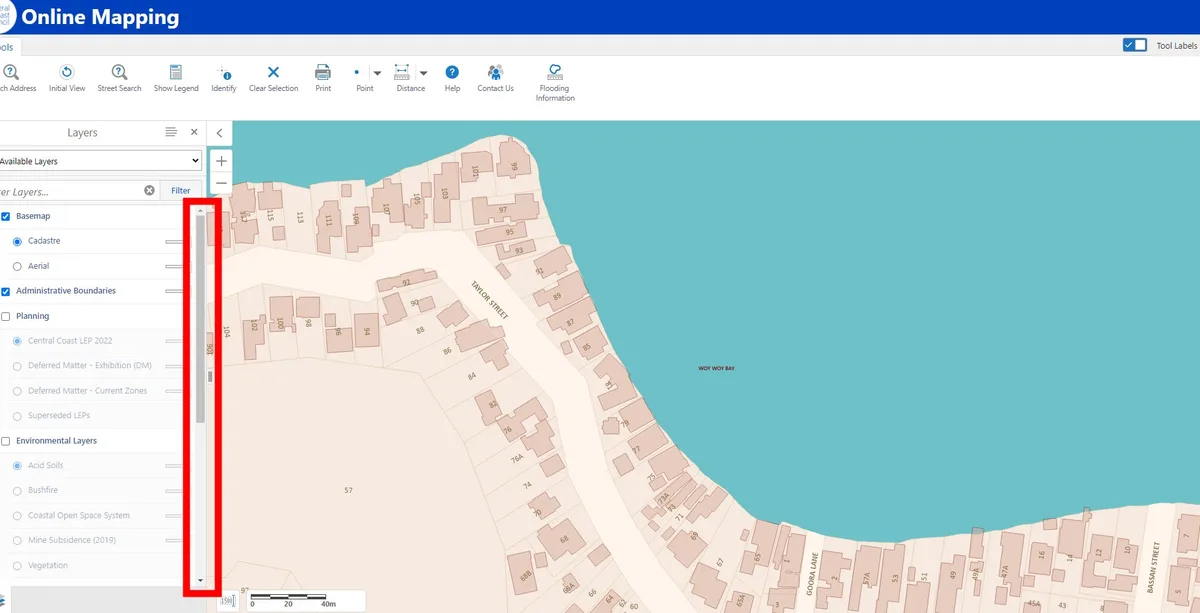
- In the left sidebar scroll down and select flooding:
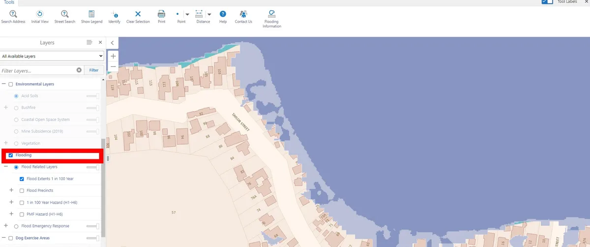
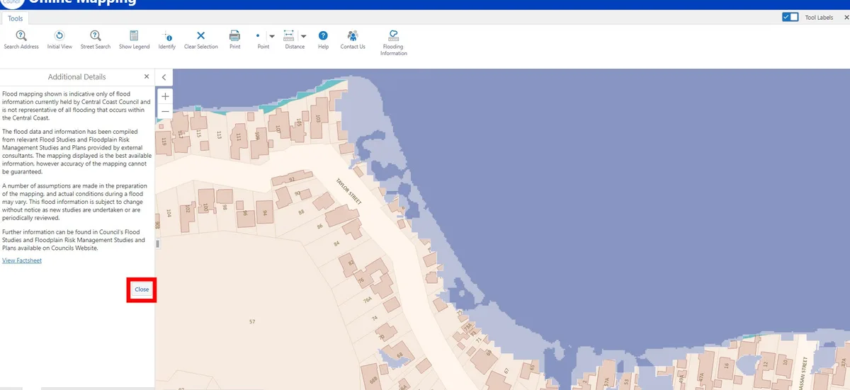
- Close the Additional Details information that pops up. You will already see what flooding your site is subject to for 1:100 year flooding.
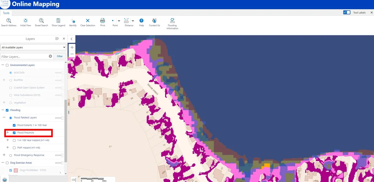
- Select Flood Precincts. If any colour is shown on your site then your property is subject to flooding and you'll need to get a Flood Information Certificate from Council that will tell you the minimum habitable level you can build to. Council now also requires car parking to be built to this level as well. Here is a guide to applying for a Flood Information Certificate from Central Coast Council.