Wyoming Rain Forest Loop (3km)
A quiet 3km bushwalk through lush rainforest with ferns, palms, creek crossings, and grass trees near Wyoming on the Central Coast.
Elevation change: Up 100m, Down 100m
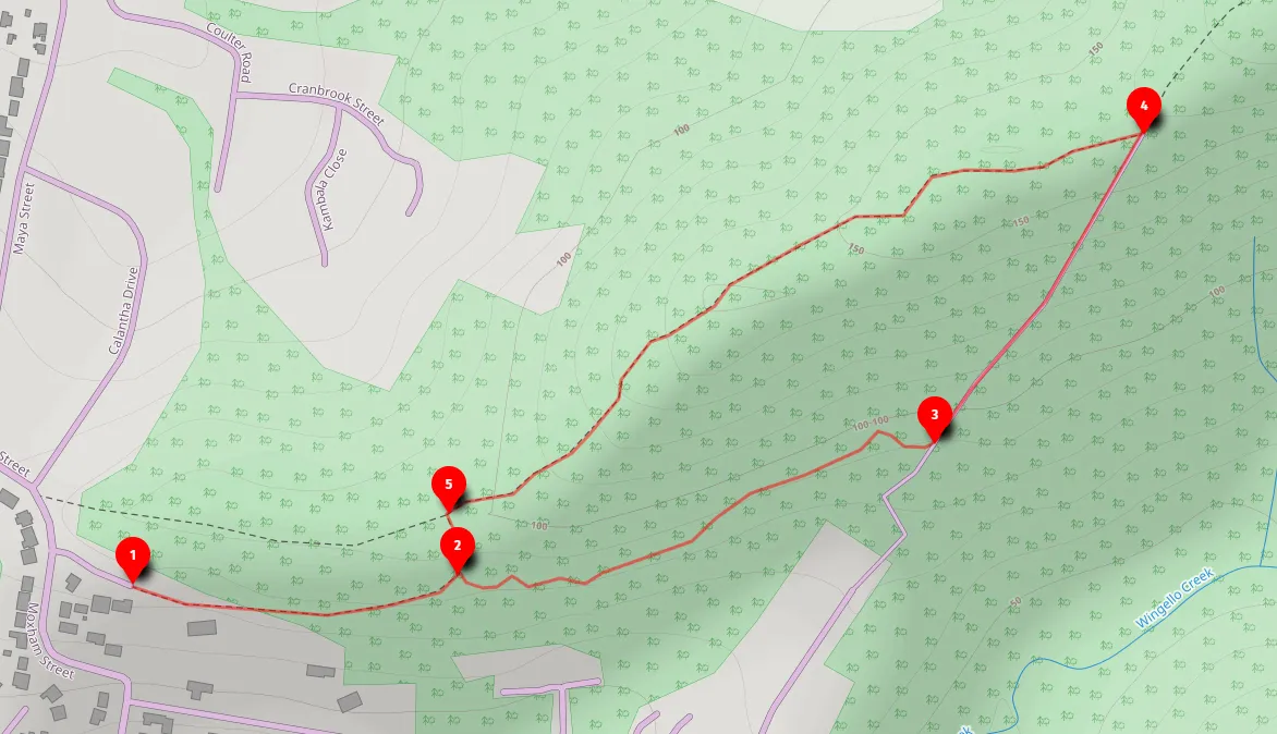
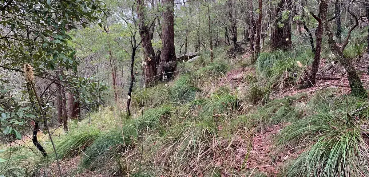
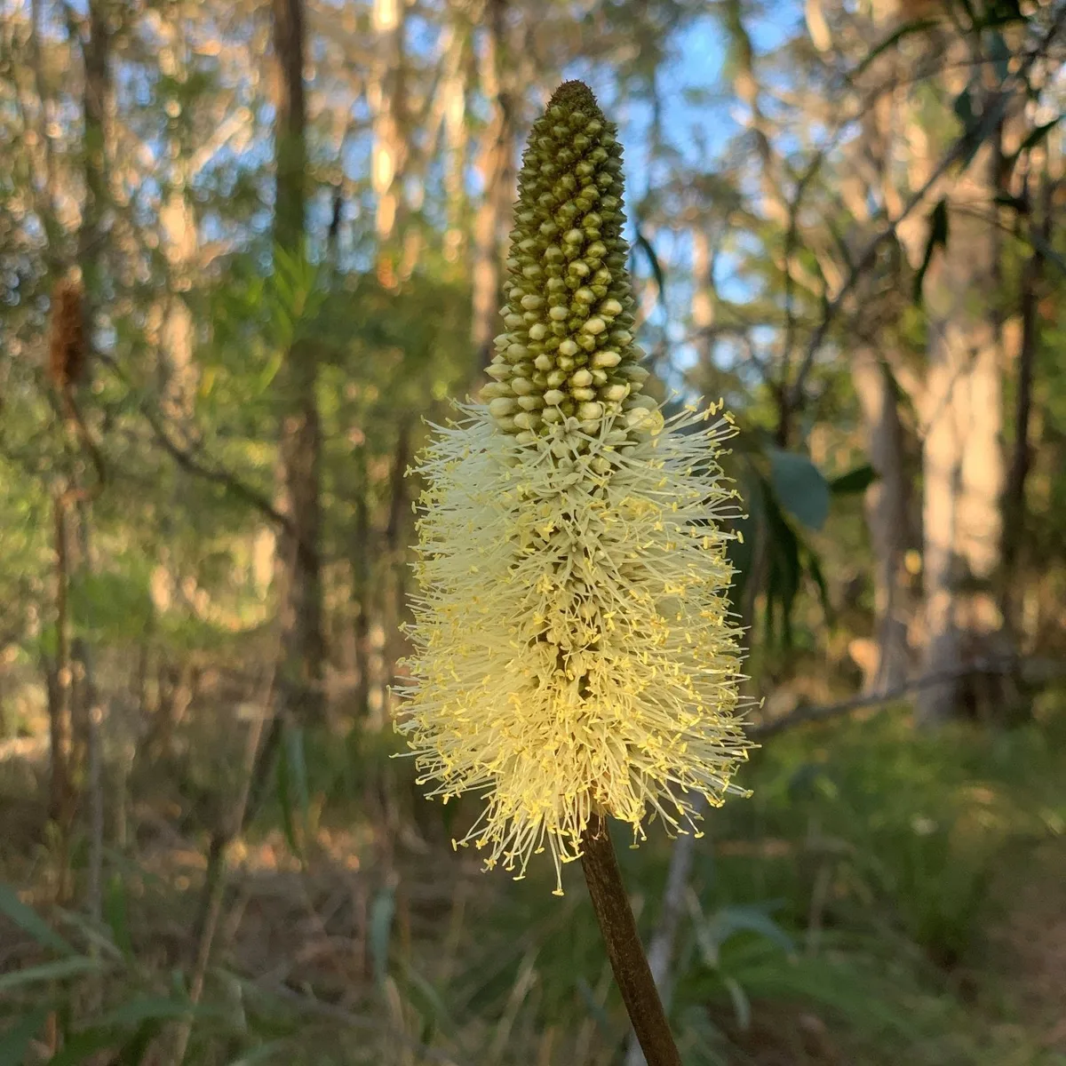
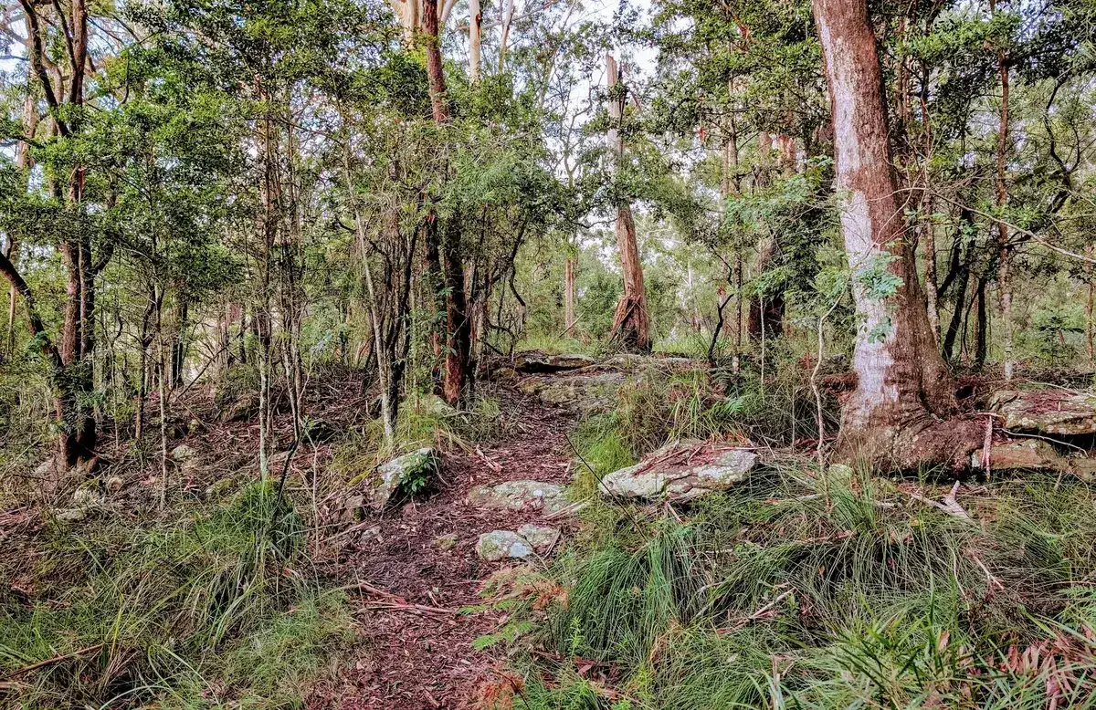
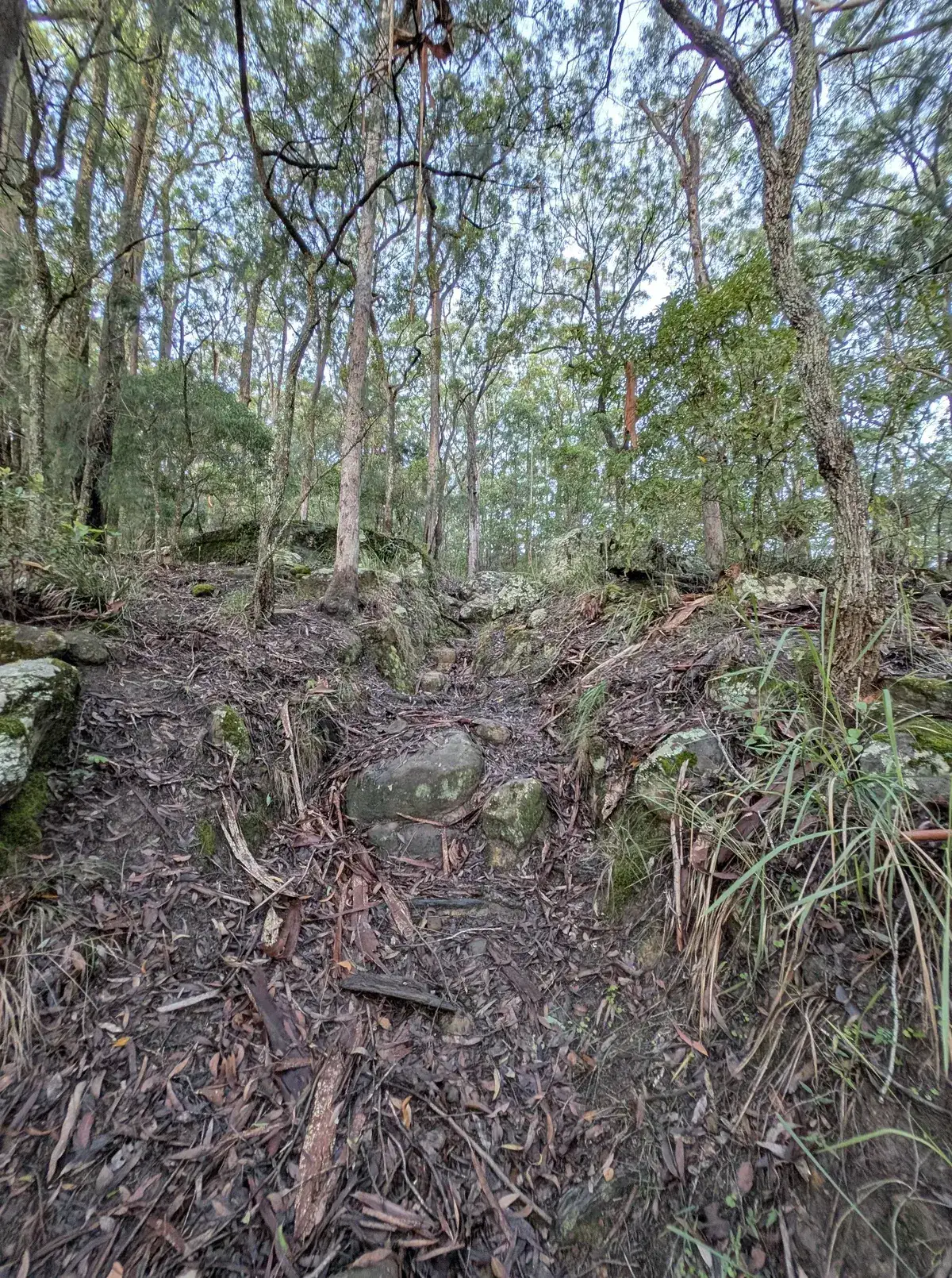
This is a lovely small walk in Wyoming, it has a lush rainforest section at the bottom and a rocky section along the top with grass trees.
If it has rained, avoid the bottom rainforest part from 2-3 and head up the hill instead to avoid leeches.
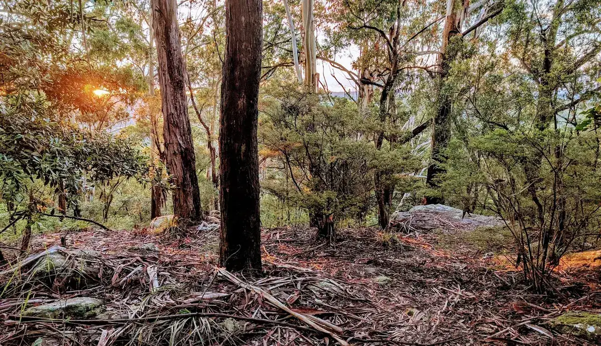
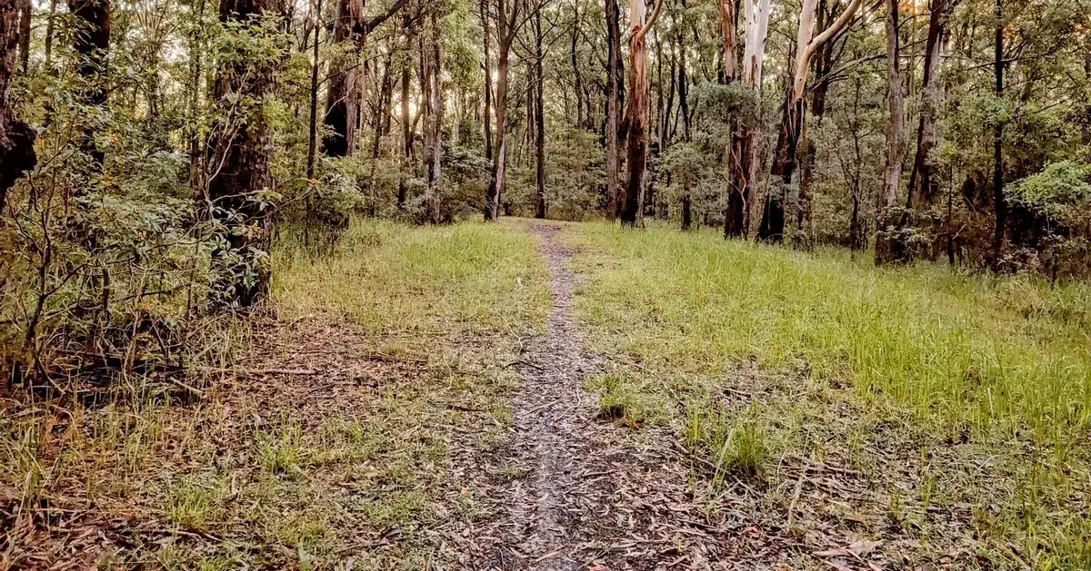
The Wyoming Rainforest Loop is a quiet 3km bushwalk through a surprisingly lush patch of rainforest in the heart of the Central Coast. It’s shady, peaceful, and full of ferns, palms, and trickling creek crossings that feel far away from suburbia, even though you’re only minutes from town.
There are moments where the bush closes in around you, the sound of bell birds takes over, and it really does feel like a little pocket of rainforest hidden inside the Central Coast.
Walk directions
- Start, Maranoa Street: -33.40416854823672, 151.36511206626892 Google Maps Link
- Turn right along a very small and hard to find track: -33.403858, 151.368383 Google Maps Link
- Turn Left onto Rain Forest Road and head up the hill: -33.403021, 151.373271 Google Maps Link
- Turn Left to a small lookout then head back down the hill, there are two paths, they both end up in the same place: -33.400676, 151.374451 Google Maps Link
- Turn left to head back to the initial track, there are a few paths back down to it, this is one: -33.403616,151.368149 Google Maps Link
Similar Bushwalks
Thinking about a
project?
Good Architect only takes a limited number of projects a year to keep the quality high.
Talk to Us