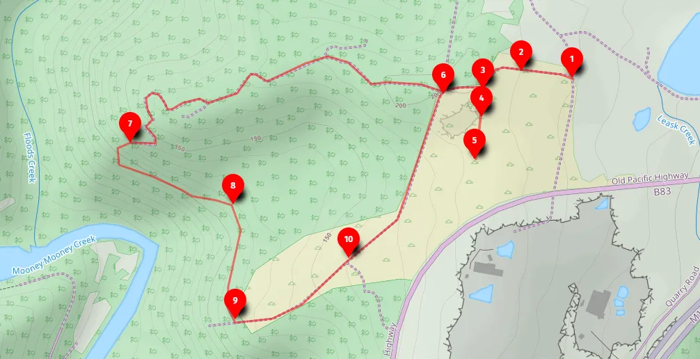
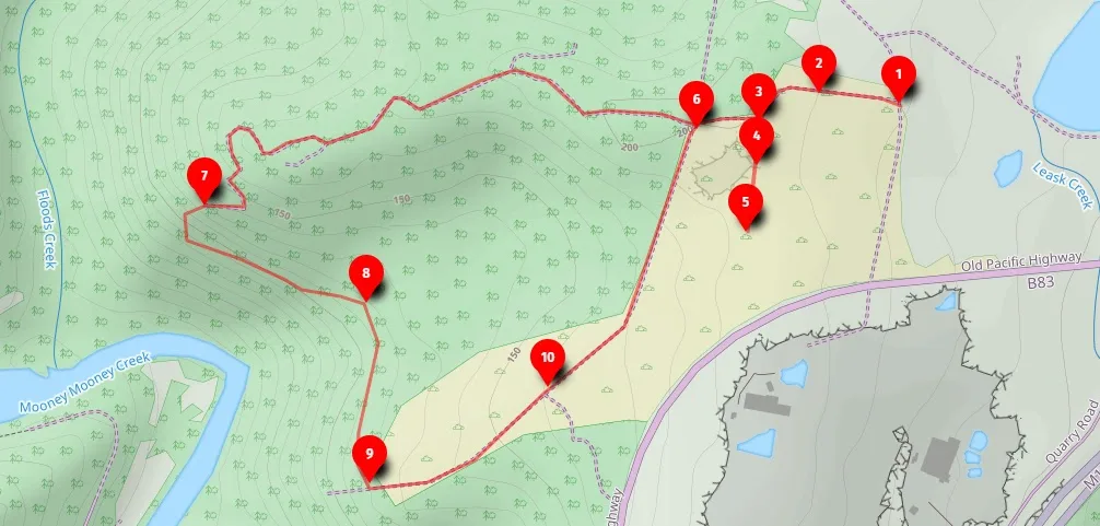
Open this walk on the interactive map
Central Coast Bushwalk
Megacave (6km return)
A 6km return walk to aboriginal engravings, a historic quarry, and a cave along a ridgeline, best visited at dusk.
Elevation change: Up 20m, Down 20m (a very flat walk)
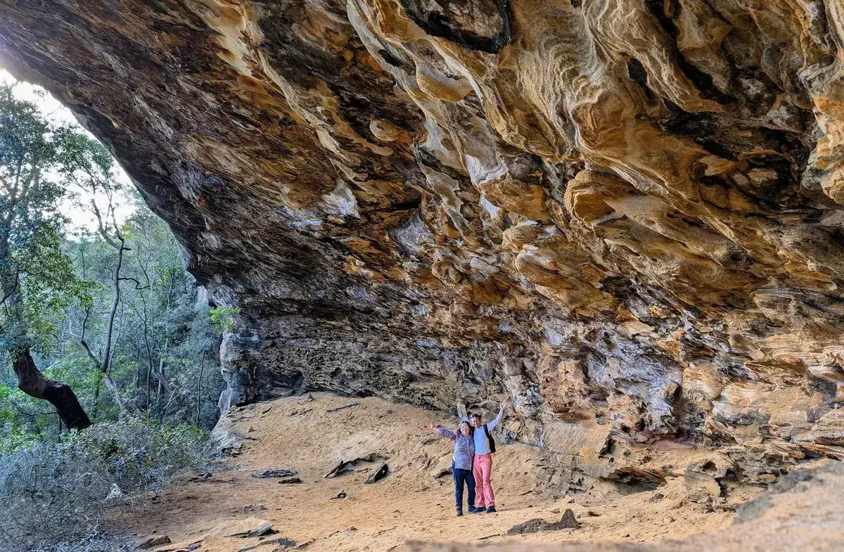
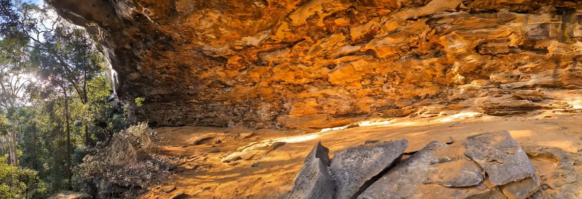
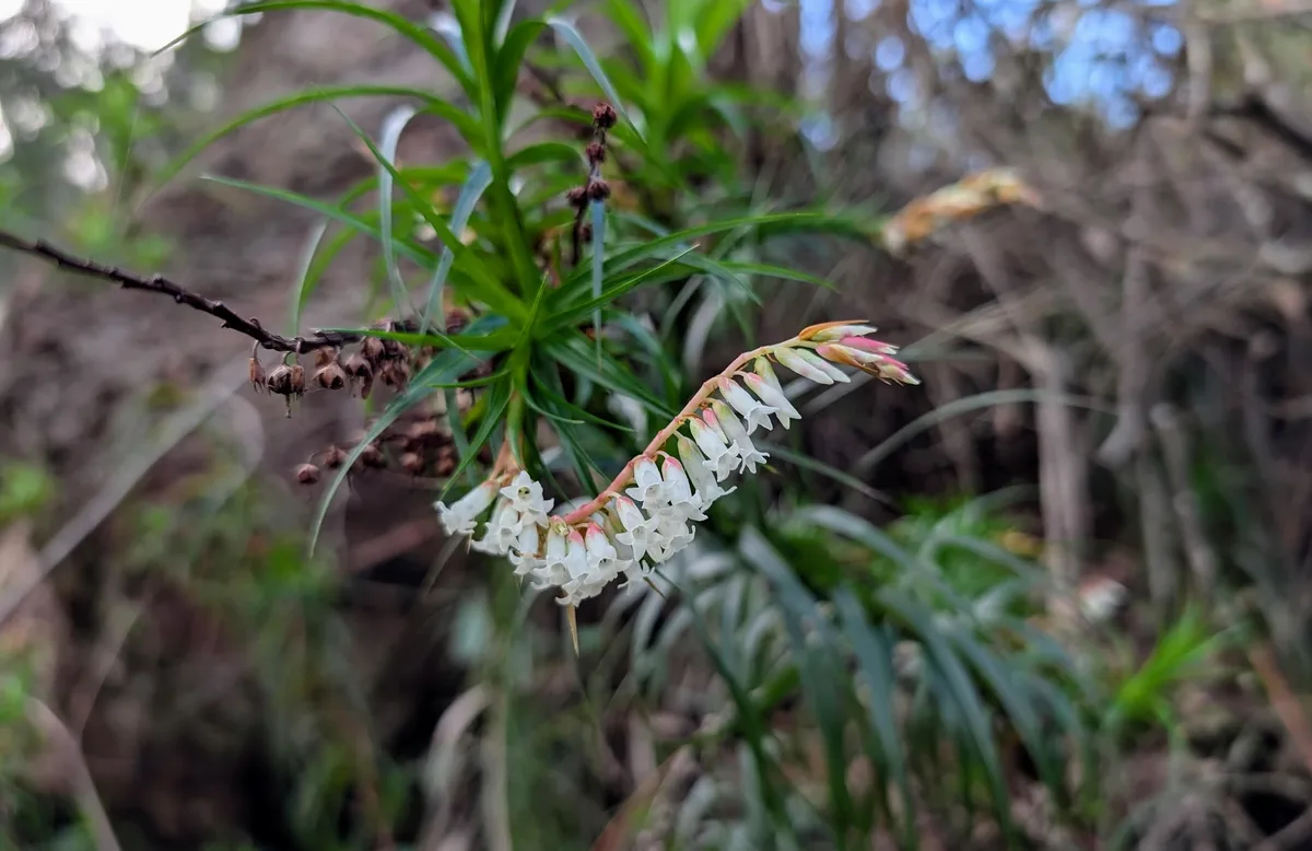
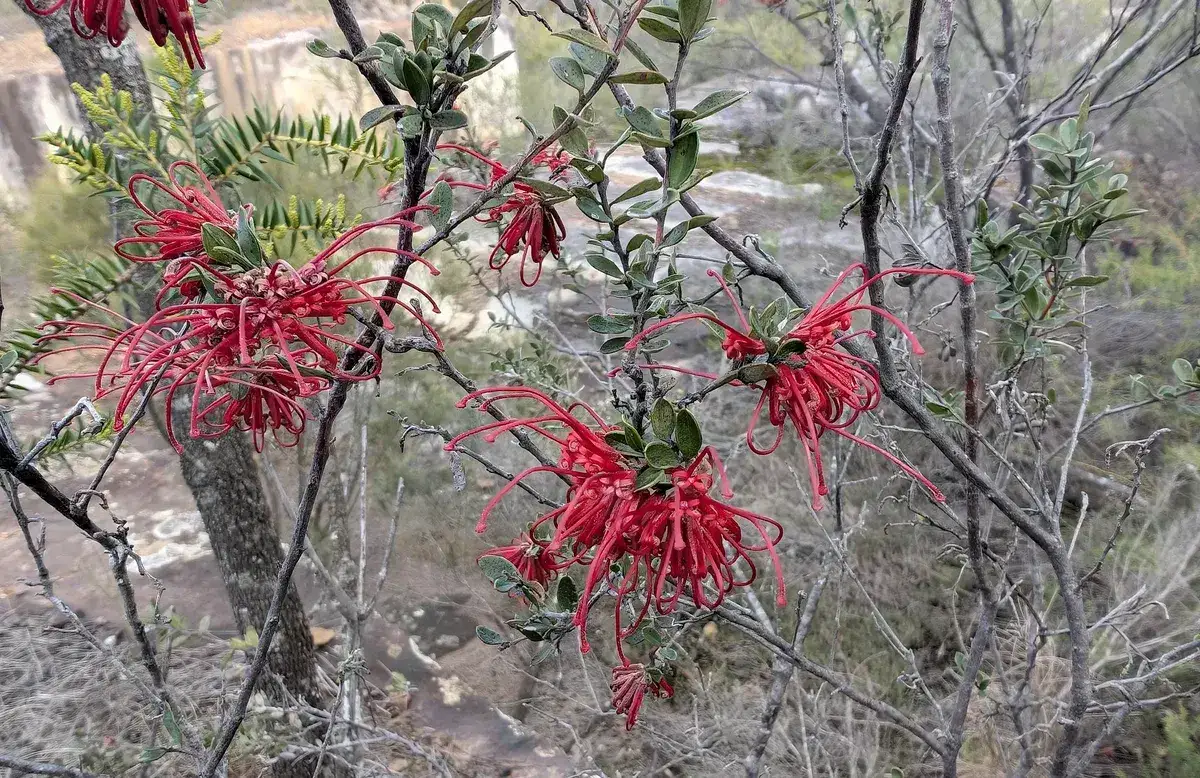
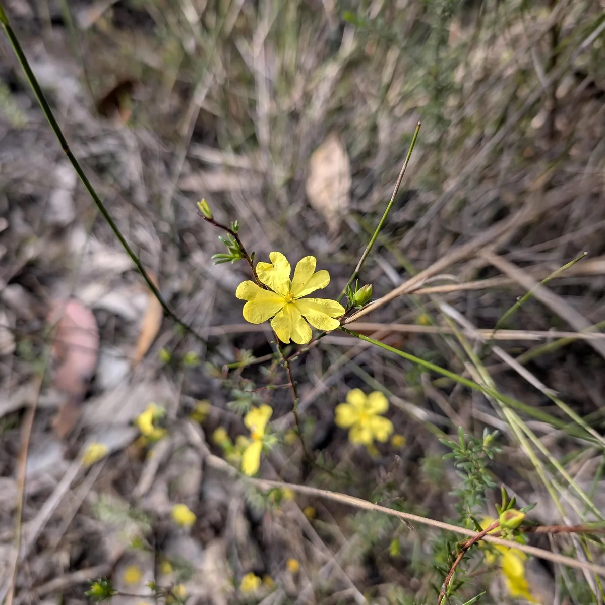
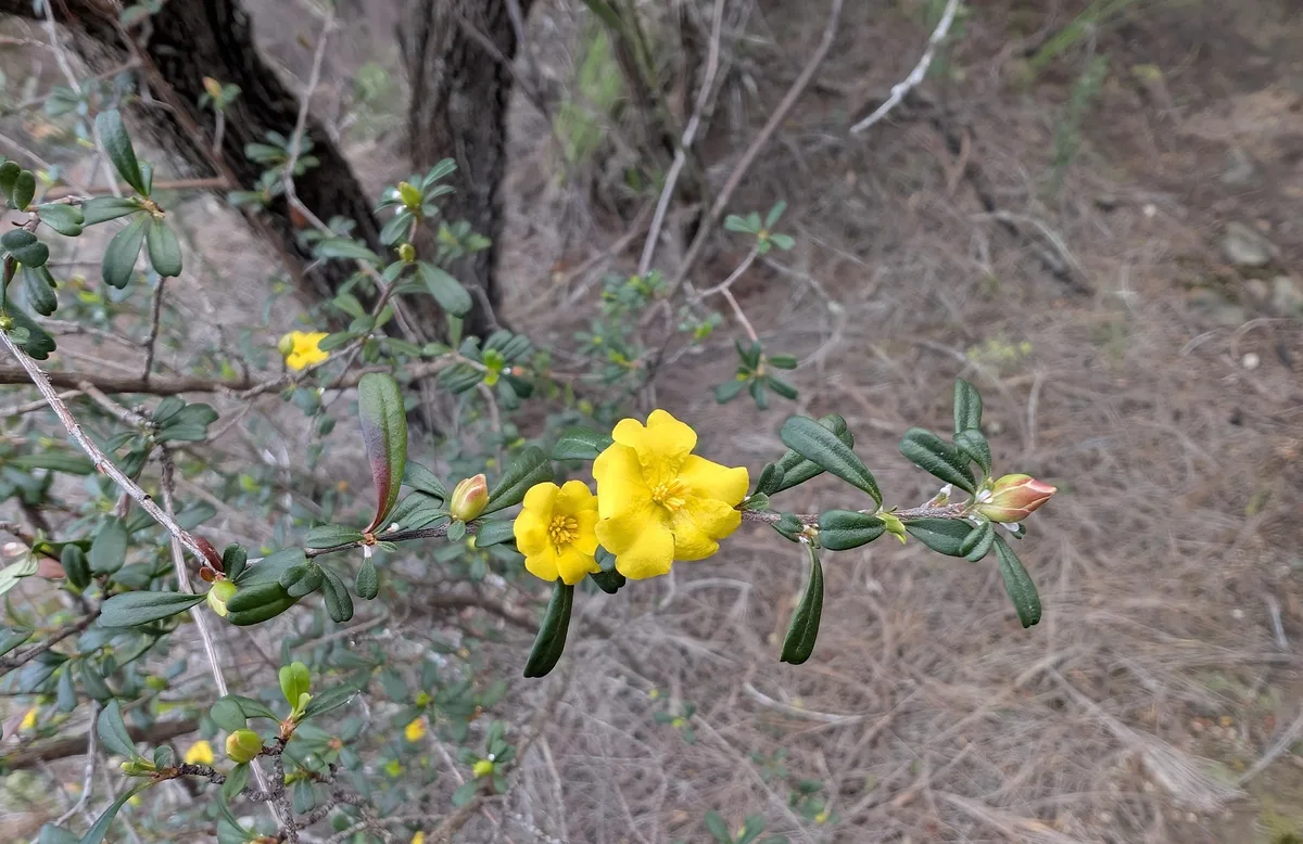
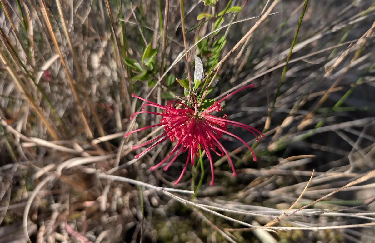
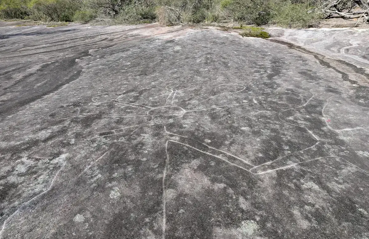
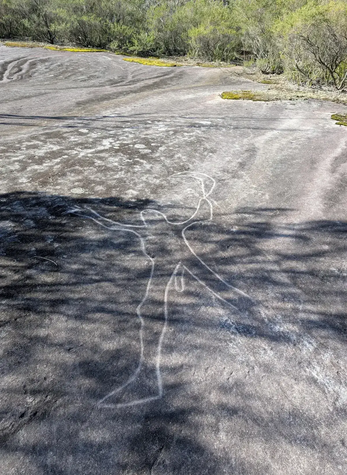
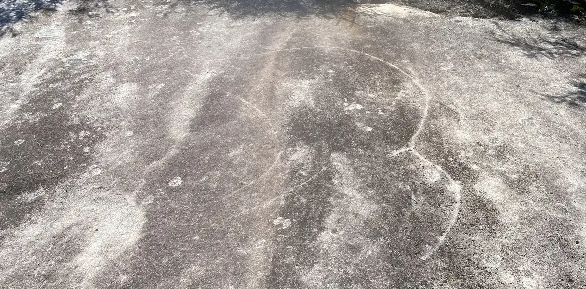
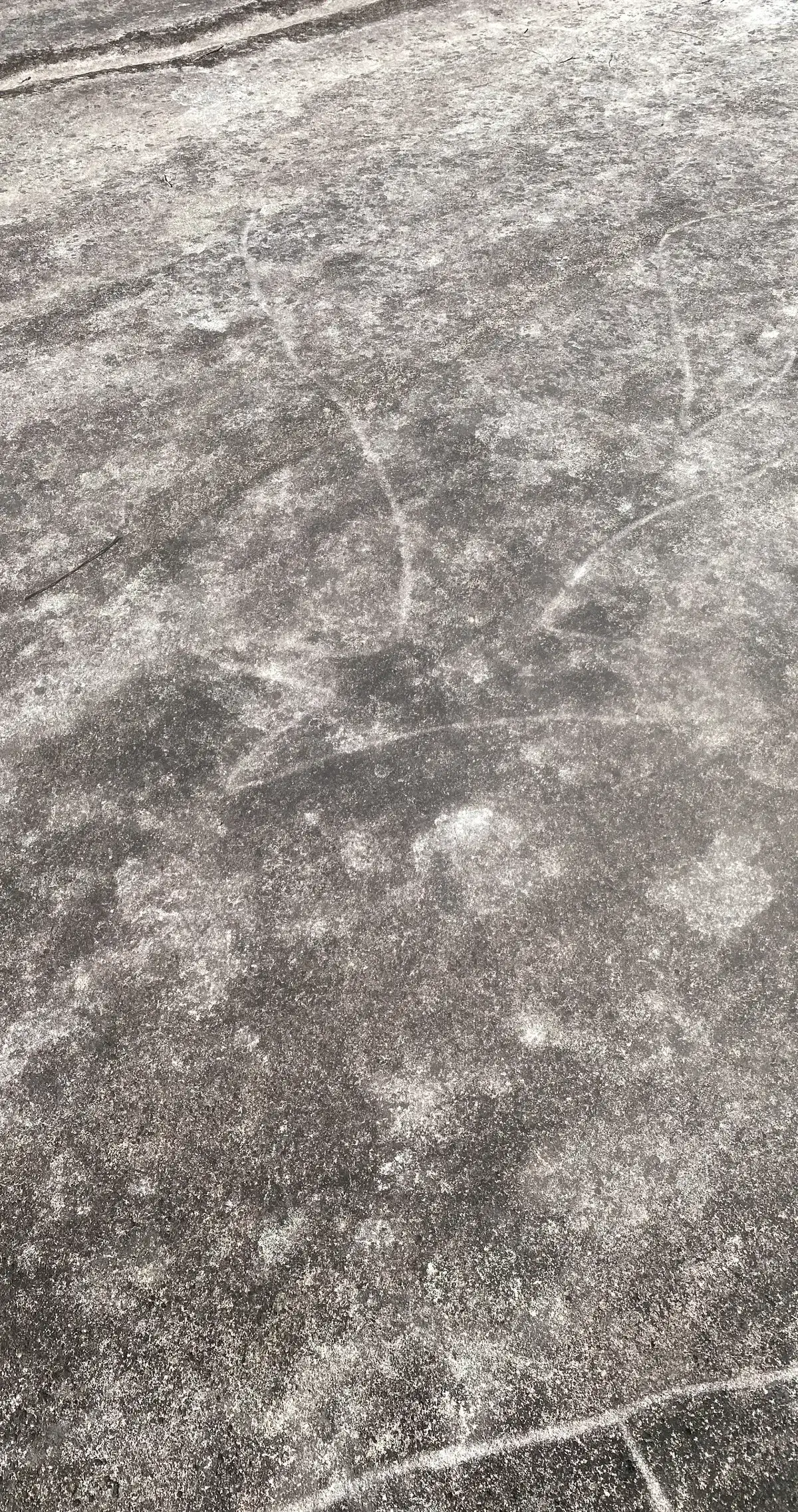
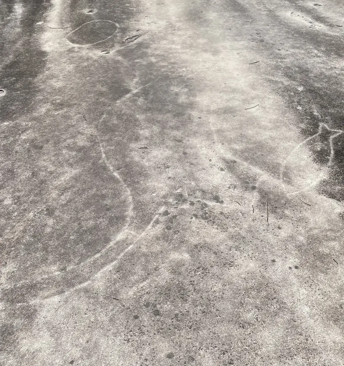
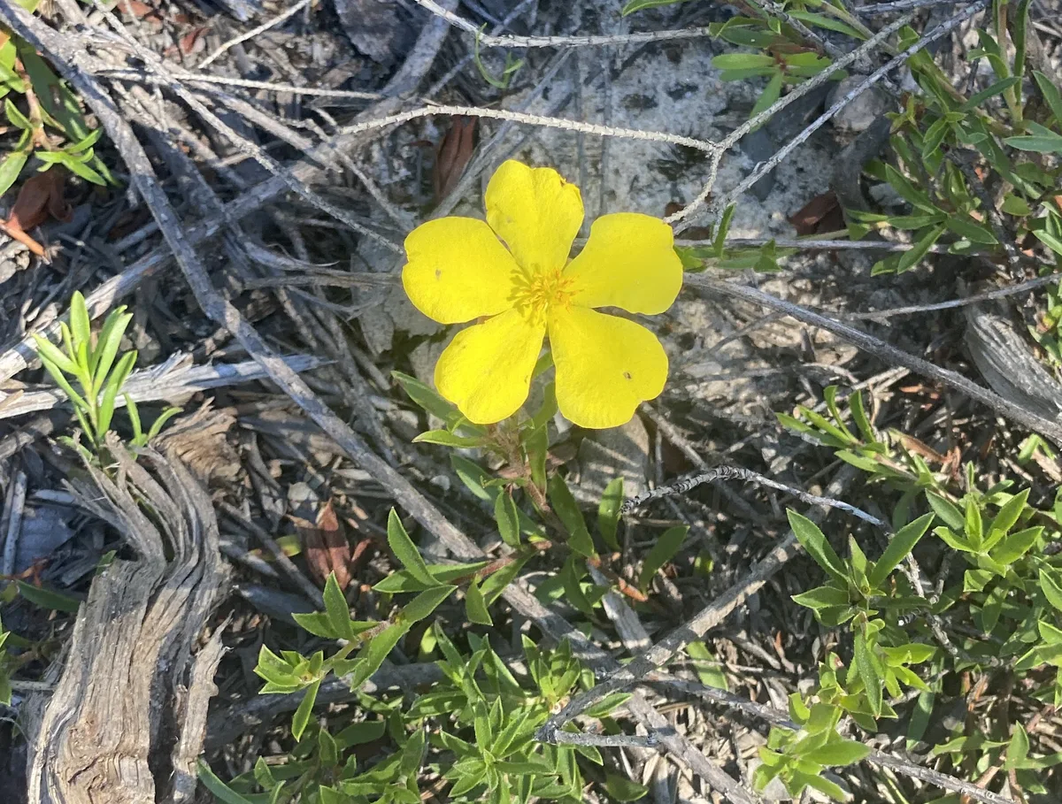
This is a lovely short bushwalk, highly recommend going in the afternoon near sunset in that golden light. The engravings are at their best at dusk.
Walk directions
- Start, 1.2km past the reptile park. This is a bit of a rough road in, if you have doubts about your cars 4WD capabilities, just park at the turnoff from the Old Pacific Highway and walk in, until you get the gate at this location, follow the path through the gate: -33.423330, 151.269771 Google Maps Link
- There is a fire trail to the left here, ignore it and continue straight ahead: -33.423179, 151.26868479 Google Maps Link
- Turn left here at this fire trail: -33.423673, 151.267040 Google Maps Link
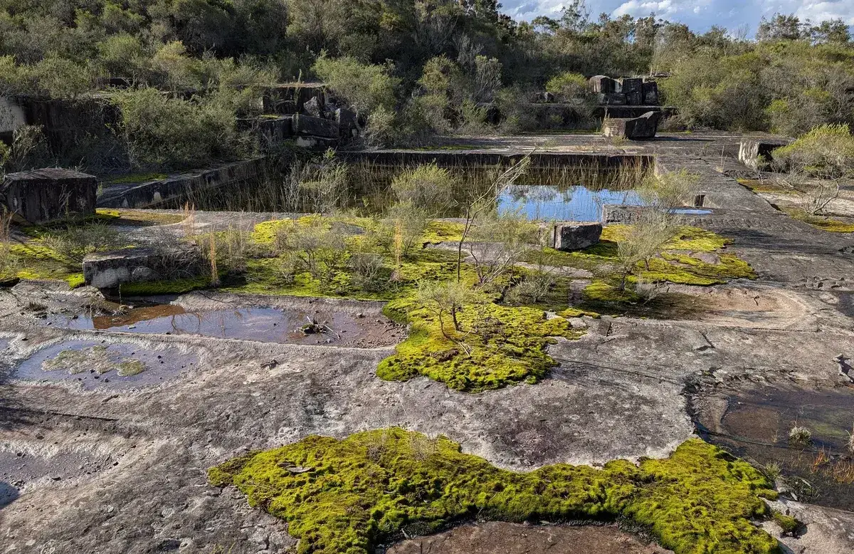
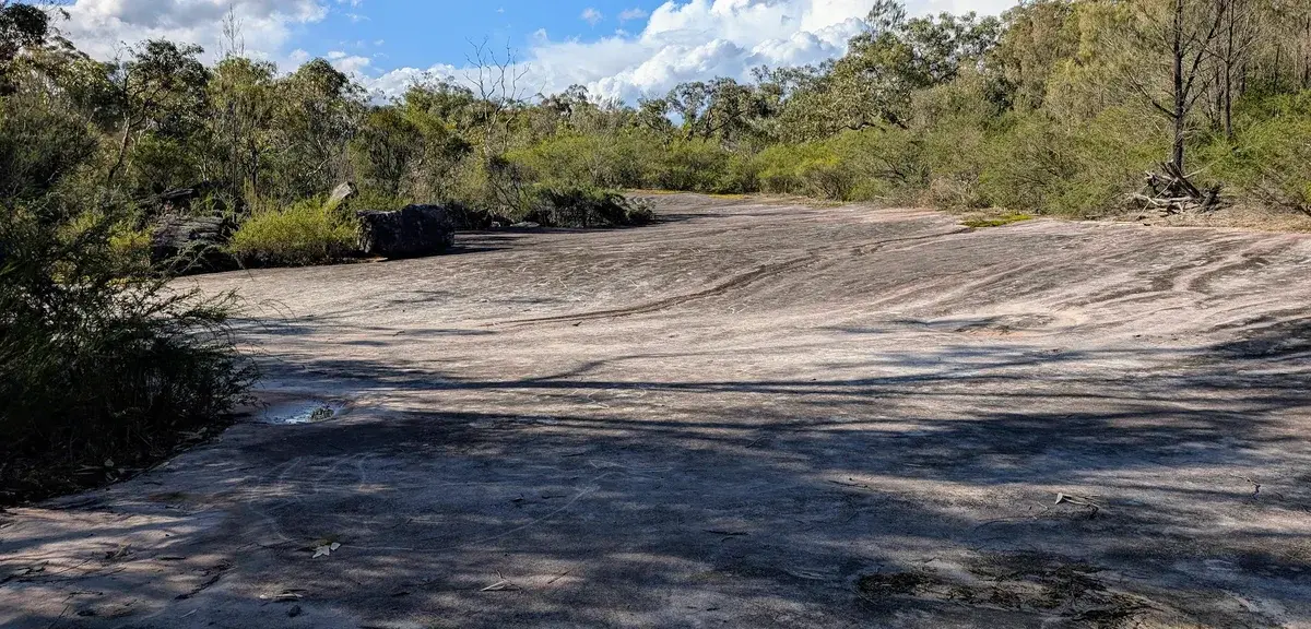
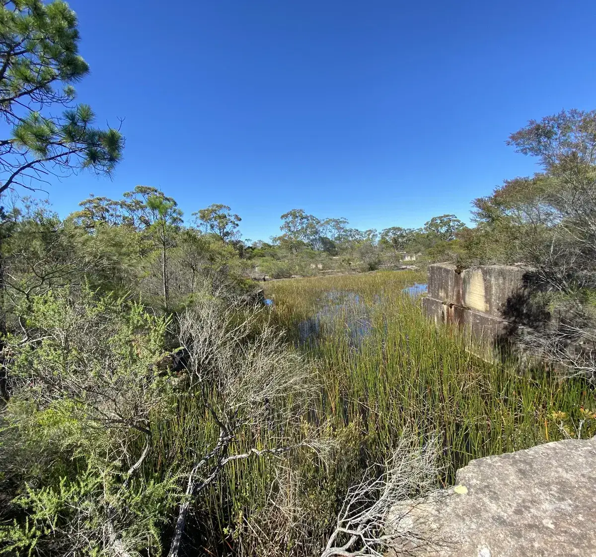
- This is the turnoff to the quarry, have a nice explore, be wary of drop offs: -33.424405, 151.266935 Google Maps Link
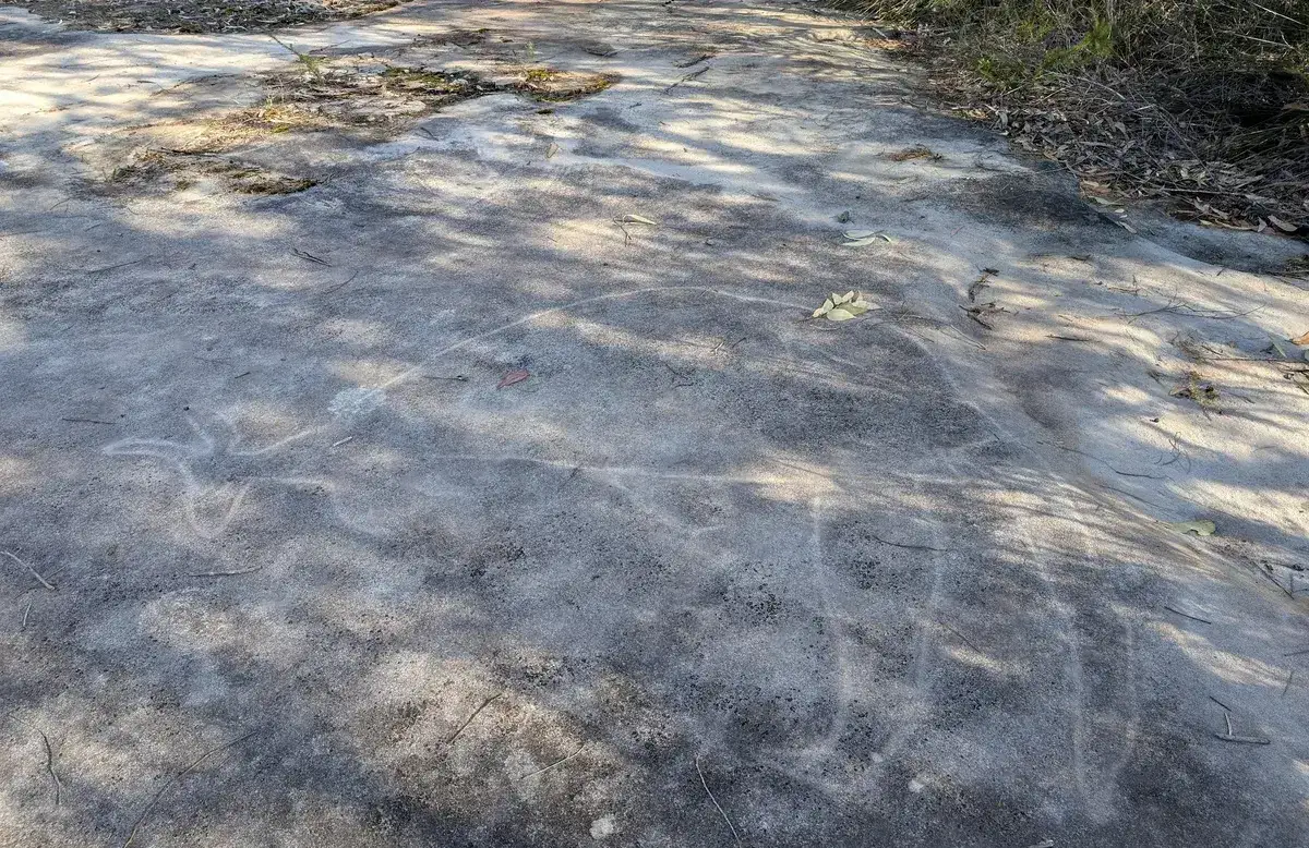
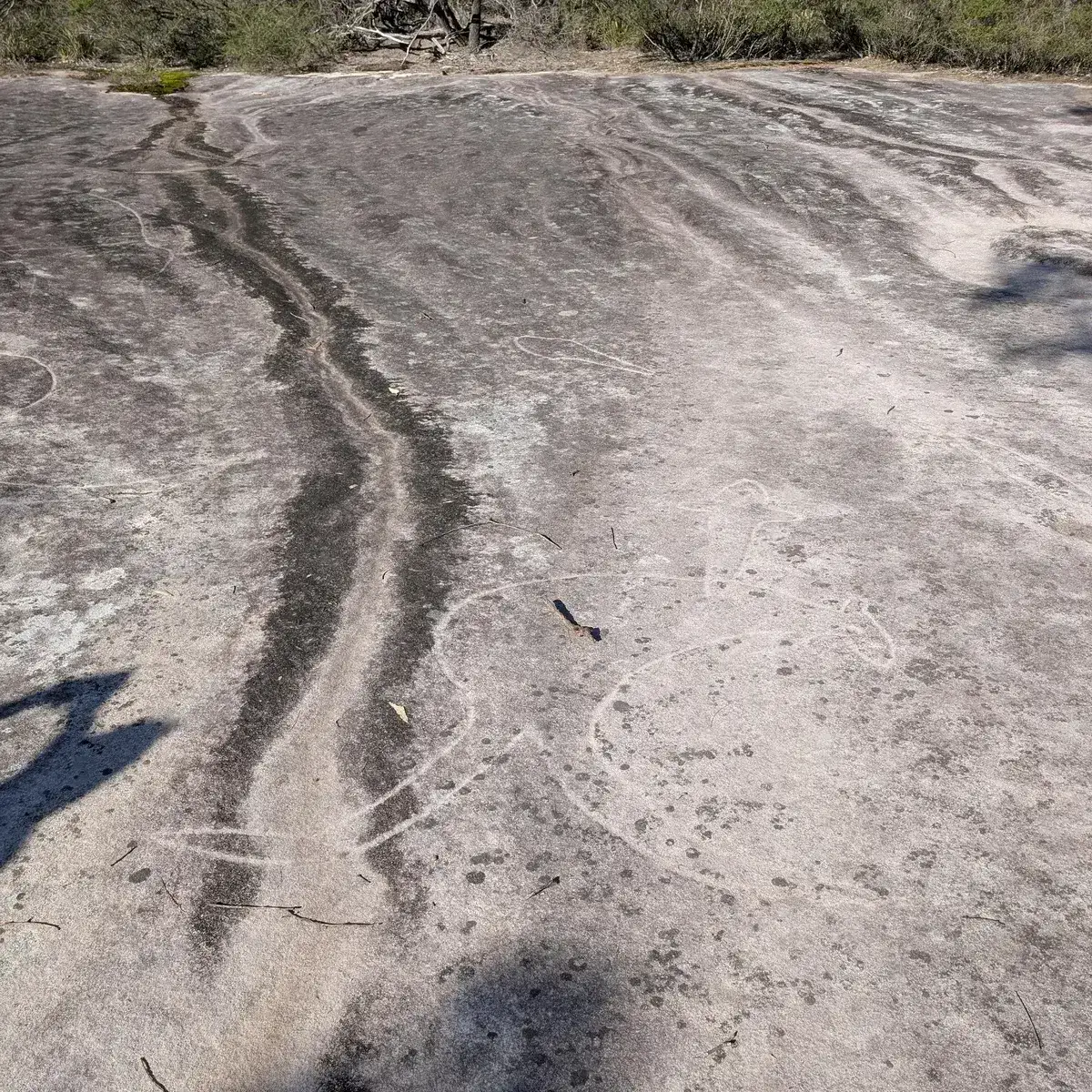
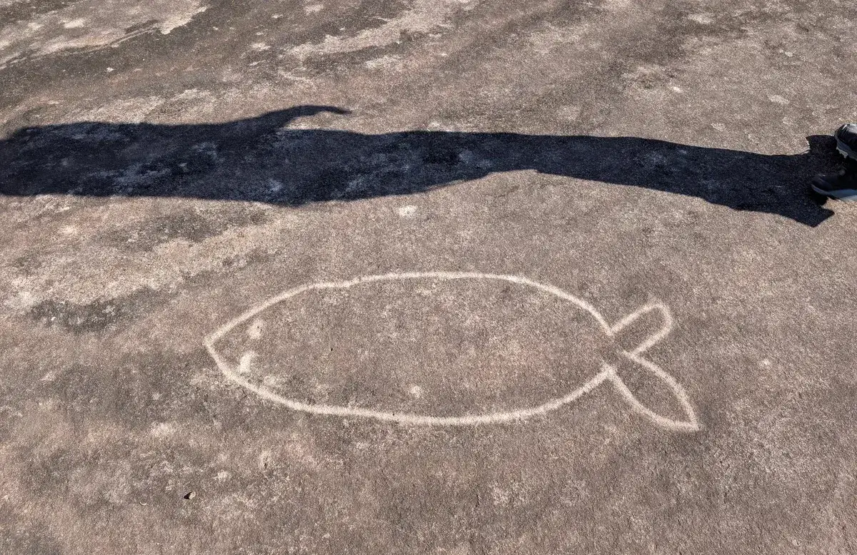
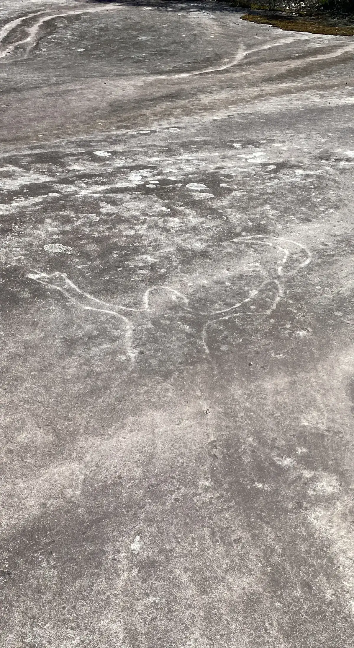
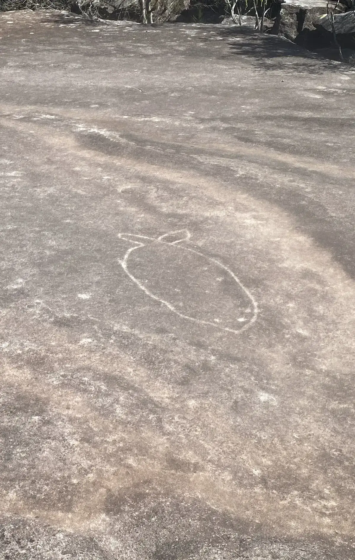
- Yay! You've reached the beautiful aboriginal engravings: -33.425303, 151.266665 Google Maps Link
- Track back to the road, when you get to the intersection, go straight: -33.423759, 151.265795 Google Maps Link
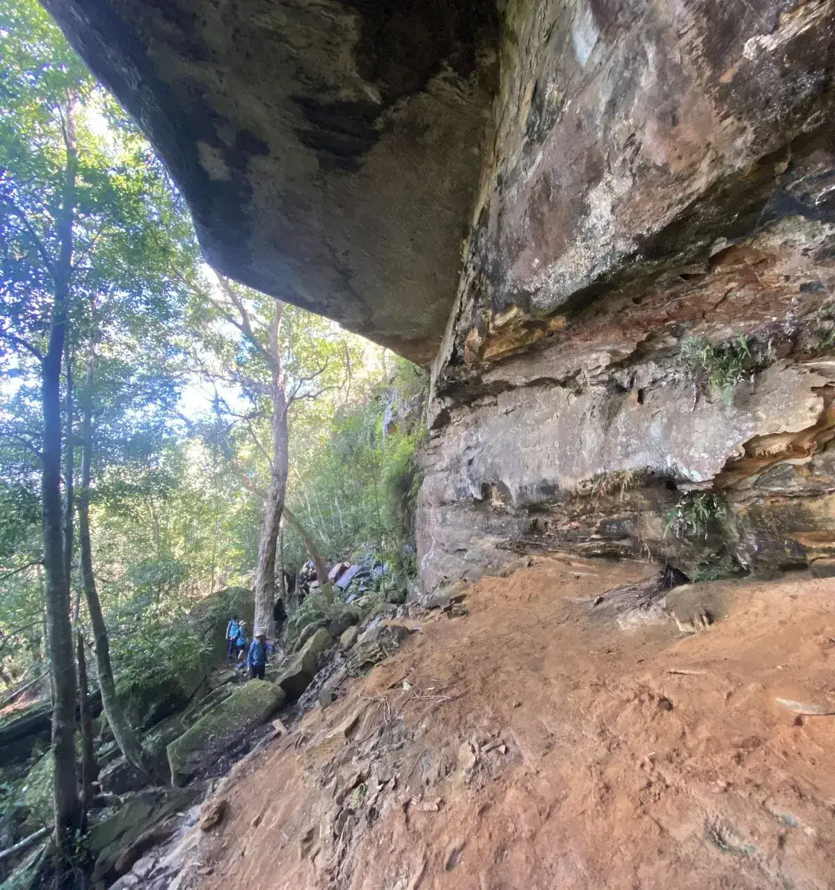
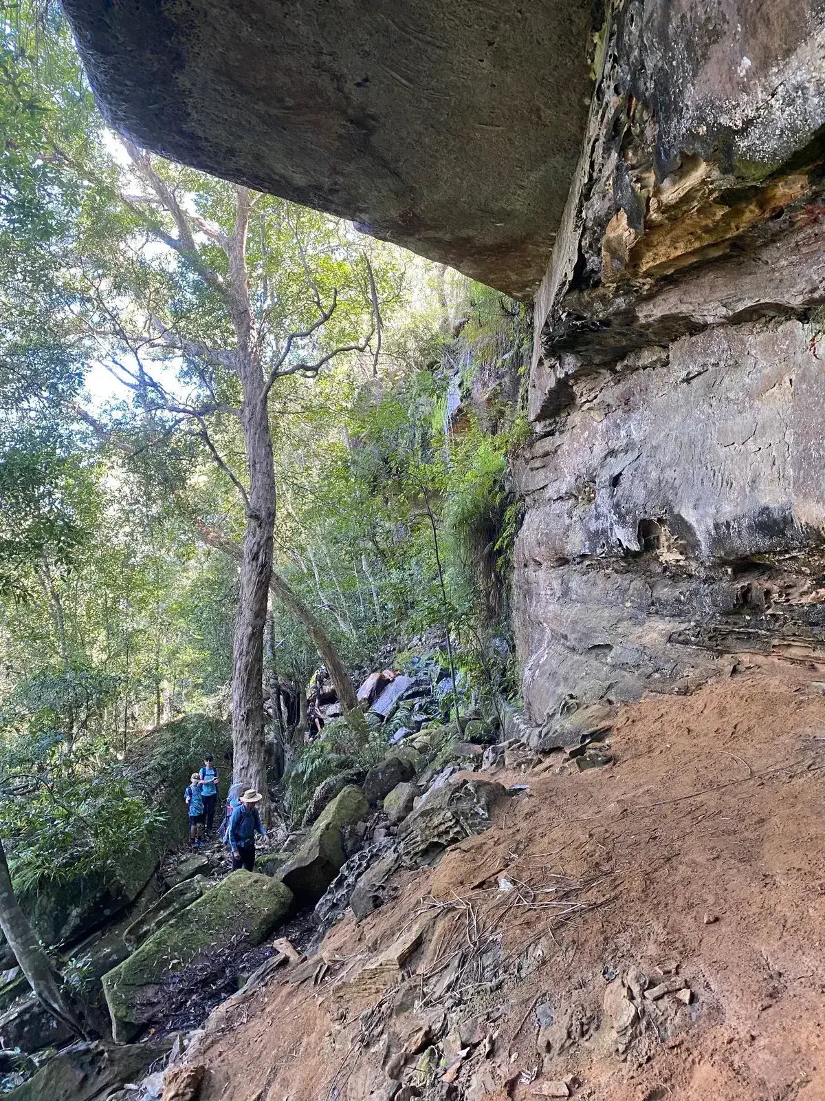
- Follow the firetrail down to the end then follow the tape down and along the ridgeline, this involves some bushbashing and walking experience: -33.425012, 151.256139 Google Maps Link
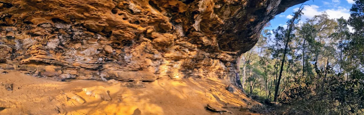
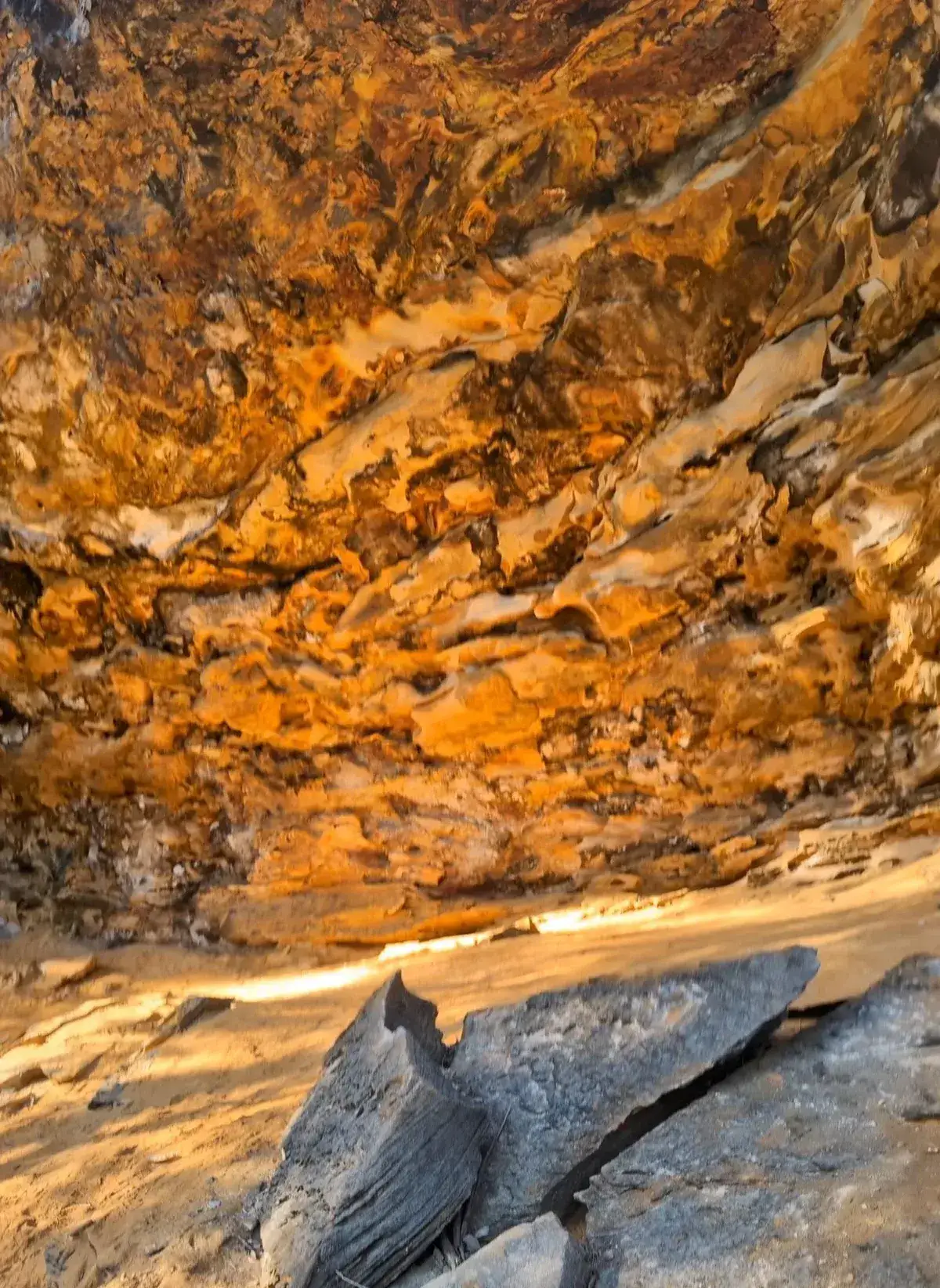
- Hooray, you have reached the cave!: -33.426606, 151.259315 Google Maps Link
- Continue along the ridgeline until you are back at the fire trail, head back to the start: -33.429561, 151.259379 Google Maps Link


Get Started
Thinking about a
project?
Good Architect only takes a limited number of projects a year to keep the quality high.
Talk to Us