 Shea CullenNSW Registered Architect 9748 · Updated 14 August 2026
The Central Coast has many beautiful National Parks and Reserves, from stunning Brisbane Water to Wyrrabalong National Park. This means there are stunning water views and a great lifestyle for bushwalking and bike riding. It also means there are a lot of bushfire prone properties on the Central Coast. The easiest way to find out if you are bushfire prone is to look it up with Central Coast Council's Online Mapping. Below is a step by step guide to finding out.
Alternatively you can talk to us here and we'll look up all these details for you.
If my site is Bushfire prone, what should I do?
If you are planning to do an extension or new build on your property, then Central Coast Council or a Complying Development Application will require you to build to the appropriate bushfire protection level, so you will need get a bushfire report to see what your BAL (Bushfire Attack Level) is. If you are BAL 40 or BAL FZ you cannot go through the complying development application pathway and need to lodge a Development Application and Construction Certificate. For bushfire reports I usually use Kristan Dowdle: Kristan@cdasurveys.com.au, it is fine if you have a different one though. Here is a good guide to fire resistant planting in Victoria, many of which are relevant in NSW.
- Click on the Online Mapping Tool on Central Coast Council's website here.
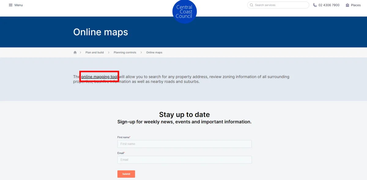
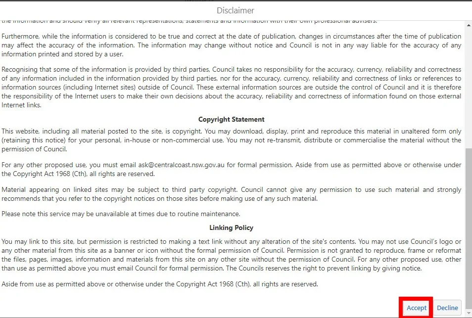
- Agree to council's terms and conditions:
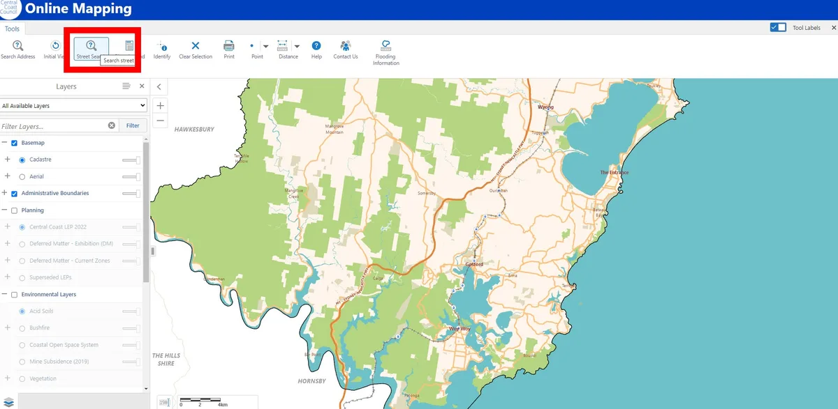
- Try searching for your address. This often doesn't work, tried three different examples and not a single one worked. Not to worry though, use the scroll on your computer mouse to zoom into your address. It often helps to have google maps open beside it to make your address easier to find.
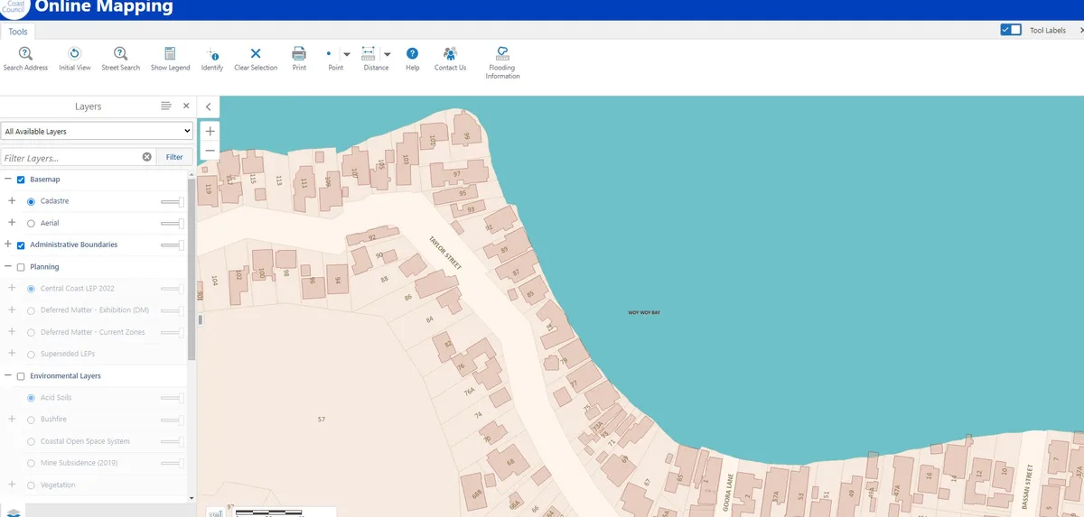
- Zoom into your address using the scroll bar.
- In the left sidebar scroll down.
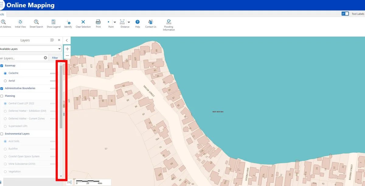
- In the left sidebar scroll down and select Environmental Layers:
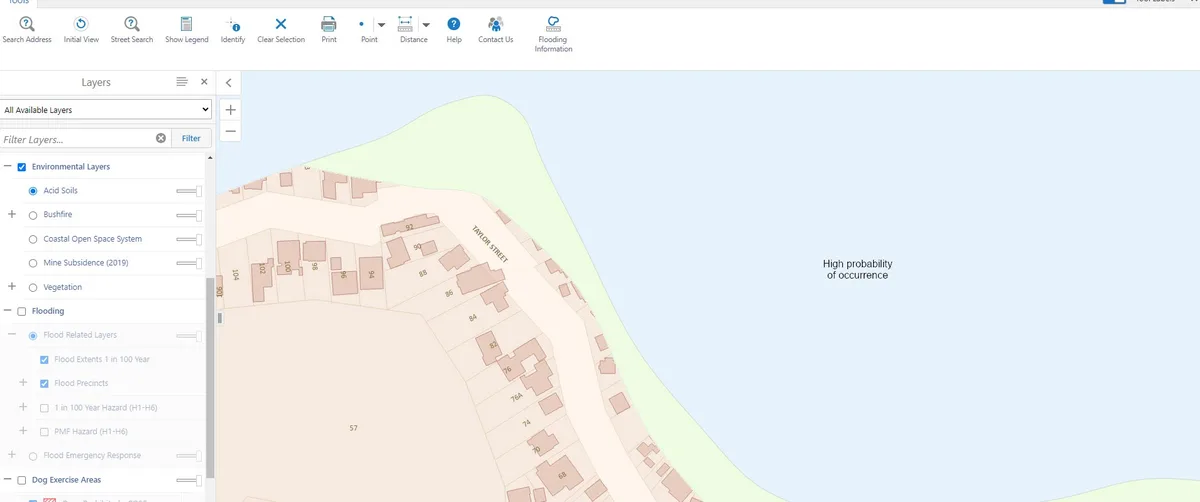
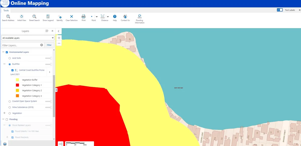
- Select Bushfire. If there is colour on your site then you will need a Bushfire Report to determine what your Bushfire Attack Level (BAL) is and the bushfire standards you will need to build to.
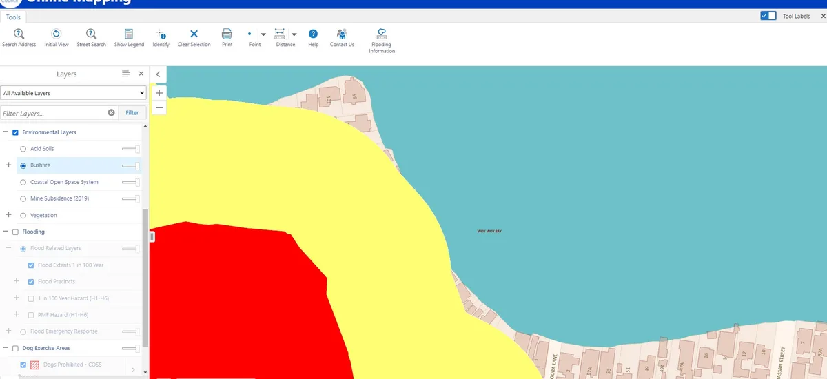
- You can click on the legend to see which category it is depending on the colour.